Our Services

Topographic

Scroll

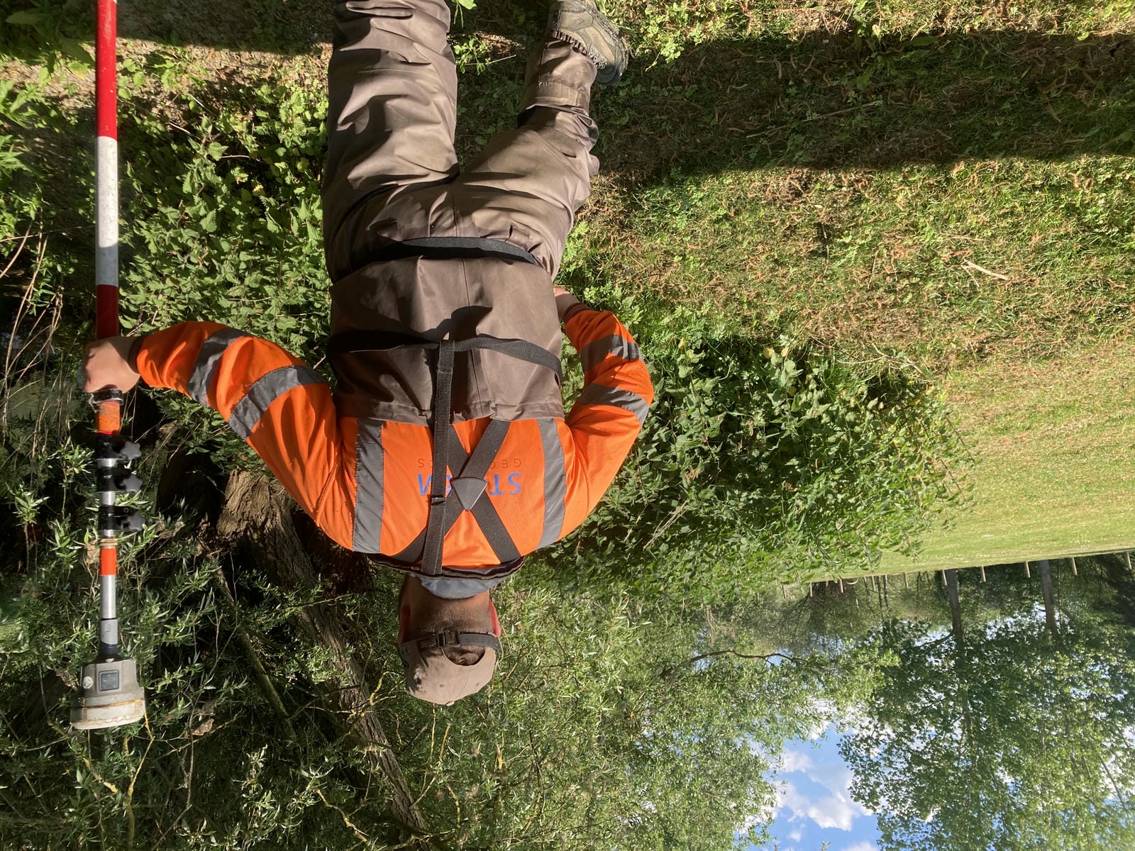
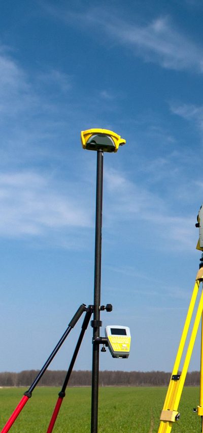
Storm Geomatics have a highly effective data capture solution with Trimble instruments.

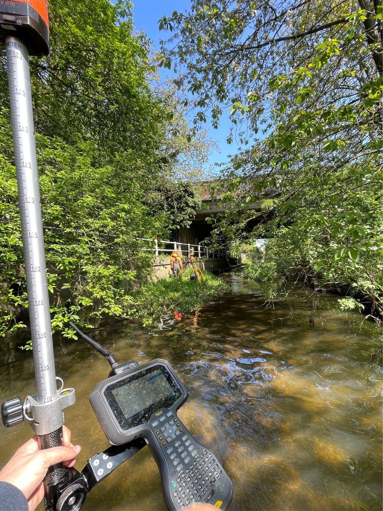
Large or small topographic surveys can be carried out with maximum efficiency by lending the most suitable instrument to the differing areas of the project. Data is captured using one single data collection handset between different survey techniques, allowing the surveyor to build up an overall plan of the site in real-time.

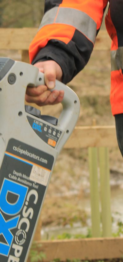
Underground services can be traced with radio or radar equipment and plotted on the plan – vitally important if your project involves any groundwork as this could avoid a costly service strike. Data is then downloaded into the Carlson Survey Software, where a “Field to Finish” process is undertaken.

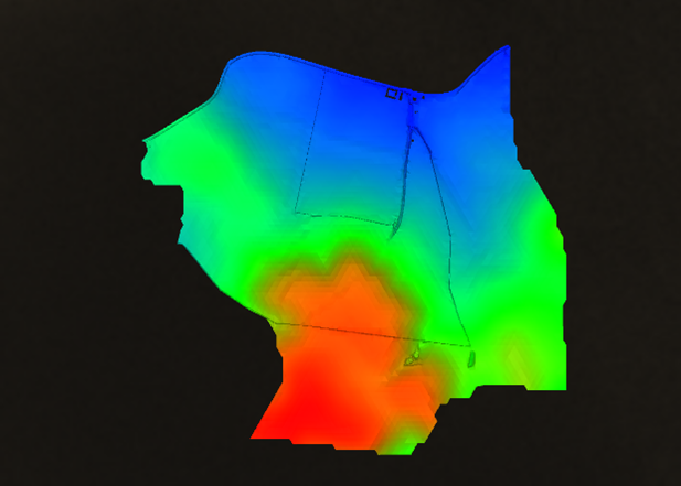
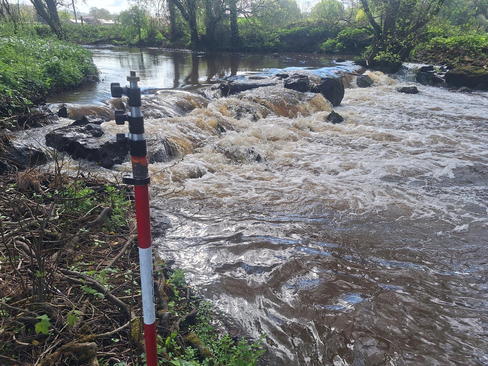
Topographic surveys can be produced in two or three dimensions at any scale of any terrain or water body, in most digital formats, or simply plotted on paper up to A0 size.

Expert Tip
“Before asking a surveyor to carry out a topographic survey, read The Survey Associations (TSA) Client Guide – Topographical Surveys which is available here. You will find a huge amount of other free and useful information from here!”
Mike Hopkins
Managing Director

Find Out More

Do you have a Topographic project we can help with?

Call 01608 664910 or

Case Study

Storm Overcome Urban Survey Safety Challenges

Case Study

Collaborative Challenges: Surveying Success

Case Study

River Bain Bashed by Storm Babet

Recent News

Our Services

Safe.
Accurate.
Efficient.
Effective.

Underground Utility Surveys

Underground Utility Surveys

River Digital Twin®
River Digital Twin®

River Digital Twin®

Watercourses
Watercourses

Watercourses

Bathymetric Surveys
Bathymetric Surveys

Bathymetric Surveys

Stillwaters
Stillwaters

Stillwaters

River Condition Assessment

River Condition Assessment

Flood Plains
Flood Plains

Flood Plains

Flash Floods
Flash Floods

Flash Floods

Invasive Weeds
Invasive Weeds

Invasive Weeds

Near Shore
Near Shore

Near Shore

Scour Protection
Scour Protection

Scour Protection

Survey Control
Survey Control

Survey Control

Threshold Levels
Threshold Levels

Threshold Levels

Water/Silt Sampling
Water/Silt Sampling

Water/Silt Sampling