River Digital Twin® V2
Creating components for river catchment digital twins that improve design, management and forecasting for flood alleviation and habitat management projects.
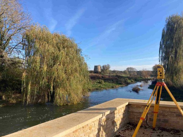
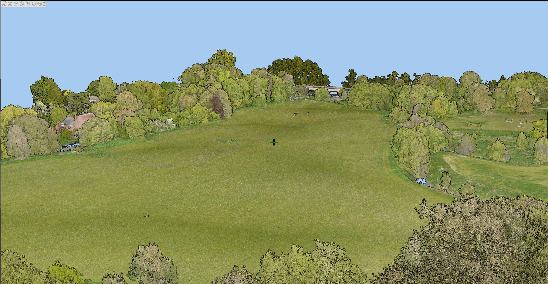
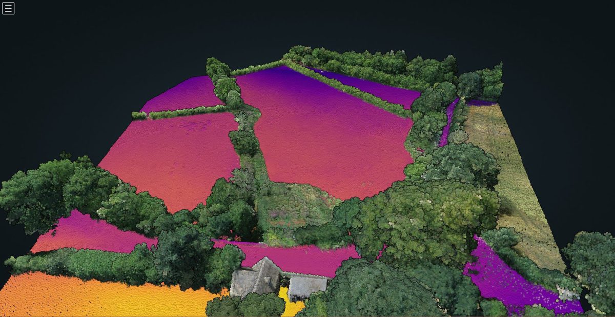
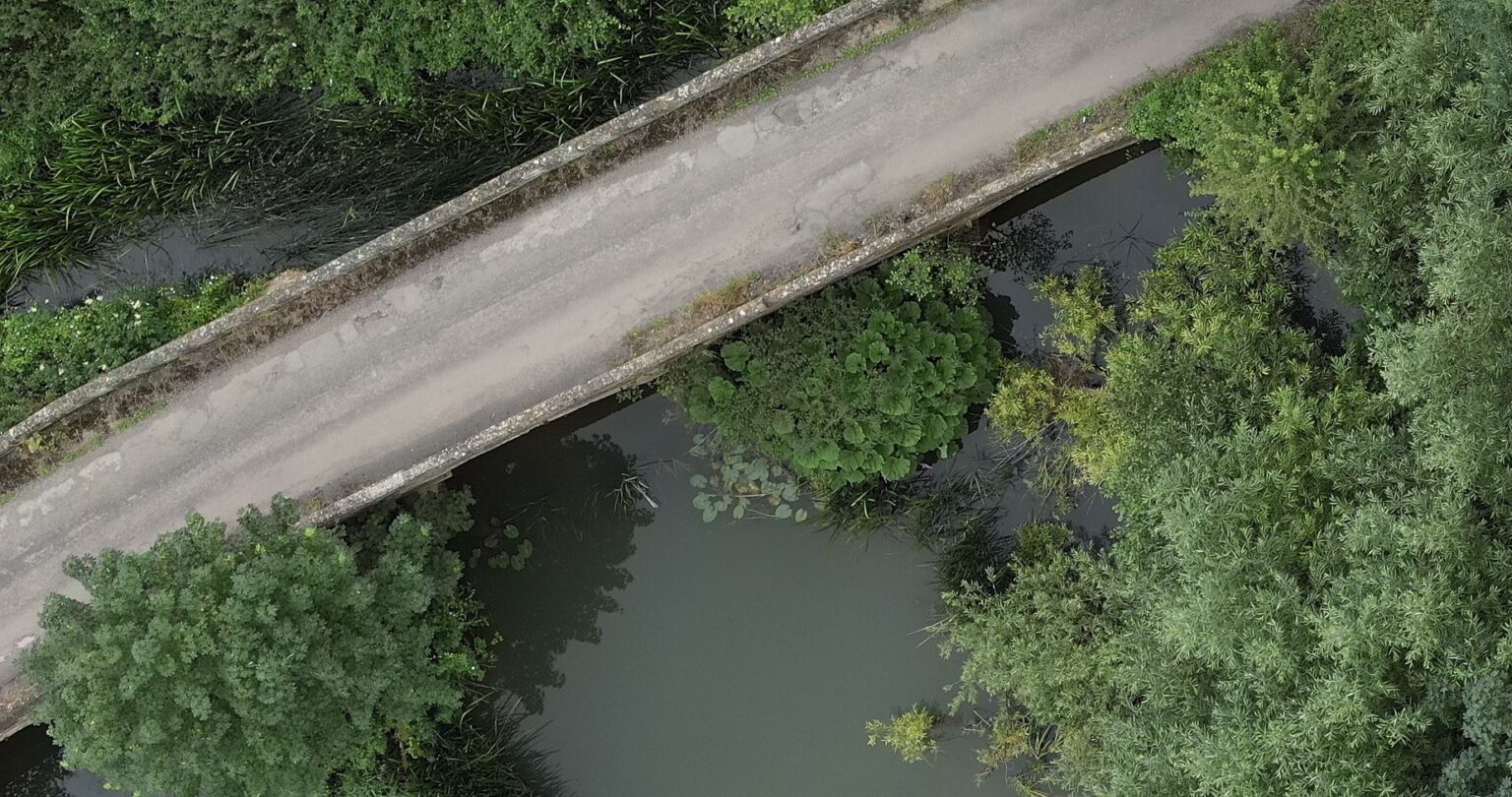
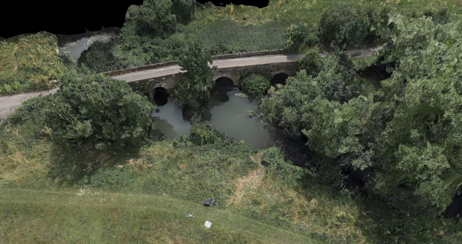
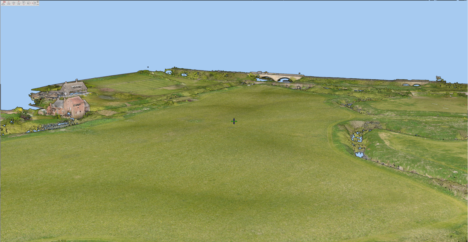
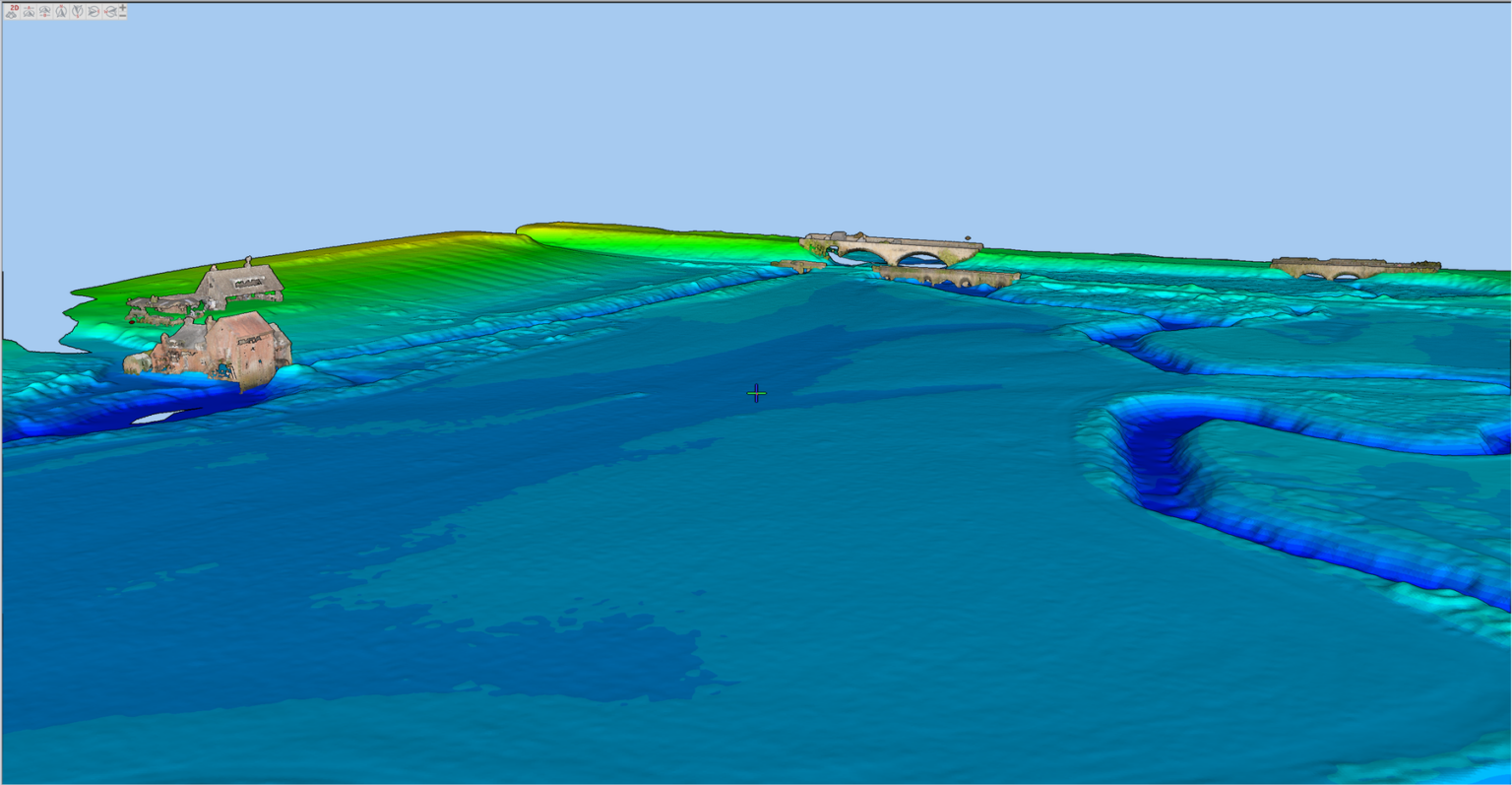
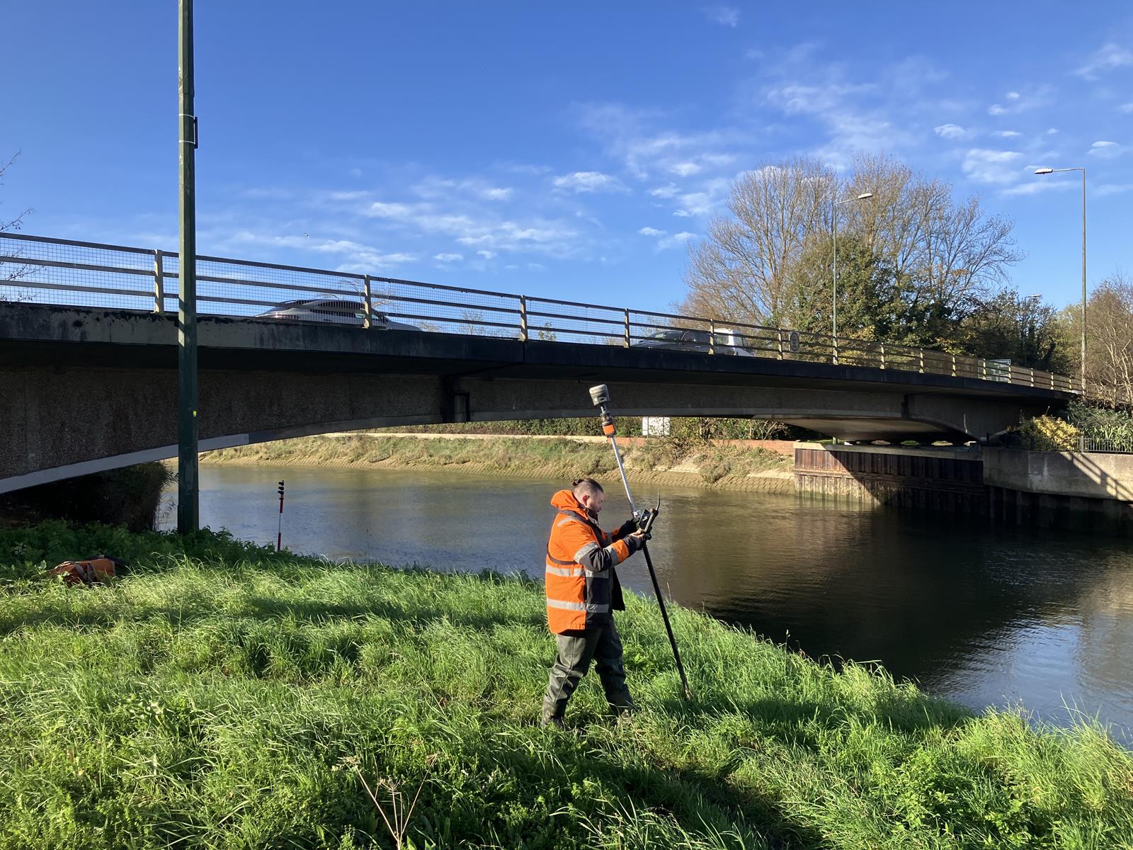
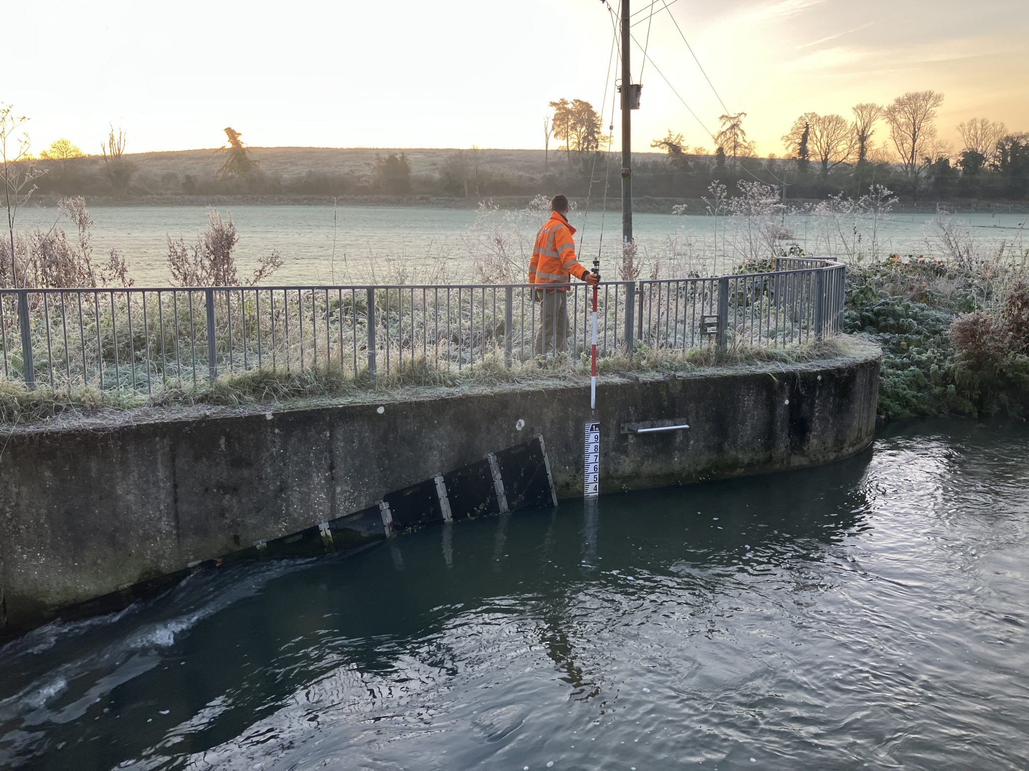
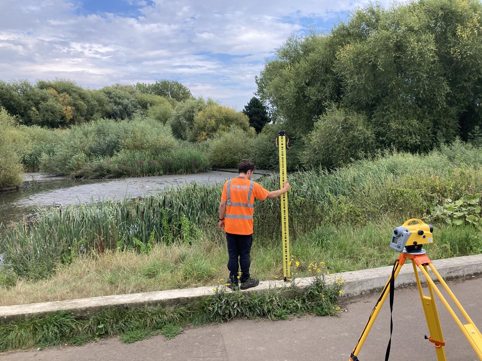
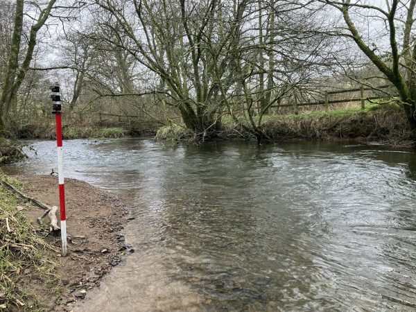
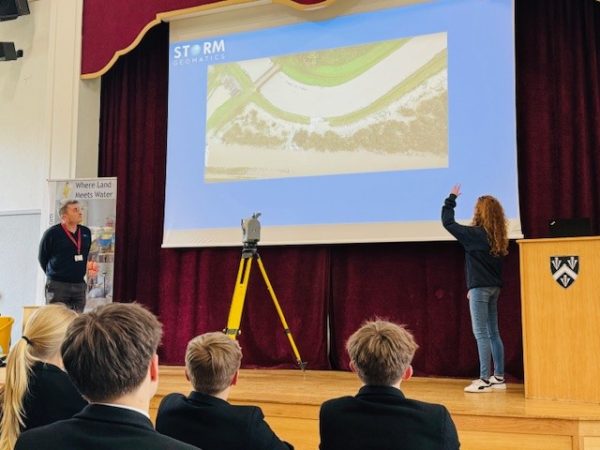
Our surveyors bring together data from different sensors to provide detailed geospatial and environmental data which is used to inform flood and environmental projects. Having a river digital twin enables land managers, engineers and ecologists to be better informed on the full ecosystem, river and floodplain geometry and therefore make more balanced decisions when proposing interventions that influence the hydrology and ecology of the river corridor. Our surveyors measure detail above and below the water surface to provide full information in colourised point clouds, photogrammetry, hi-resolution orthomosaic images and digital terrain models (DTMs).
What is a River Digital Twin®?
A River Digital Twin® is a sophisticated, data-driven replica of a river system. This virtual model integrates real-time data, historical records, and advanced simulations to mirror the behaviour of the actual river environment. From monitoring water flow and sediment transport to identifying potential flood risks, it’s a game-changing tool for decision-makers, engineers, and environmentalists.

How River Digital Twin® Benefits You
- Accuracy: Access precise, real-time data for comprehensive river analysis.
- Efficiency: Save time and resources by replacing traditional monitoring methods.
- Safety: Reduce hazards by predicting high-risk events with advanced simulations.
Why Choose a River Digital Twin®?
- Predictive Analysis: Anticipate changes in river behaviour, including flood risks and erosion patterns.
- Enhanced Decision-Making: Make data-informed choices for infrastructure projects and environmental conservation.
- Sustainability: Support ecological preservation by understanding the impact of interventions.
- Cost Efficiency: Reduce costs associated with physical surveying and mitigate risks early.
Our Expertise in River Digital Twin Solutions
Storm Geomatics, deliver River Digital Twin services. Our team of experienced surveyors and data analysts combines cutting-edge tools with deep industry knowledge to build bespoke digital models tailored to your needs.
Our Services Include:
- Comprehensive river surveys using advanced geospatial technology.
- Integration of hydrological, environmental, and climate data.
- Real-time monitoring and analytics.
- Scenario modelling to assess the impact of natural events and human interventions.
Who can benefit from a River Digital Twin®?
Our River Digital Twin technology supports diverse industries, including:
- Flood Risk Management: Improve planning and response strategies.
- Civil Engineering: Design resilient infrastructure with accurate river data.
- Environmental Conservation: Protect aquatic ecosystems effectively.
- Urban Development: Plan sustainable urban expansions near river systems.

Find Out More
Do you have a River Digital Twin® V2 project we can help with?
Call 01608 664910 or
Recent News
Storm Geomatics: A New Chapter Unfolds
Future River Surveyors, How to Inspire Them…