River Habitat Surveys
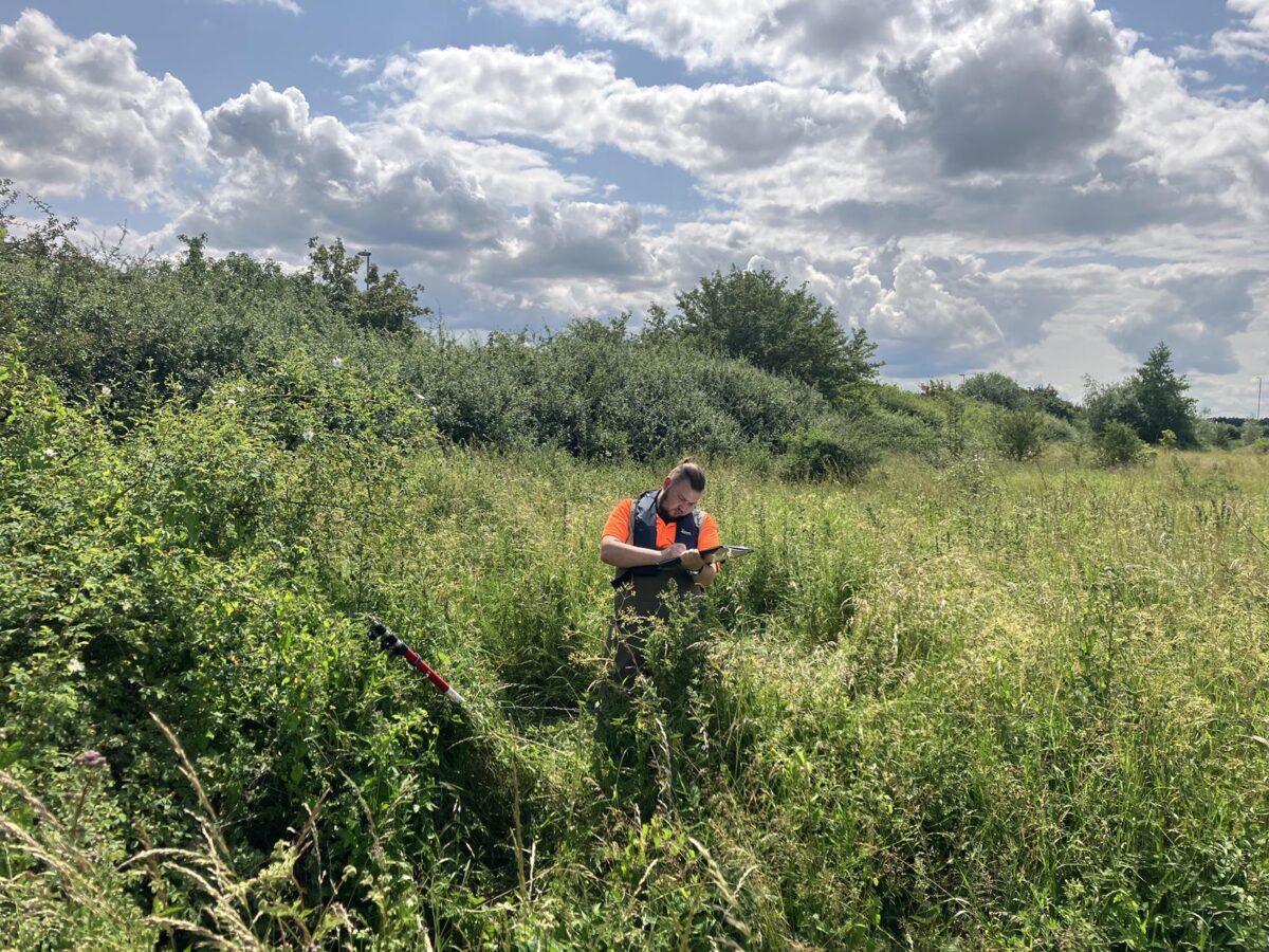
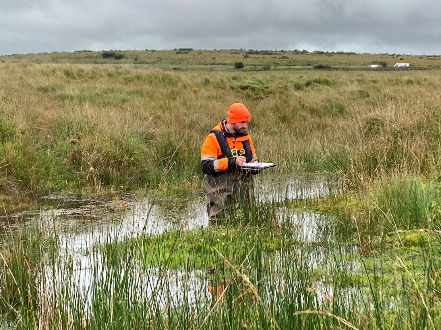
River Habitat Surveys (RHS) were designed to provide an objective framework for assessing river habitat quality. To perform an RHS, there are various key components that need to be included; a standard field survey method, a dedicated database for data input and comparison, rule-based methods for evaluating habitat quality, and a system for identifying artificial modifications to river channels. This survey method involves the systematic collection of map and observational data, typically focused on a standardized site covering a 500-meter stretch of river channel and its adjacent 50-meter corridor. During the survey, our surveyors will identify specific features in the channel, habitat elements, and any human-induced alterations, which are recorded at 50-meter intervals using spot-check transects. While RHS is widely used and effective, its fixed 500-meter sub reach and systematic sampling limit its suitability for biodiversity net gain (BNG) calculations (e.g., Gurnell et al. 2020), which require higher spatial resolution and adaptability.
Find Out More
Do you have a River Habitat Surveys project we can help with?
Call 01608 664910 or


