Join the Revolution… A Problem Solving Guide to River Survey Procurement
The time has come for surveyors to stand up and be counted by taking the lead on survey specifications.
Technology and innovation are fast moving with survey possibilities developing constantly. Surveyors are geospatial experts and are best place to drive how their services are procured to maximise value for each project in favour of their clients.
At Storm Geomatics we invest time, even before a project has been successfully awarded, so that our client’s objectives are fully understood. We ask questions to provide the maximum value for each survey. “Off the shelf” survey specifications should be a thing of the past, because engineers who reply on these will not receive the best value for money.
Asking key questions can provide surveyors with a far greater understanding of what the long-term aim of the project is and what the data will be used for.
- What will the geospatial data be used for?
- What tolerances are required from the survey?
- Which software do you want the data to integrate with?
- What attributes attached to the geospatial data will provide efficiencies for your project?
- What density of data is needed?
- Does the survey have a budget?
- What other disciplines could ALSO use the survey data?
Storm Geomatics create premium long-term and short-term value by understanding the actual needs of their client rather than being told what they usually receive from a survey and asked to do the same again. Geospatial surveyors are experts in the collection of data, often their client doesn’t know what level of data they want OR what options are available to them. Each project has an optimum “fit” and it is only through knowledgeable conversation from both parties that the specification and scope can be matched.
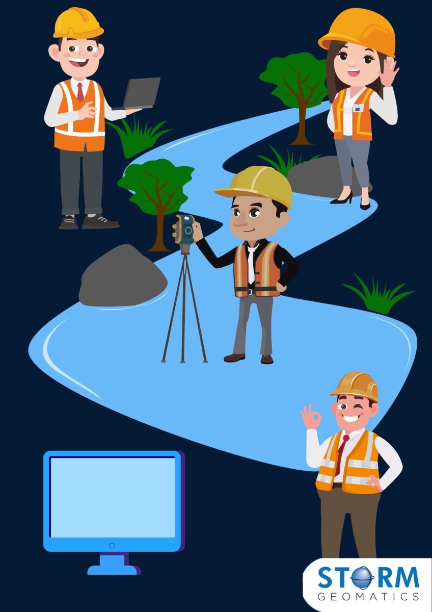
Problem 1: Restricted by basic survey specifications.Engineers or Project Managers having to interpret data from basic minimum data delivery due to surveyors not consulting with client at point of procurement.
Solution: Storm carries out due diligence at the front end of every project (before project award). This provides more value, sometimes for less cost. These conversations reduce project delays, avoid costly extensions and eliminate safety concerns. In this case study, in an urban setting, Storm Geomatics show that by using key, early conversations they were able to maximise high quality data where other surveyors had failed.

Problem 2: Surveyors providing the minimum and engineers having to shoehorn data into system.
Solution: Storm will ask, what are the long term aims of the survey? How will the data be used? Using GeoRivers®’s vast array of exports the engineer saves time with outputs of all specific model file outputs with additional hyper-intelligent attributes. GeoRiver®’s value can be seen in this case study
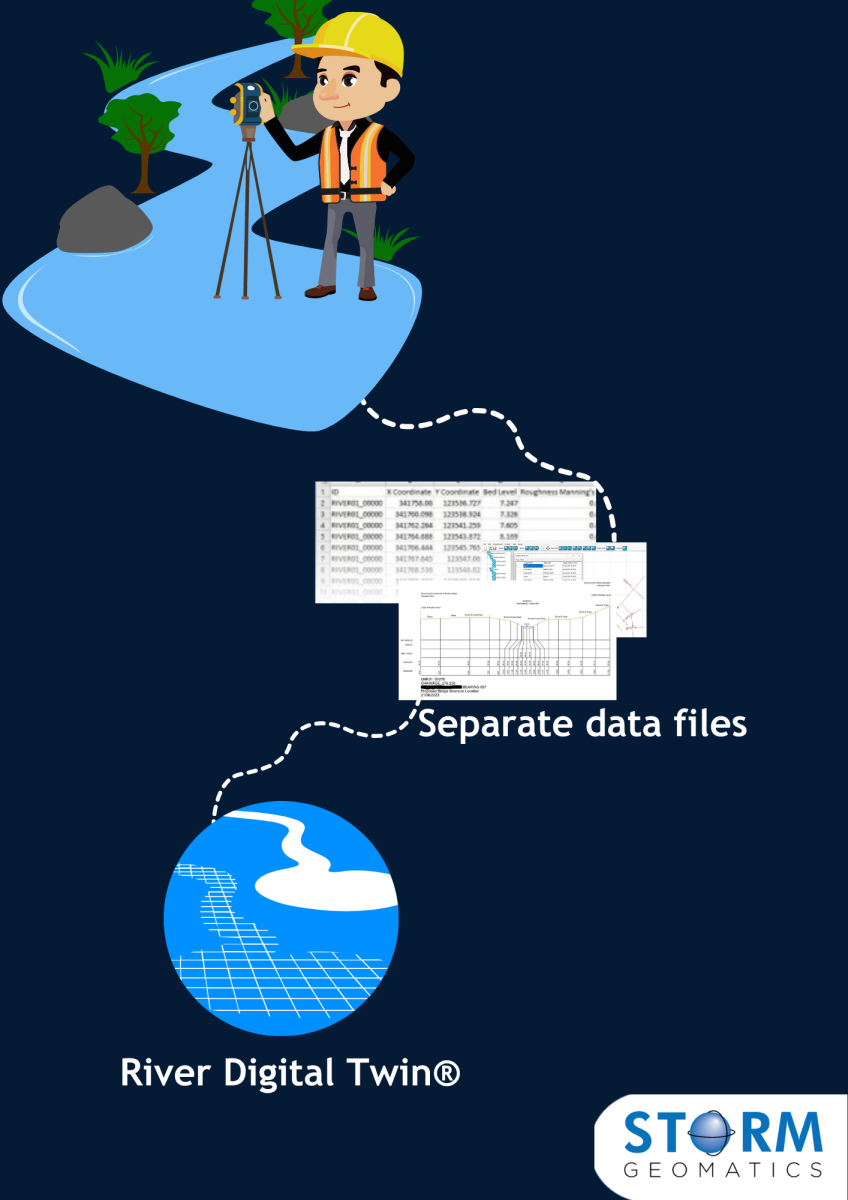
Problem 3: Viewing/User experience where large data sets are to be navigated. A model build using separate files of photos, XS drawings, LS Drawings and Location plans.
Solution: Storm Geomatics present the data in one place where it can be viewed and analysed with ease. Large data sets are delivered using web browsers to remove the need for clients having to handle huge amounts of data. Resulting in quicker processing with higher integrity results. River Digital Twins® are typically used for feature extraction on multidisciplinary projects and are presented to our clients via third party software for flood forecasting or habitat creation. Then becoming an asset to the interested parties, as achieved on this project.
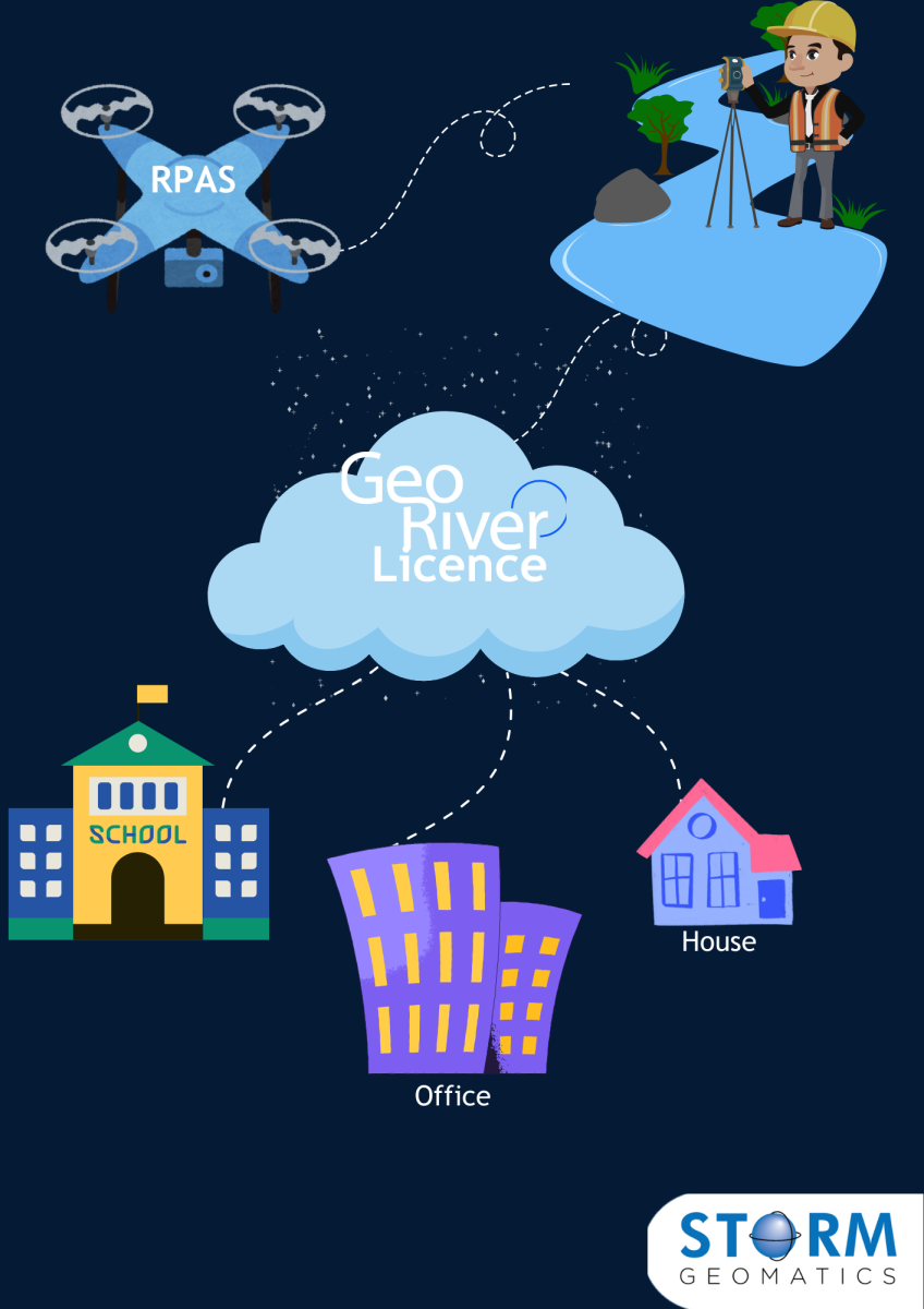
Problem 4: Licencing Issues. To use survey data that is fit for purpose will often require a dongle, complicated network licencing, non-transferable licences.
Solution: For river channel surveys, GeoRiver® offers flexible cloud licencing, install on any number of computers anywhere in the world and if the licence is free then you can use it. Similarly, Storm Geomatics deliver RPAS or Bathymetric survey data in cloud based licenced software that offers the same flexibility. The ability to view a project in cloud databases or GIS software offers the right level of data and visual references.
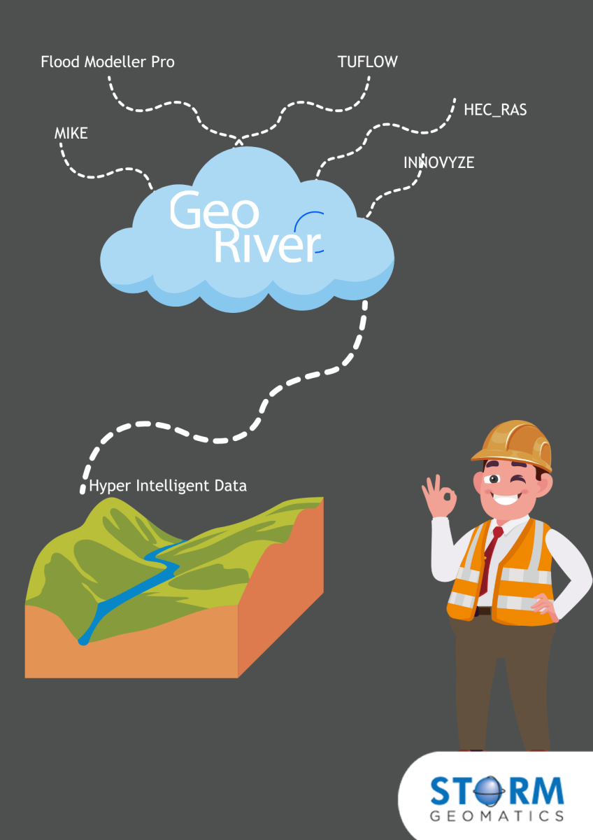
Problem 5: Limited Output of Survey Data
Solution: Storm provide quality outputs compatible with major hydraulic modelling packages, including Flood Modeller Pro, TUFLOW, HEC-RAS, MIKE, and Innovyze. Through GeoRiver software and bespoke deliverables. Breaking new ground in presentation of bathymetric data is an example of overcoming data output limitations.
Collaboration between surveyors and their clients is the key to overcoming the limitations of outdated “off the shelf” survey specifications. At Storm Geomatics we believe that due diligence at the quotation stage is not just an option – it’s essential. By engaging early and asking the right questions, Storm delivers hyper-intelligent data that maximises the value of every project. Put simply, understanding the specific needs of every project provides solutions that truly fit the purpose.

