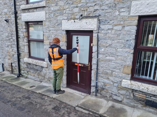
Topographical survey in Abingdon
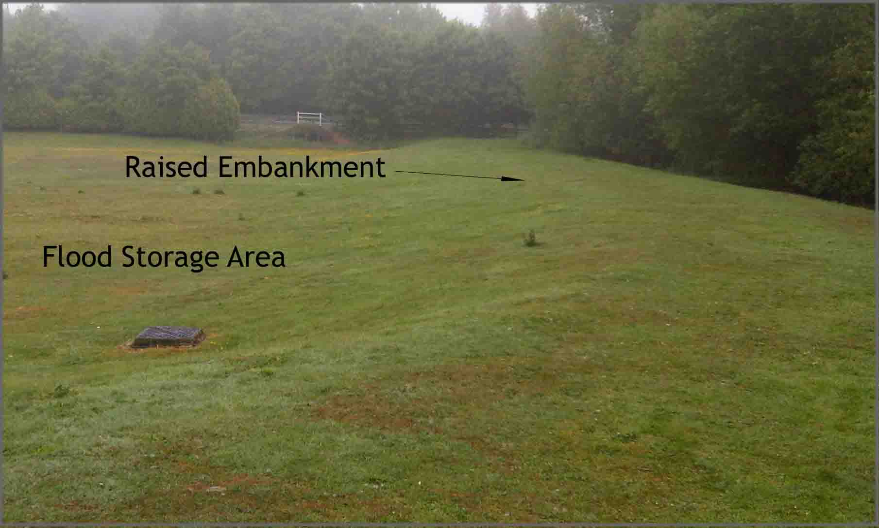
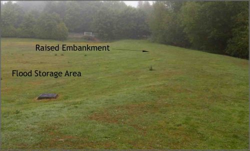
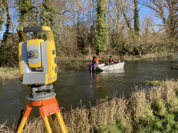
Surveyors embarked on a large topographical survey in Abingdon to identify the possible use of some open land for a flood storage area (FSA). FSAs are being considered and constructed in many areas local to flooding and are proving to be beneficial in high level events. FSAs are designed to hold water back from areas at risk of flooding at peak flow times, thus avoiding surges of water through towns and villages that can run through residential and commercial properties.
Storm Geomatics have carried out update surveys on various watercourses in the Swindon area as large scale development has altered the courses of rivers and their floodplains. Surveyors have integrated new data into existing models to ensure the system has the best possible information for predicting flood water extents.
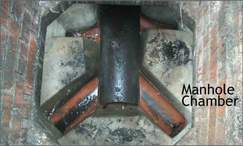
A survey team also carried out a storm water drainage survey across 50 manholes on a newly built housing estate in Ripon, North Yorkshire. All levels were captured so drainage engineers could assess the functionality of the network and highlight runs with potential problems.
Other News
2024: Storm Set for a New Era of Exceptional Survey Services
What was the “buzz” at Geobusiness 2023
