Thames Region of the Environment Agency
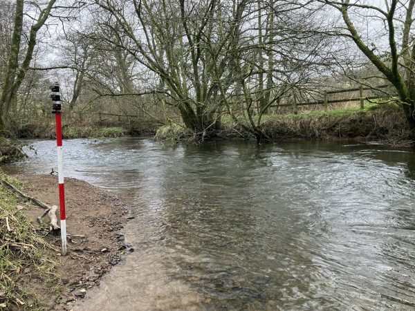
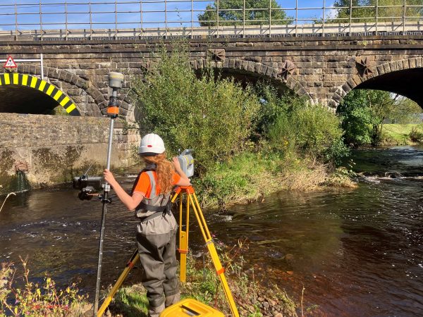
Storm Geomatics have been awarded a contract to survey 50km of watercourses for the Thames Region of the Environment Agency. The contract which is based on tributaries of the River Thames south-east of Lechlade, Oxon was won on a comeptitive tender basis. Surveyors surveyed and delivered approximately half of the project within six weeks of being awarded the contract.
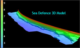
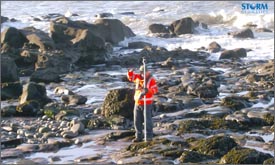
A survey team mobilised on the west coast of Cumbria at Whitehaven to survey 500m of sea defences. The survey was requested to provide base drawings for engineers to design revetment and sea wall refurbishment.
Twenty-two kilometers of river bank levels were surveyed on the Steeping River around Wainfleet in Lincolnshire. Levels were taken at 25m intervals on the crests of the earth banks which encompass the town. Data collected will be used to check the level of flood protection the banks are providing. Fortunately there was time at the end of the last site day to visit the Batemans brewery in Wainfleet and stock up on some “Rosey Nosey” for a well deserved Christmas break!!
Other News
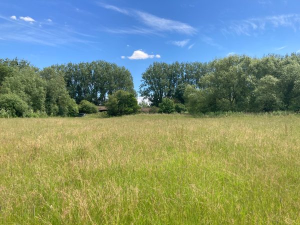
Midsummer Species Count Brings Diversity to the Meadow
Pioneering River Digital Twin® Innovation and Optimal Survey Season Insights
