Storm Geoswath Ahoy!

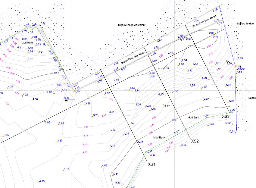
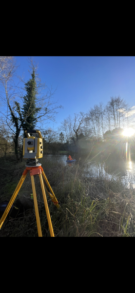
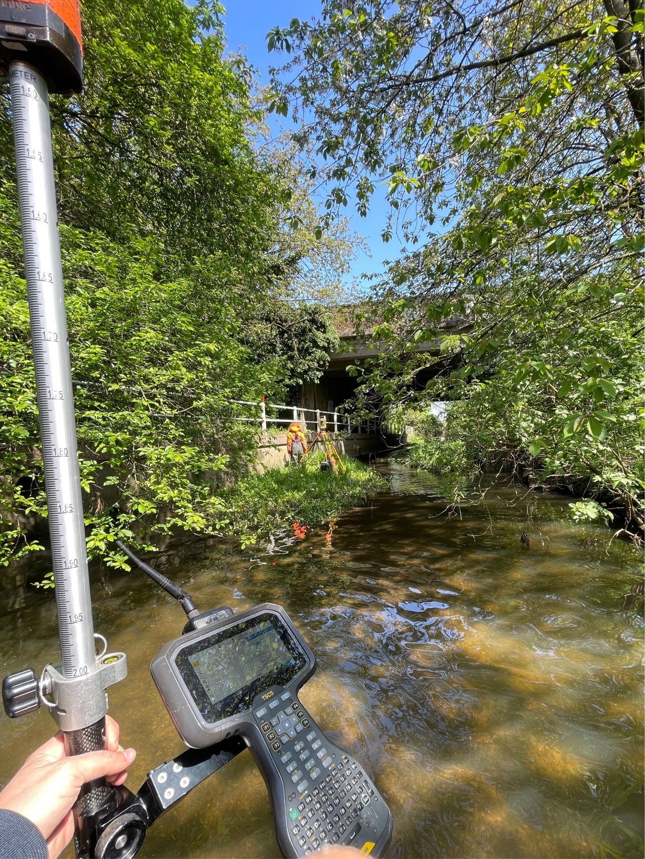
Our new boat Storm Geoswath launched on the River Irwell in Greater Manchester to find and measure a scour hole adjacent to the Victoria Station Railway Bridge. The scour hole has formed around the abutment of the bridge as a result of flows from the River Irk confluence. Access to the River Irwell is limited as it is in an urban canyon and the banks are predominantly vertical walls. Our survey team launched Storm GeoSwath 4.5km downstream at Salford Quays and made the journey up to the survey area. The survey was carried out using a combination of interferometric sonar and traditional total station. By using the two methods and cross referencing the information it was possible to create drawings to reveal the true geometry of the bed and abutment in the area. This information was then used by engineers to make well informed decisions on the risk of scour to the bridge and recommend a suitable remediation plan.
[nbsp]
Storm [&] JBA presented their innovative software GeoRiver at the Flood Modeller Pro conference in Mayfair, London. The conference was attended by 150 delegates connected to the hydraulic engineering profession. A presentation from Ben Gibson of JBA conveyed the benefits from a river modeller’s perspective, he demonstrated how the software quickly and accurately prepares data for use in Flood Modeller Pro, which predicts flood events using river geometry, rainfall predictions, surface roughness and flood plain topography. The reaction from delegates was hugely positive with comments like “this is disruptive technology”, “it’s a game changer” and “this is really affordable”. More feedback and information can be seen in Mike Hopkins LinkedIn post here.
[nbsp]
[nbsp]
Other News

What’s Driving Our Success in Surveys & Leadership?

Dry Spring, Fresh Momentum – April Survey Highlights


