Storm Geomatics’ Boldest Project Yet: To Transform Flood Risk Management
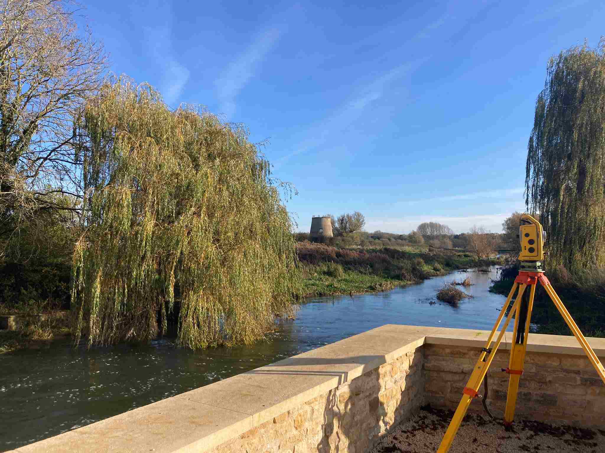
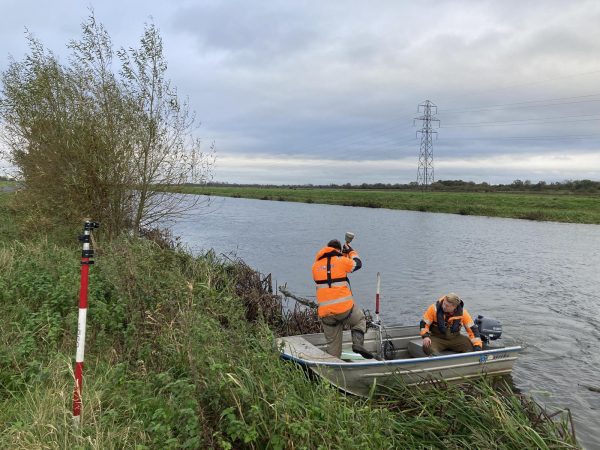
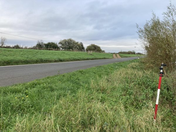
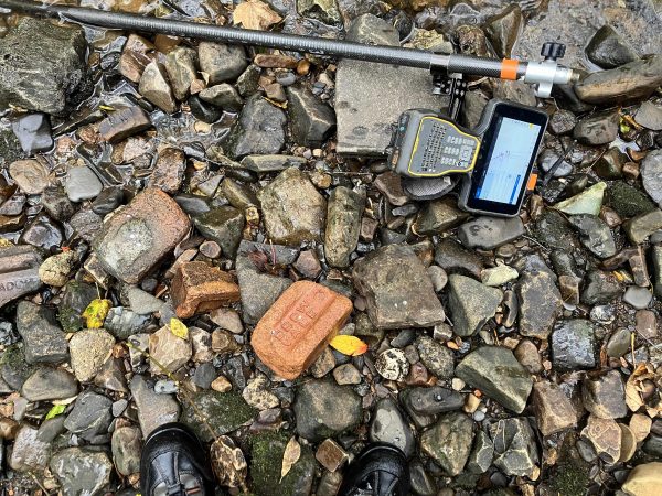
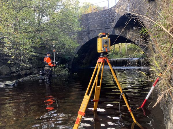
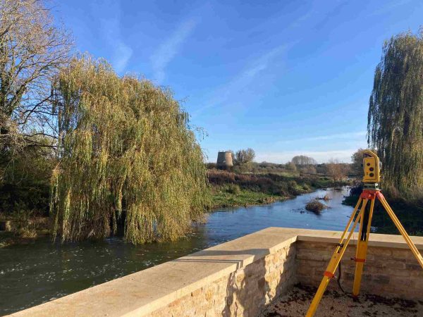
October marked a major milestone for Storm Geomatics as they embarked on their largest project to date. Tasked with surveying approximately 1,700 cross sections of the River Nene, the project spans 102 unique reaches, extending from Northampton to Peterborough. Essential assets like locks, sluices, and weirs are being surveyed to gather critical topographical and river channel data, which will support advanced hydraulic modelling for flood risk management. The precise geospatial data collected by Storm Geomatics’ expert team is pivotal in understanding flood risks and forming effective flood mitigation strategies.
At any point in time up to nine specialist geospatial surveyors will be tasked with collecting the data via a variety of surveying methods. Though initial progress was slowed by weather conditions, recent dry spells have allowed surveyors to accelerate their work, keeping safe. The project will continue throughout this winter season.
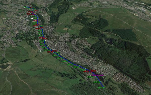
Meanwhile Surveyor Tom Isaac led a challenging channel survey project deep in the valleys of South Wales. The River Sirhowy is characterised by it’s short river response time & steep banks. Cross sections were requested throughout a 3km stretch of the reach through the heart of Tredegar.
To tackle these difficulties, Tom conducted an on-site analysis, assessing the area for potential obstacles and refining the deployment strategy. The project required coordination with multiple landowners for access permissions, as well as creative solutions to navigate the steep banks. A blend of manual measurements and LiDAR technology using an RPAS (Remotely Piloted Aircraft System) was employed, with manual techniques capturing accessible areas and LiDAR mapping softer detail in regions that were otherwise unreachable. The team scheduled deployment during a low-rainfall period to maximise data quality and project efficiency.
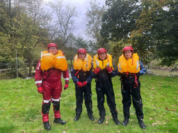
Storm prioritise safety as a corner-stone of their operations, this month saw both senior surveyors and trainees spend time under the tutelage of trusted suppliers Bristol Maritime to undertake the DEFRA Level 2 Water Safety Training. Senior Surveyor Laurence Washbrook and Matt Maddalena renewed their skills, whilst trainees Will Willing and Harry Sampson are now fully safety equipped and able to work on projects alongside more experience surveyors.
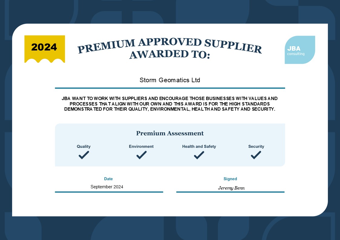
With a commitment to building a better business, Storm Geomatics have secured their pathway of growth and sustainable expansion through carbon accountability. Managing Director Mike Hopkins explains the approach in this short article. Sustainability is not a trend; it is the future. Businesses actually putting sustainable practices into place will rise to the top in their approach to offering clients a premium service. A recent acknowledgement of Storm Geomatics sustainable excellence came from JBA Consulting who awarded PREMIUM APPROVED SUPPLIER accreditation to Storm.
JBA’s audit team commended Storm, stating, “It’s only a very small number of suppliers who have attained this status. It’s a great achievement, and you should be very proud of your company.”
That’s it for this month folks, we shall be back next month with more exciting news….
Other News
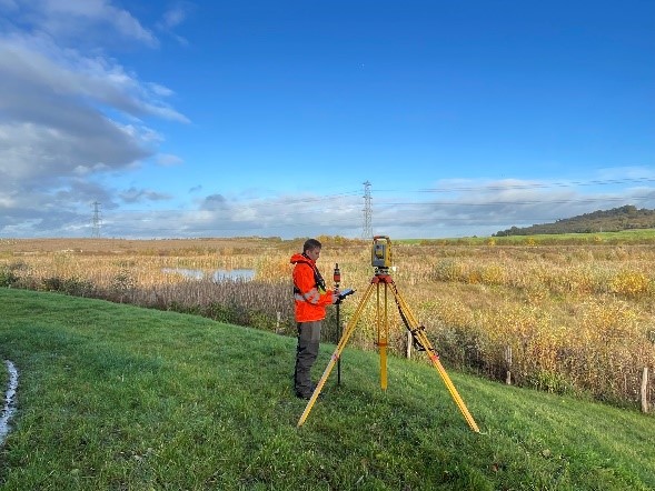
Annual Check by Storm Surveyors keep Flood Alleviation Scheme in Good Order
What was the “buzz” at Geobusiness 2023


