November 2022
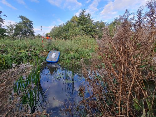
Storm’s collaboration with JBA Consulting took the team to Scotland to run site trials for the CivTech Accelerator challenge. The team are solving a problem for NatureScot, Scotland’s nature agency. Storm and JBA Consulting have teamed up to create technology that will detect beaver burrows and access the associated risk to the public and private asset interests. During the week Storm’s Technical Director filmed a daily Vlog of their progress. These can be watched by Linking with Anthony @anthonypritchard. The project caught the attention of BBC Scotland, our interview with them can be viewed – Sonar used to detect beaver burrows
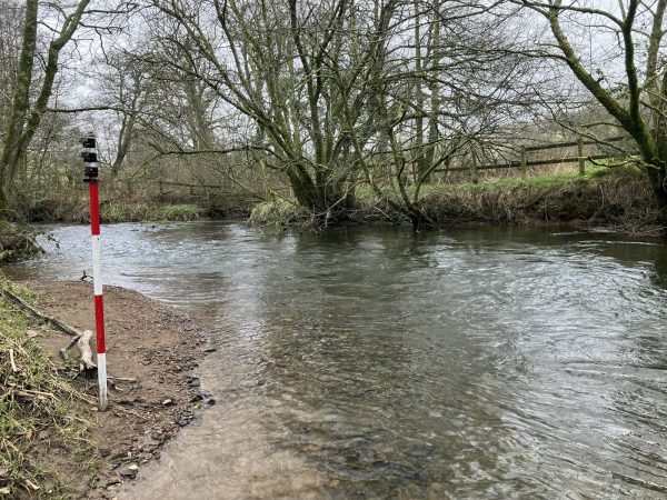
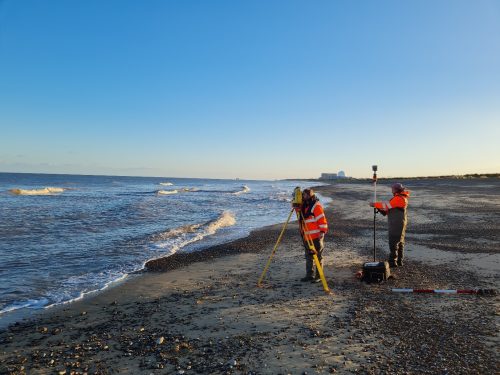
Senior Surveyor Tom Atkinson and his team have now completed the large Minsmere [&] Yox Model Update in East Anglia.[nbsp] The survey involved 19 different reaches, over 350 cross sections and spanned over 34000m of watercourse. The survey was undertaken to enable the Environment Agency to assess flood risk to the area, identifying the potential properties and communities at risk. Multiple teams from both Storm Geomatics head office and South East office were utilised to complete the survey. There were multiple challenges due to the scope of this survey and one of the main areas that needed more attention was surveying the River Minsmere within the RSPB Minsmere nature reserve. The data also goes through many Quality Assurance stages making sure that the final data sent to the client is to the stated specification and bespoke to the client. All work was completed to the latest Environment Agency specification (V5.0) with certain elements of the deliverables being bespoke to the needs of JBA Consulting Limited.
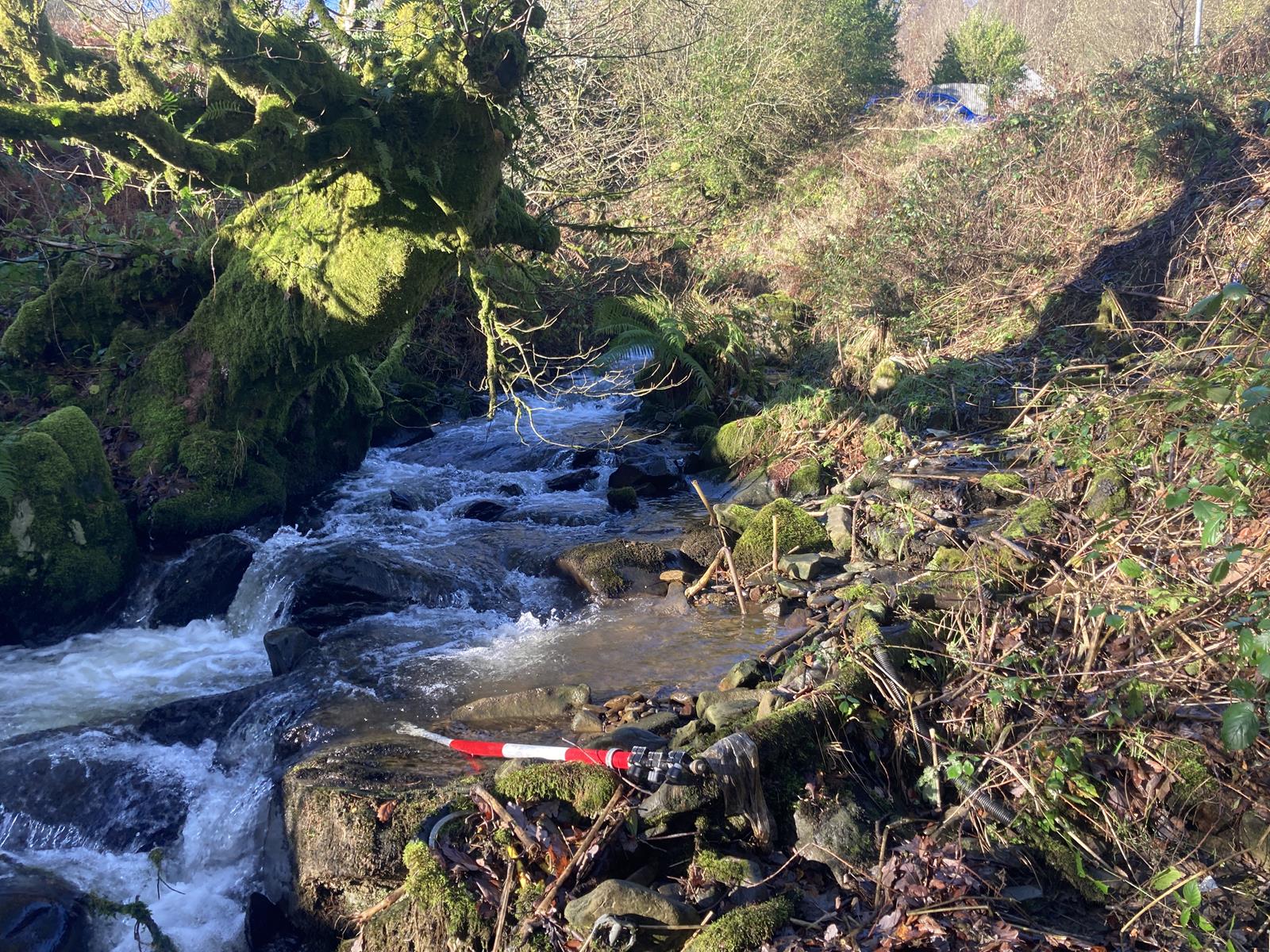
Another survey team ventured to Glyncorrwg, a small village just south of the Brecon Beacons, to carry out a 4 km long channel survey for National Resources Wales. The data collected will help advise authorities on the potential risk of a flood both in the village, and further downstream in the valley. [nbsp]
Since Glyncorrwg is at the top of a valley, it was close to the source of the river which meant it was flashy by nature- it rises and falls quickly resulting in a steep hydrograph shape. This, combined with the wet weather in November resulted in some difficult and unpredictable surveying conditions but by prioritising collecting in-channel data when it was dryer, the team prevailed. Another challenge faced was the potential lack of signal in the Welsh Valleys. However, this was not as big an issue as first anticipated, with the Trimble total station and the TSC7 controller pulling through![nbsp]
The steep gradient of the reach, the rocky bed and the high flow rates meant this job was slightly riskier than others. However, by preparing thorough risk assessments and assessing each challenge as it came, the job was able to be completed safely and without incident. [nbsp]
Examples of projects can be found on Storm’s website https://www.storm-geomatics.com/case-studies.html
All the wet and wild adventures from Storm can be viewed via our LinkedIn page @Storm Geomatics Limited and our other social media channels. Twitter @stormgeomatics Instagram @stormgeomatics1
Other News
London’s Underground Tunnels bring out the Rockstar’s of Geospatial Survey
Surveying Through the Seasons
