New Kit for Storm
March was an exciting month for the survey teams thanks to the arrival of the brand new Leica Survey Kits. [nbsp]All teams are now utilising the latest TS16 Total Stations and GS16 GNSS units to help further the accuracy and efficiency of survey data.
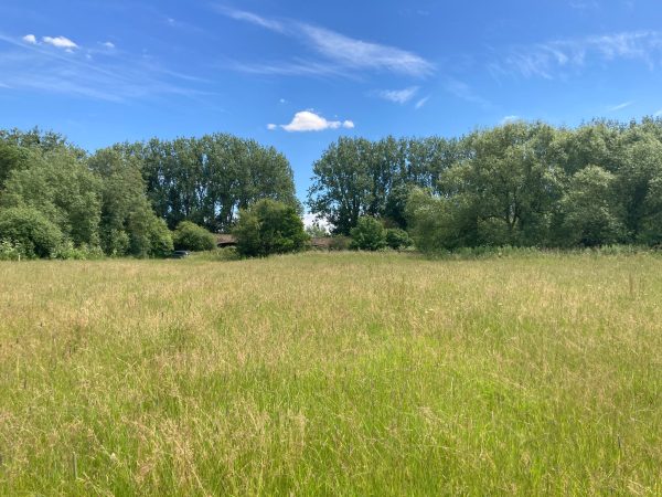
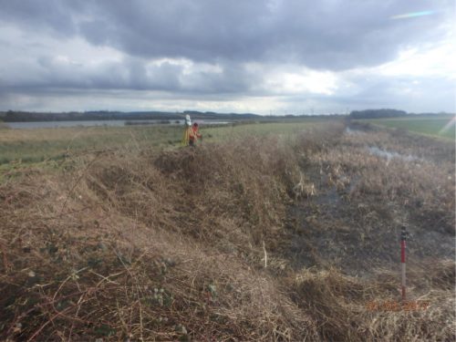
The new kit was put to the test against a 19km river channel survey, just south of the Humber Bridge in Lincolnshire. River surveys like this form the core of Storm Geomatics work and this job was particularly testing due to dense vegetation and the fact that one of the reaches went straight through the centre of an active quarry. [nbsp]However, through thoughtful planning and a thorough site induction, the team were able to utilise the new kit safely and efficiently. [nbsp]The results spoke for themselves as we received the following feedback:
How satisfied were you with the timescale of the deliverables? – 10/10
How well have our deliverables aligned with your expectations? – 10/10
How strongly would you recommend our services to your colleagues? – 10/10
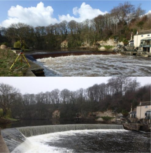
Later in the month, survey teams headed north to Tadcaster to complete two topographic weir surveys. [nbsp]Once again, the unpredictable nature of rivers proved challenging![nbsp] The water levels had risen significantly overnight making the conditions dangerous. [nbsp]The lead surveyor was forced to postpone the survey until the water had dropped to a safe level. [nbsp]Whilst Storm Geomatics strive to meet client’s deadlines, health and safety is always a number one priority when working in hazardous environments. [nbsp]However they were able to survey the out of bank areas, so the trip was certainly not wasted.
The team returned the following week and the river was unrecognisable compared to the previous visit. [nbsp]This time, the RYA trained team was able to safely survey the weir from one of the specialist ‘unsinkable’ survey boats.
Other News

From Dee to Data: Storm Delivers Dynamic River Data
Stormin’ Fun in the Sun
