From Dee to Data: Storm Delivers Dynamic River Data
With survey teams deployed from North Wales across to East Anglia, March brought some exceptional survey projects to surveyors at Storm Geomatics.
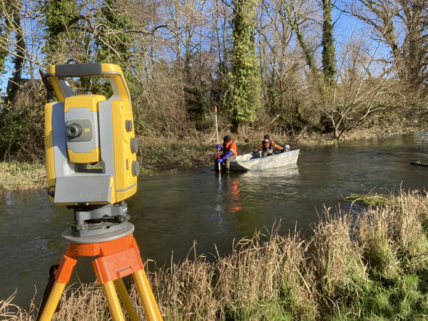
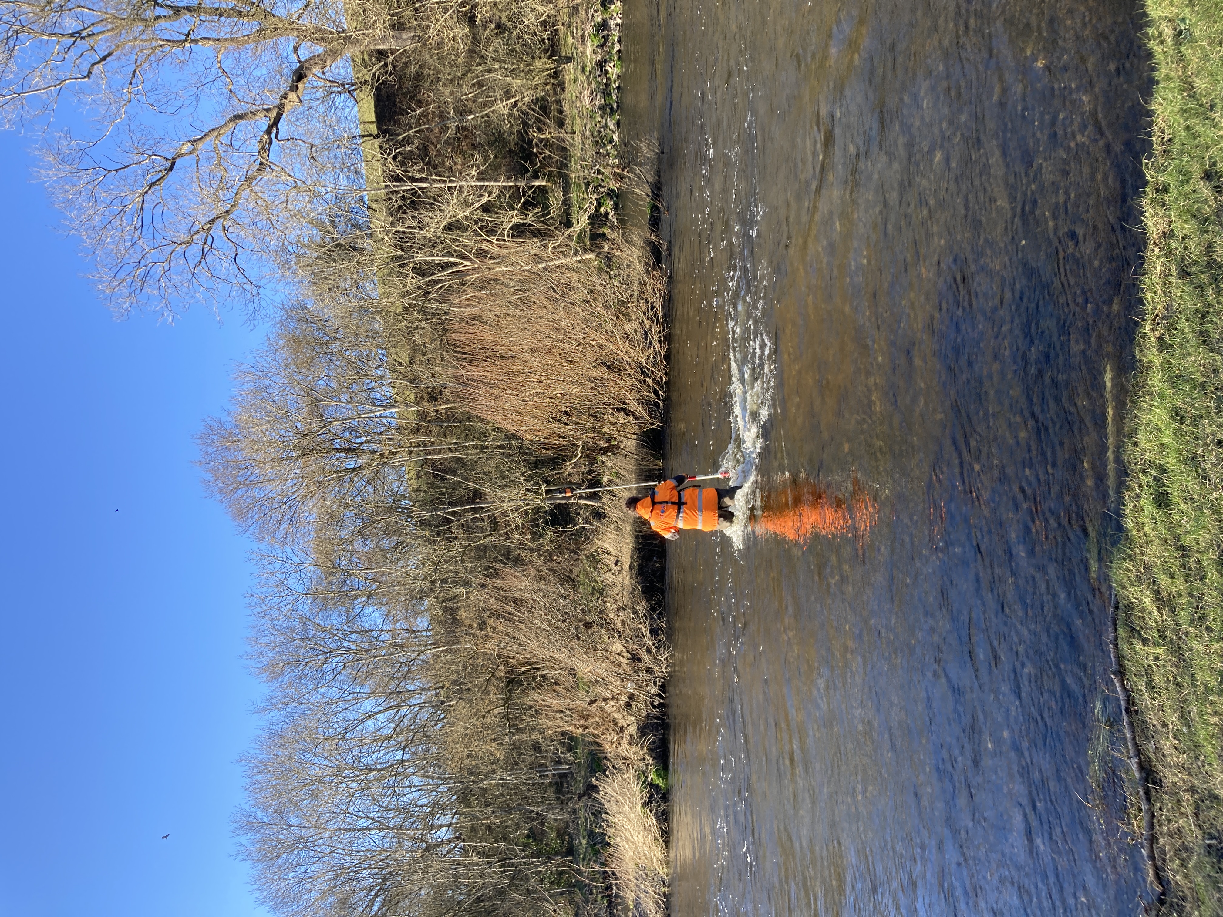
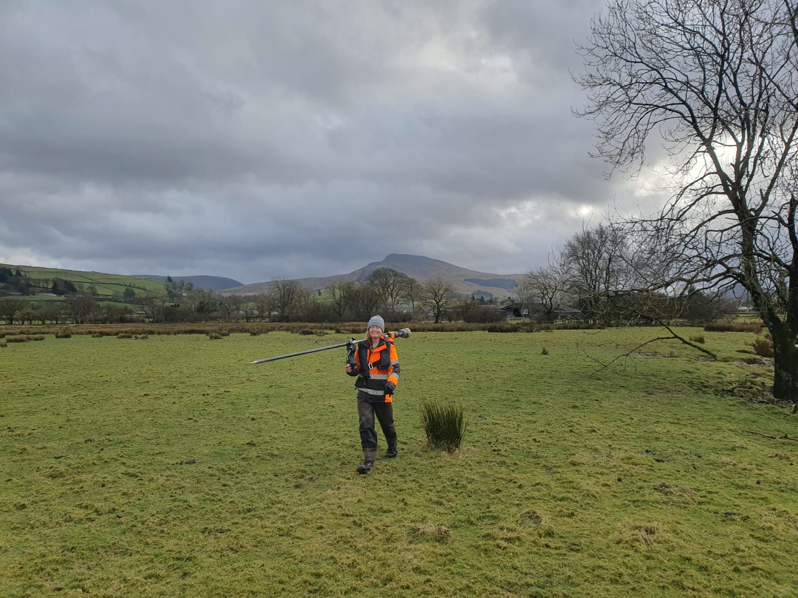
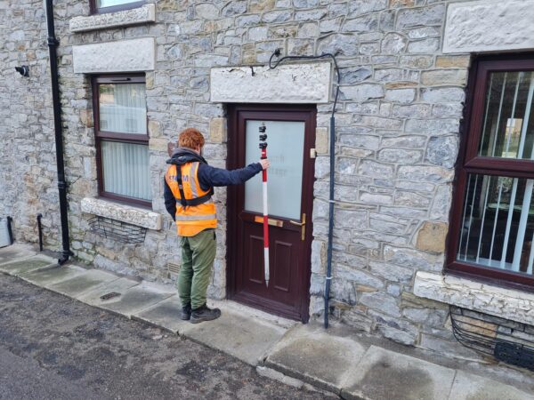
Surveyor Caitlin Tonge, led a project commissioned by Natural Resources Wales to assist in the design of a hydraulic model aimed at enhancing understanding of flood risk in the Dee catchment. The datasets will be used to verify existing survey records and address current data gaps.
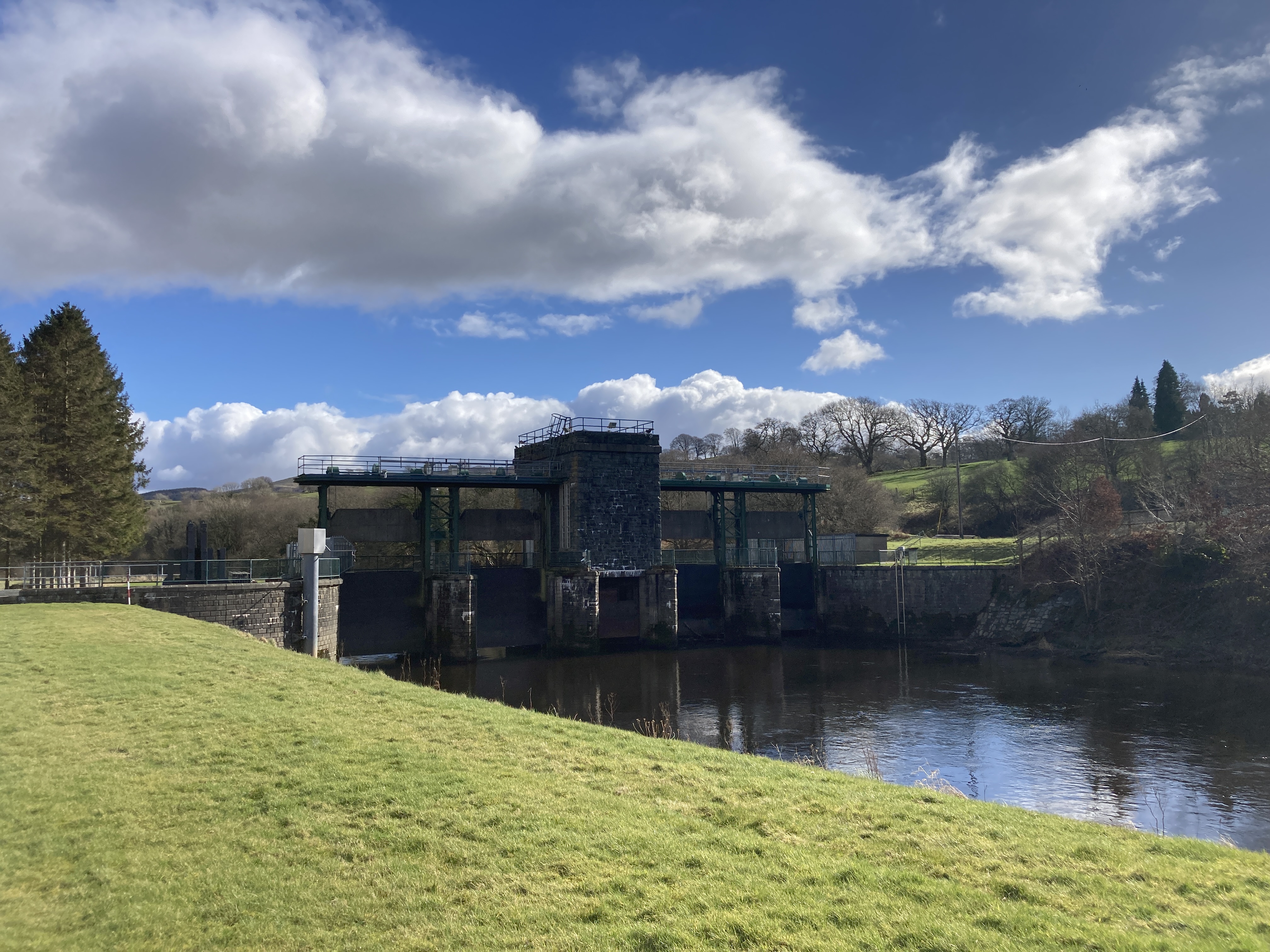
The River Dee is a heavily managed river, with key assets requiring careful surveying. A significant structure in this process was the six-gate sluice at Bala, constructed in the early 1950s. This crucial piece of engineering mitigates flooding while also storing water for controlled release to sustain downstream water supply.
Surveying such a critical structure presented challenges, particularly due to the automatic release of water and frequent flow changes in the river. To ensure safety and data accuracy, we maintained constant communication with NRW and integrated them into our planning process. A key example of this collaboration was having an NRW representative manually operate the sluice gates as Storm conducted surveys beneath them, allowing us to complete the work safely and effectively.
The new hydraulic model, informed by comprehensive and verified data, will be vital to assess and manage flood risks in the Dee catchment.
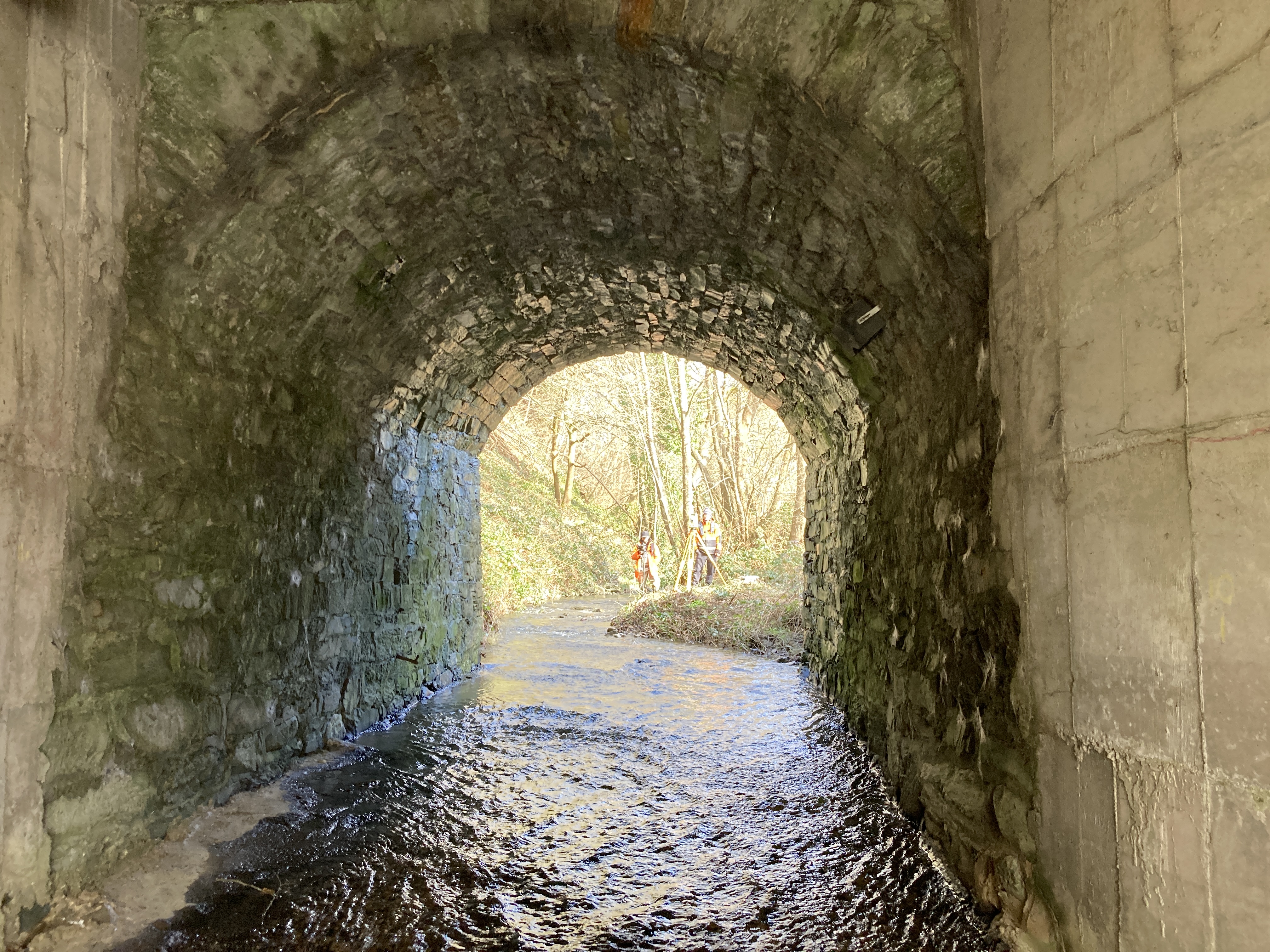
Meanwhile another survey team undertook a project Margam Park, South Wales to support updated flood mapping linked to the installation of a new electric furnace in Port Talbot. The survey combined multiple techniques — using RPAS LiDAR, 2D orthophotography, manual cross sections, and a bathymetric survey of the first pond.
The LiDAR survey targeted the pond and surrounding land, capturing high-resolution elevation data even through areas of dense vegetation using oblique capture techniques. This was complemented by cross sections taken along the channel both upstream and downstream of the pond, each extended 50 metres beyond the banks to enhance the accuracy of overland flood modelling. Although the channel itself was relatively short (~1km) , it featured multiple structures—including a weir, a waterfall, several footbridges, and a small railway bridge.
The bathymetric survey provided detailed depth information for the pond and was used to carry out a volumetric calculation of both water volume and silt deposits. This data was then converted into a point cloud and merged with the LiDAR dataset, allowing the surveyors to produce a complete 3D representation of the area of interest—from the surface terrain down to the pond bed. The result was a comprehensive, high-resolution dataset that SLR can use to support robust hydraulic modelling and long-term flood risk planning.
Two new trainee surveyors were welcomed to Storm, both Charlie and Owain are progressing well, after their onboarding induction and DEFRA Module 2 (Water & Flood First Responder) training. Keep an eye out for their progress over the coming months as they become involved in projects.
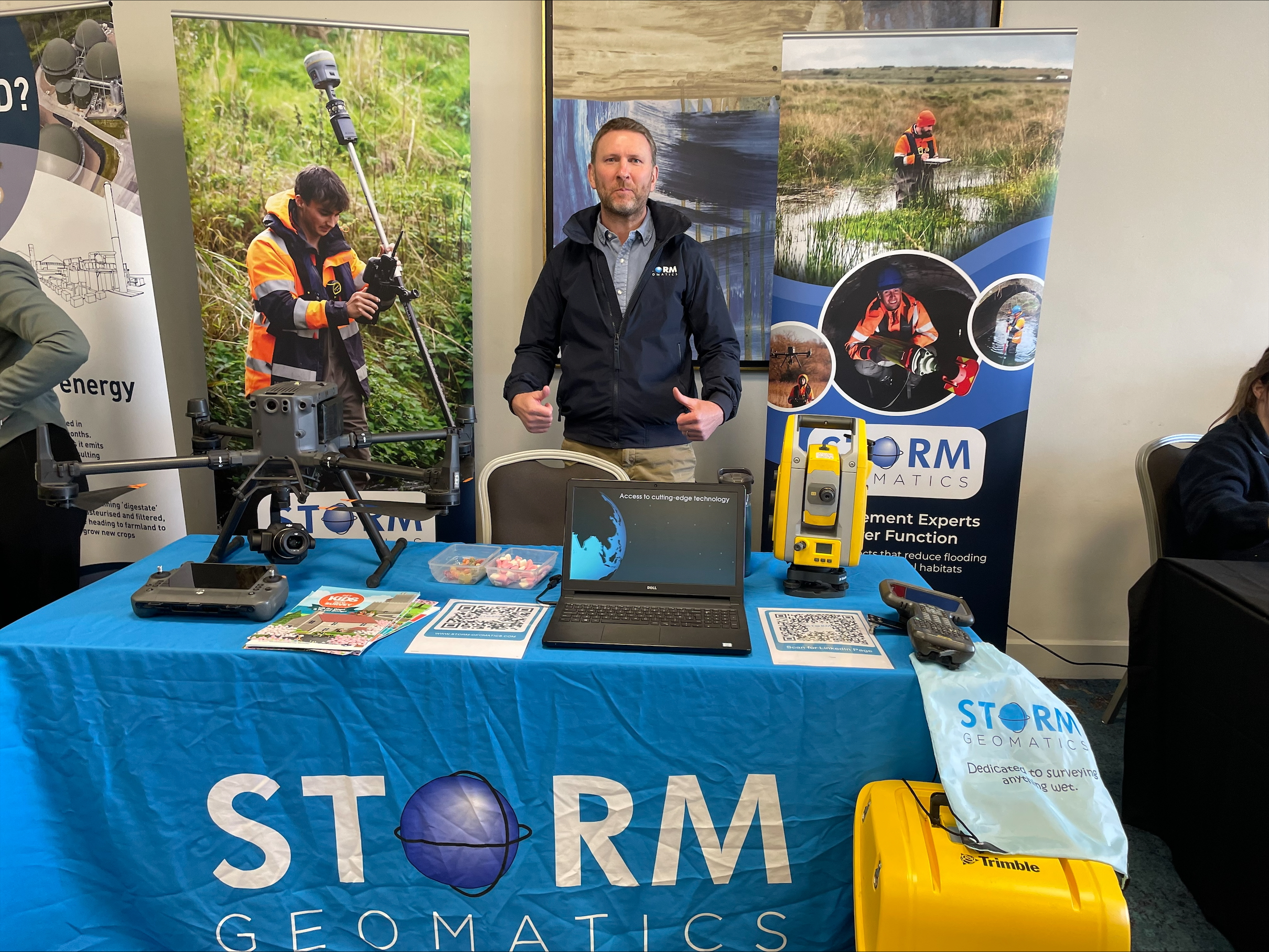
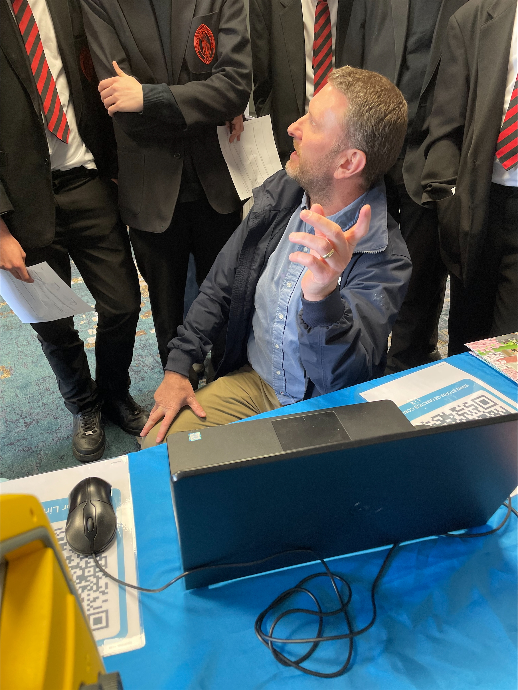
Storm attended two more local careers fairs at Southam School and a combined STEM event in Stratford-upon-Avon. These events are vital for Storm to meet potential candidates for surveying roles. The local talent is very capable and without Storm’s proactive approach school pupil’s are all too often unaware of the diverse career prospects the role of a geospatial surveyor can offer them. Storm welcome any schools to get in touch and discuss how to enlighten their students about careers in the vital geospatial sector.
As always our social media channels are buzzing with innovations and adventures, please do follow us.
Other News
What was the “buzz” at Geobusiness 2023
Winter Storms Create Post-Flood Level Surveys