Yorkshire Lakes Undergo Volumetric Calculations
The Background
- Date
- July 2023
- Client
- JBA Consulting
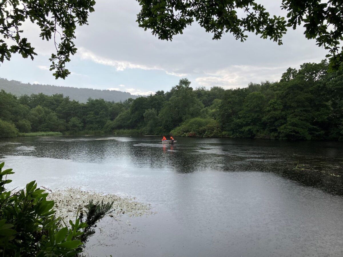
In July 2023, a bathymetric survey was instructed by JBA consultancy working on behalf of Forestry England. Four Lakes situated within the North York Moors National Park and three within Dalby Forest, required a 5m grid survey of the bed and silt levels of each lake, along with banks, outflows, structures and 10m level information of the surrounding area.
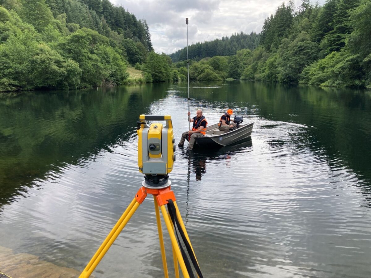
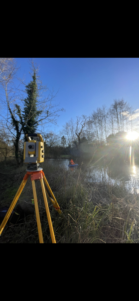
A three-man team was deployed from the South-west office with a Trimble S5 total station, R12i receiver and TSC7 controller.
The Challenge
Accessing these areas would be the first issue. In order to capture the level information on the bed of the lake, a Sea Strike Survey vessel would be required, and vehicular access was needed to within 50m of the water, which was coordinated with Forestry England.
All the lakes were heavily wooded around the fringes, which combined with overhanging branches, reed beds and dense vegetation presented an access challenge for measuring these areas. Vegetated portions of the bank could be reached where possible on foot or with our survey vessel. Overhanging branches and reeds beds meant that the survey vessel couldn’t access some areas from the water, so fighting through the undergrowth was needed where possible!
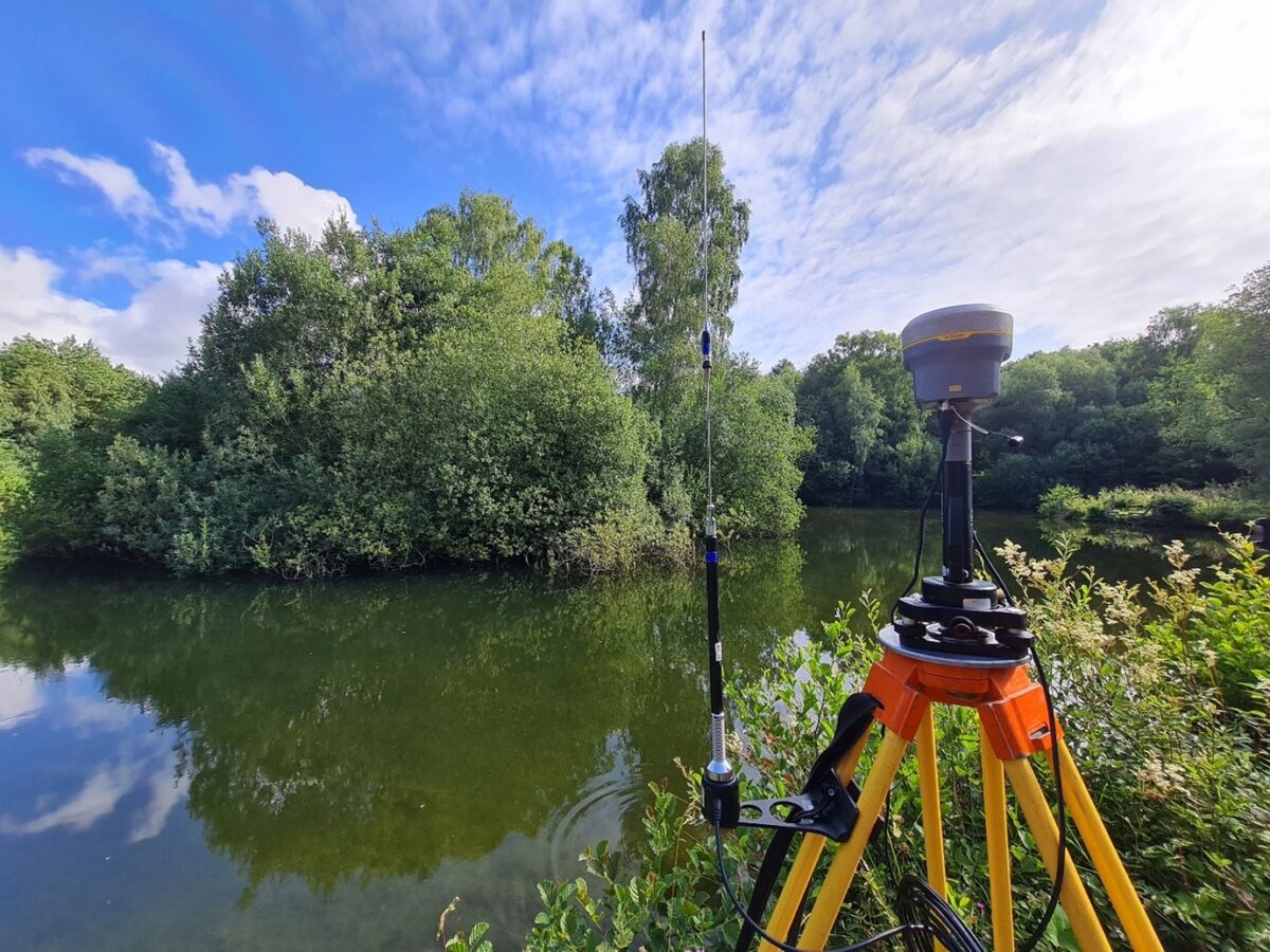
Due to the location of the lakes and the heavily wooded makeup of the area, phone and GNSS signal was unreliable, so some forward planning was required in order to ensure that the control used was fit for purpose. This included setting temporary control points around the area when GNSS was available and use of a Base station. Highlighting the importance pre project site walk to assess all hazards, areas where GNSS would likely not be available and current condition of the site.
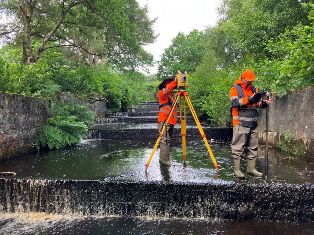
The survey extent also included a number of outflow structures that required measuring. One of which was a large, stepped outflow. Caution was needed despite the relatively shallow and slow flow of the water, so employment of the principles of ‘Safety First – Data Later’ was required. Measurements were taken via the reflectorless function where possible to avoid some of the steep retaining walls.
The Results
Despite the challenges presented by project the site works were completed within the timeframe allocated and office processing could begin on schedule.
Surveying in a remote location had its challenges, but overcome through planning, foresight and using the right equipment.
”
Recent News

From Dee to Data: Storm Delivers Dynamic River Data
What’s Driving Our Success in Surveys & Leadership?
