Tackling Spring Vegetation for Flood Risk Data
The Background
- Date
- April 2024
- Client
- Environment Agency
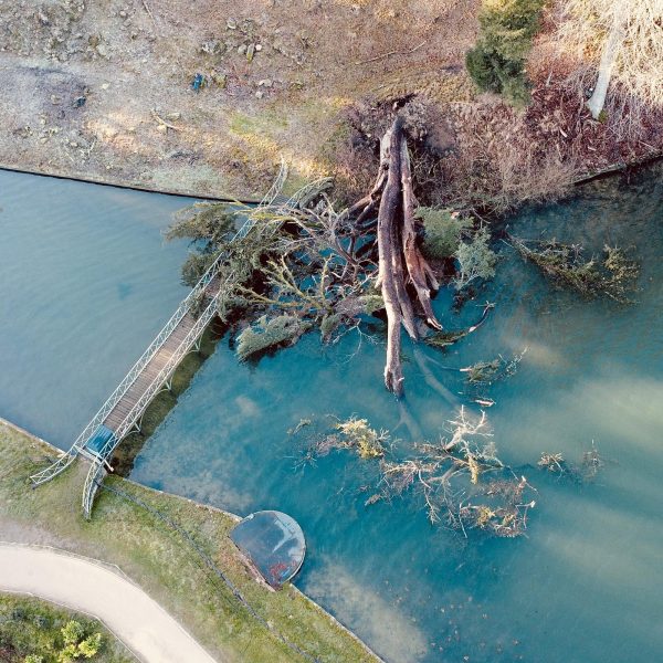
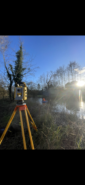
Storm surveyors put to use their safety training and experience whilst undertaking a complex project of cross section surveys on four separate reaches within the Duffield area of Derbyshire. Each one presenting its own challenge. Like so many of Storm’s projects the data will be used for modelling flood risk.
Lead Surveyor James Mayer effectively planned out each day, arranging the access that was needed for each site in good time, ensuring efficient workflows.
The Challenge
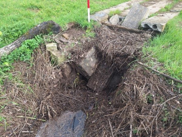
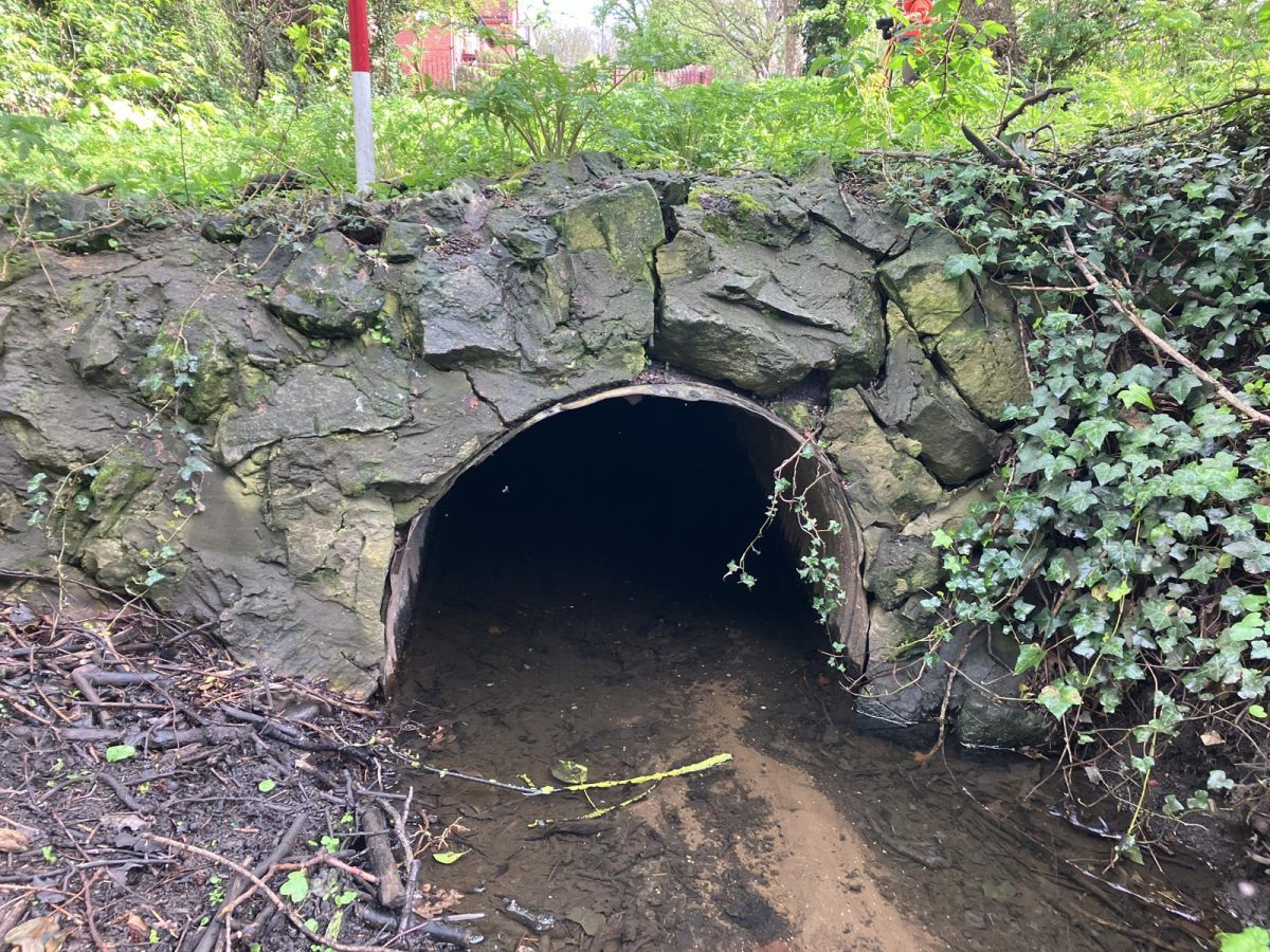
Some of the structures proved quite difficult to survey due to either being blocked by dense vegetation; often an issue at this time of year; or because they had collapsed. With dilapidated structures, such as the one shown in figure 1, it is especially important to pick up as much information on site as possible to ensure smooth data processing.
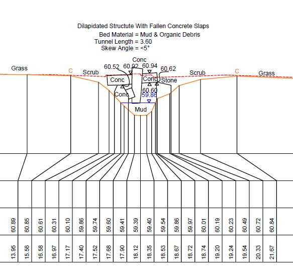
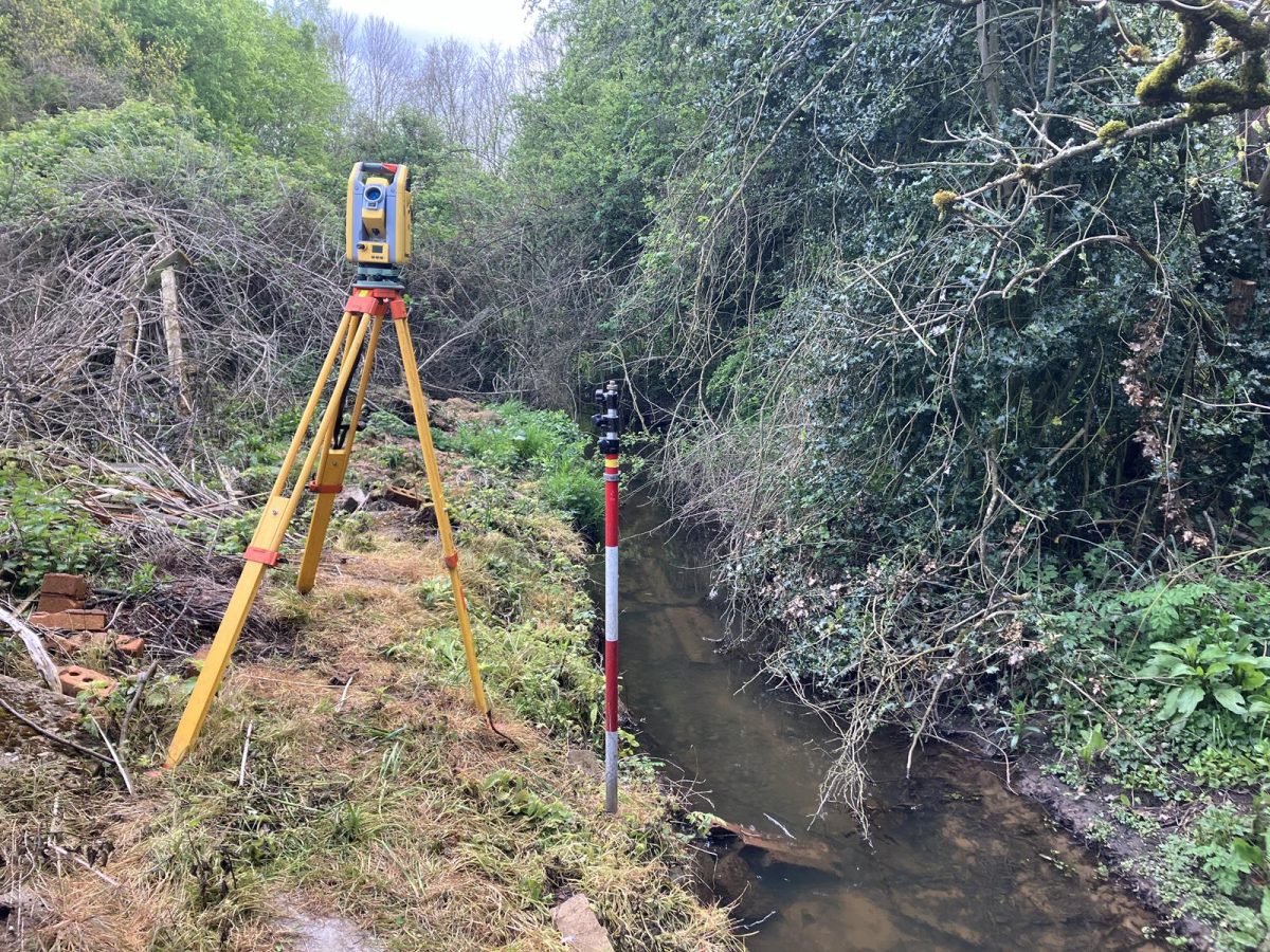
By using a laser and careful positioning of the survey pole our experienced surveyors were able to accurately convey the structure opening (figure 2).
More Challenges
Another challenge faced by the surveyors was collecting data on the Chesterfield Canal as this time of year, the waterway can get congested with traffic.
Therefore, in order to carry out work safely, signs were put up at specific intervals up and downstream to warn boats that work was being carried out. This was arranged with the Canal and Rivers Trust well in advance of site deployment and is a prime example of how efficient planning from our survey managers help a project run smoothly to meet deadlines and keep to budget.
The Results
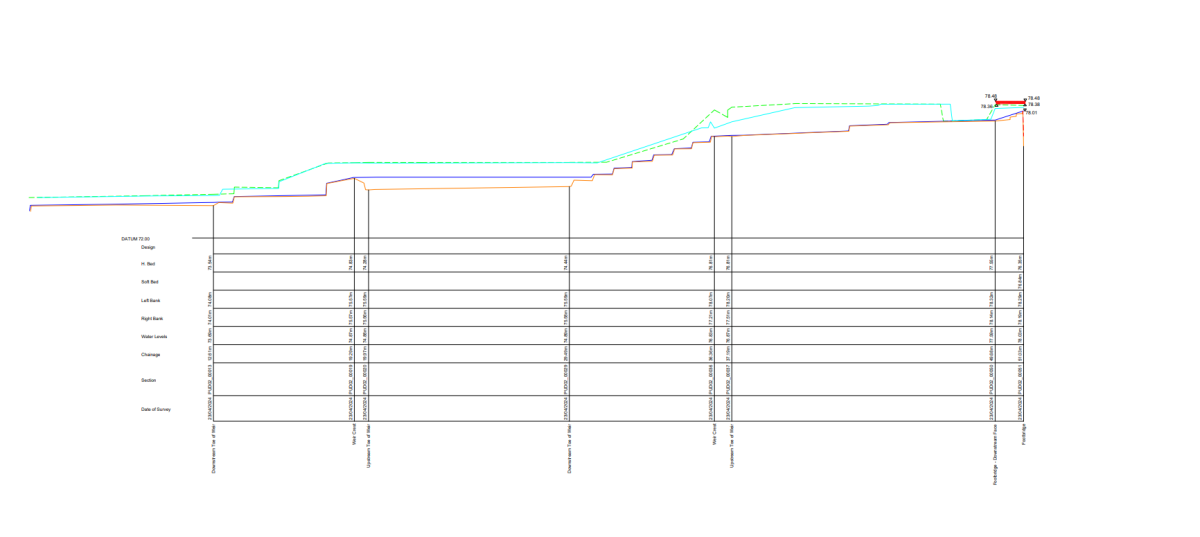
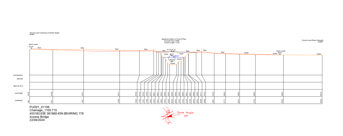
The team supplied deliverables as cross and long section data of all the reaches, flood defence string data and detailed photographs, all formatted in the correct file formats requested by the client. A long section drawing showing a series of weirs in 2D can be seen below. Along with a cross section drawing of a culvert flow through an access bridge.
Recent News

From Dee to Data: Storm Delivers Dynamic River Data
What’s Driving Our Success in Surveys & Leadership?
