Storm Overcome Urban Survey Safety Challenges
The Background
- Date
- June 2024
- Client
- JBA Consulting
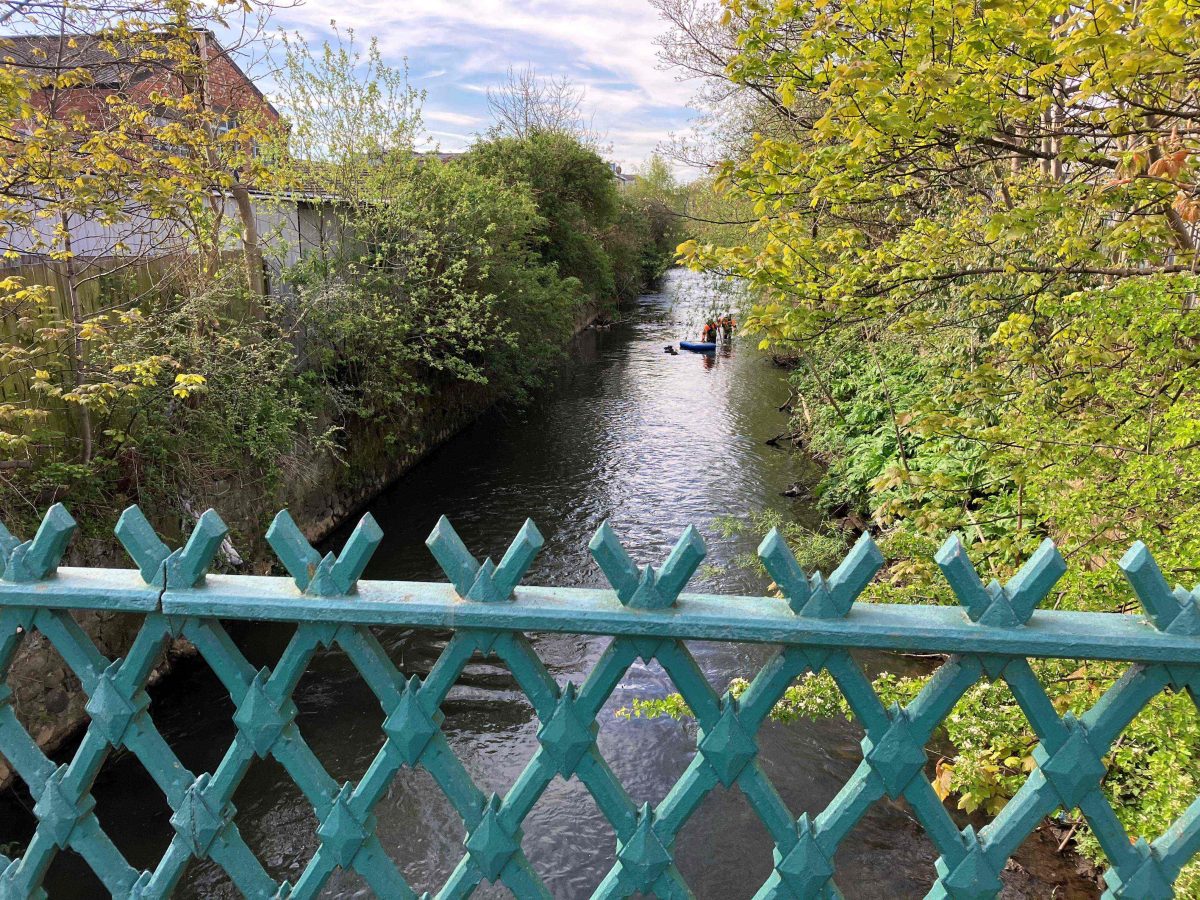
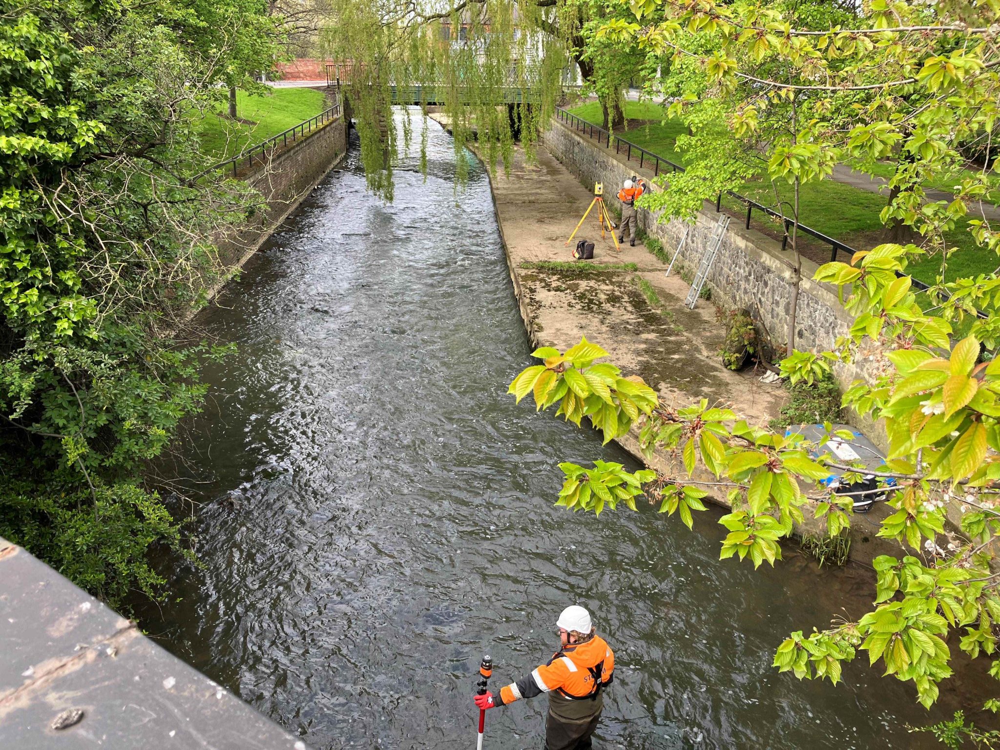
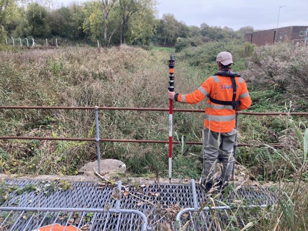
The River Skerne in Darlington required a comprehensive survey to produce an updated flood model for the area. This urban river presented significant access difficulties, with limited ingress and egress routes and steep vertical walls complicating survey processes.
A previous survey company encountered numerous obstacles due to the River Skerne’s demanding urban setting. Faced with steep walls and restricted access points, they quickly realised their team lacked the necessary water safety training and skills to conduct a thorough survey. Storm Geomatics was then enlisted to complete the remaining survey.
The Challenge
Project lead and Senior Surveyor Laurence Washbrook assessed the site on the first day, identifying various health and safety concerns, including:
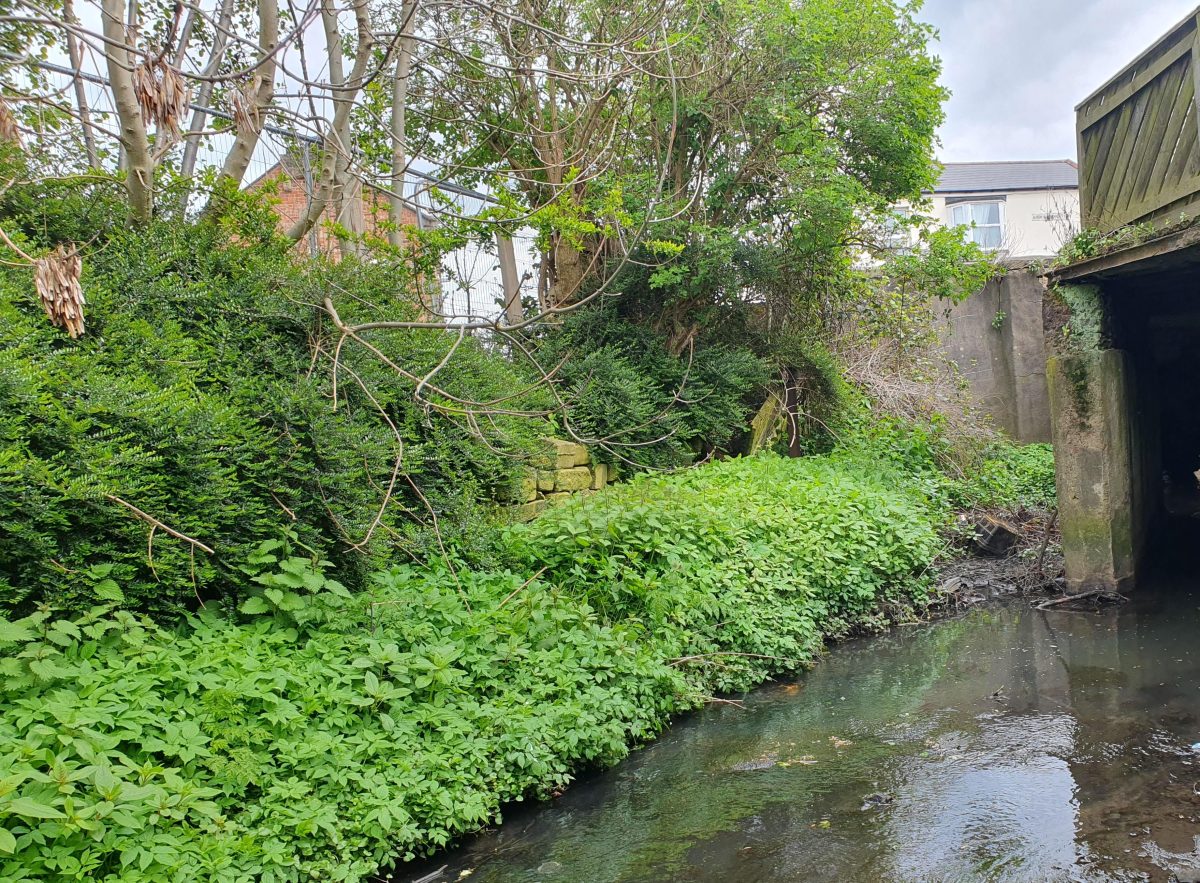
- Substantial amounts of urban debris within the channel.
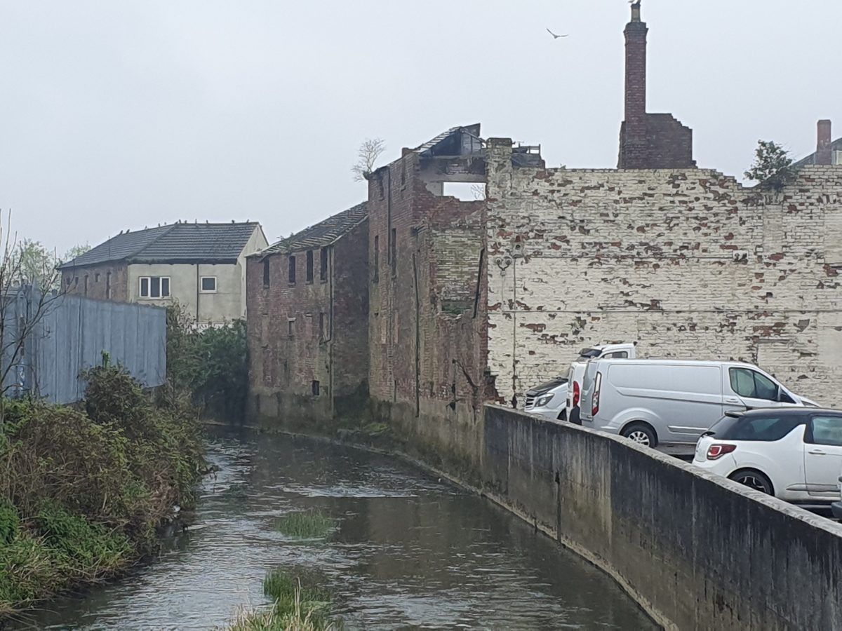
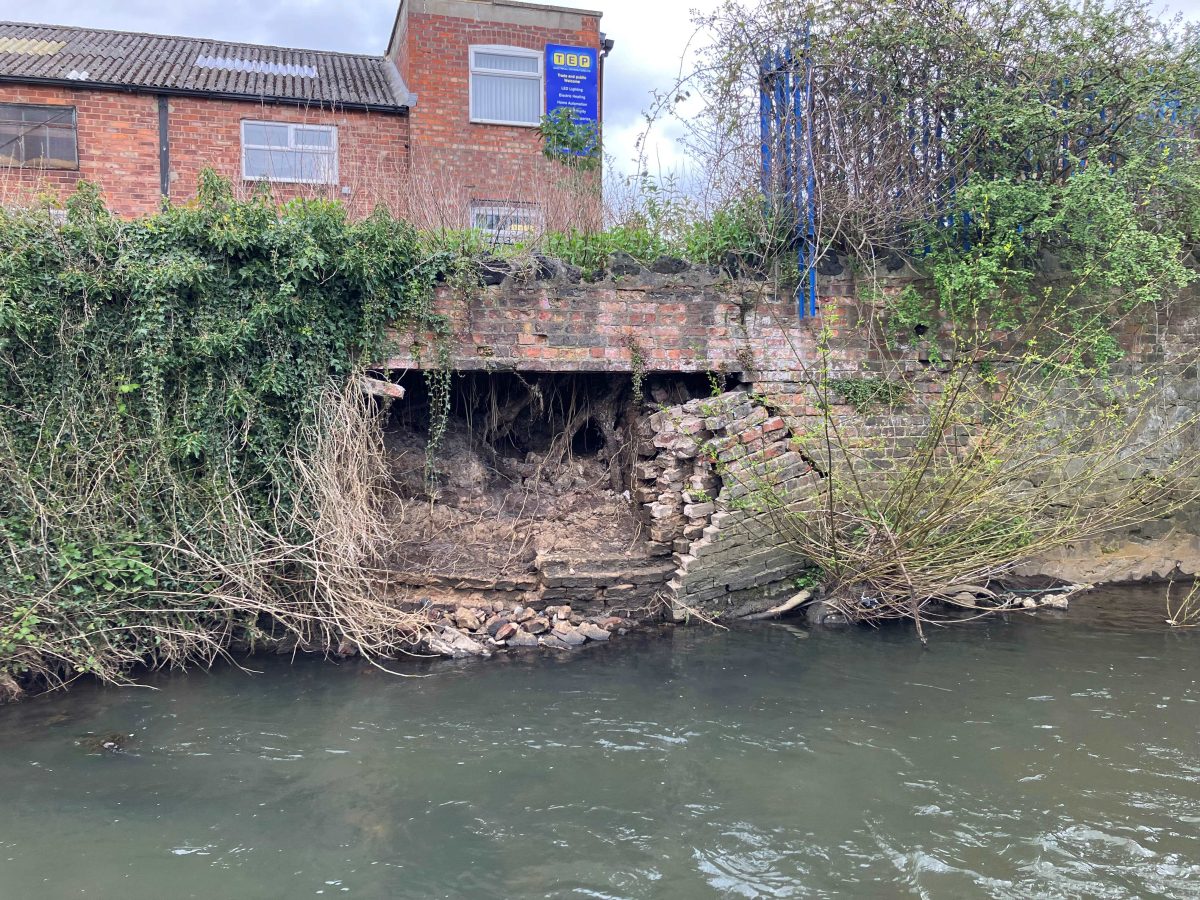
- Deteriorating retaining walls and buildings along the riverbanks, creating unsafe conditions.
Storm Geomatics deployed a team trained to survey in the riverine environment to tackle these challenges safely. Their approach was of stringent set of safety measures:
1.A three-person team, including a banksman, ensured continuous line-of-sight supervision and readiness to implement a rescue action plan if necessary.
2. Utilisation of the Trimble R12i, with its advanced tilt functionality, allowed data collection directly from within the channel, eliminating the need for setting up equipment in hazardous areas.
3. Comprehensive DEFRA water safety training was employed, ensuring proper wading techniques and the use of rescue boards.
4. Strategic use of ladders and training in working at heights enabled safe access to the channel where conventional entry points were non-existent.
Laurence ensured transparent communication with the client about potential risks which led to the expansion of out-of-bounds areas to include unsafe neighbouring buildings.
Implementation of the “Check, Clean, Dry” procedure ensured all PPE was thoroughly cleaned before moving between the site and local facilities, preventing the spread of invasive species identified in the channel, such as Signal Crayfish, Giant Hogweed, Himalayan Balsam, and Japanese Knotweed. All identified in the survey area.
Every survey project Storm Geomatics undertake abides by the Sustainability Health Environment Wellbeing (SHEW) code of practice implemented by the Environment Agency. This is paramount to the safety of Storm surveyors and to the protection of the environment in which the survey takes place.
The Result
The project was completed with no accidents, yielding high-quality data that met the client’s needs. The successful execution of this survey under challenging conditions demonstrated the expertise and preparedness of Storm Geomatics.
The client was highly satisfied with the results, demonstrating the project’s success in balancing comprehensive data collection with stringent safety protocols. The flood model can now be developed to aid in the prevention of residents and business’s being affected by heavy rainfall events.
”
Recent News
Storm Claudia vs Storm Geomatics: When Nature Tests
Surveying Through the Seasons
