RiverEye goes North on Beaver Patrol
The Background
- Date
- January 2024
- Client
- NatureScot
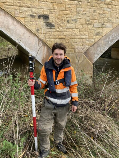
In February Storm’s specialist survey team completed their fourth visit to Scotland to carry out further investigation surveys for the RiverEye project. Storm are working in partnership with JBA Consulting.
What had originally started as part of the Scottish Government CivTech innovation programme with NatureScot concerning Beaver burrows, has now developed into a commercial solution for detection, analysis and risk assessment of assets and infrastructure.
On this occasion a remotely piloted aircraft system (RPAS) surveyor was part of the team to explore options of beaver habitat using their piloting skills with photogrammetry and LiDAR.
The Challenge
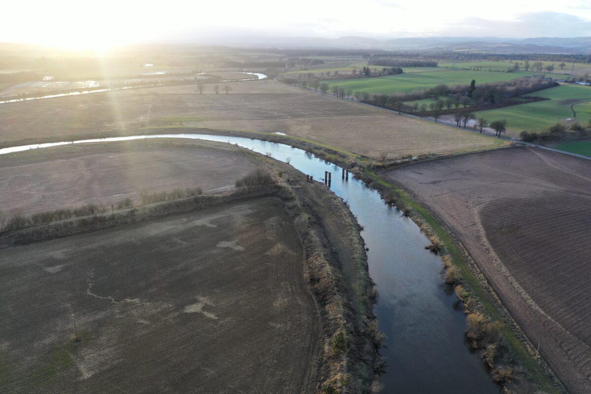
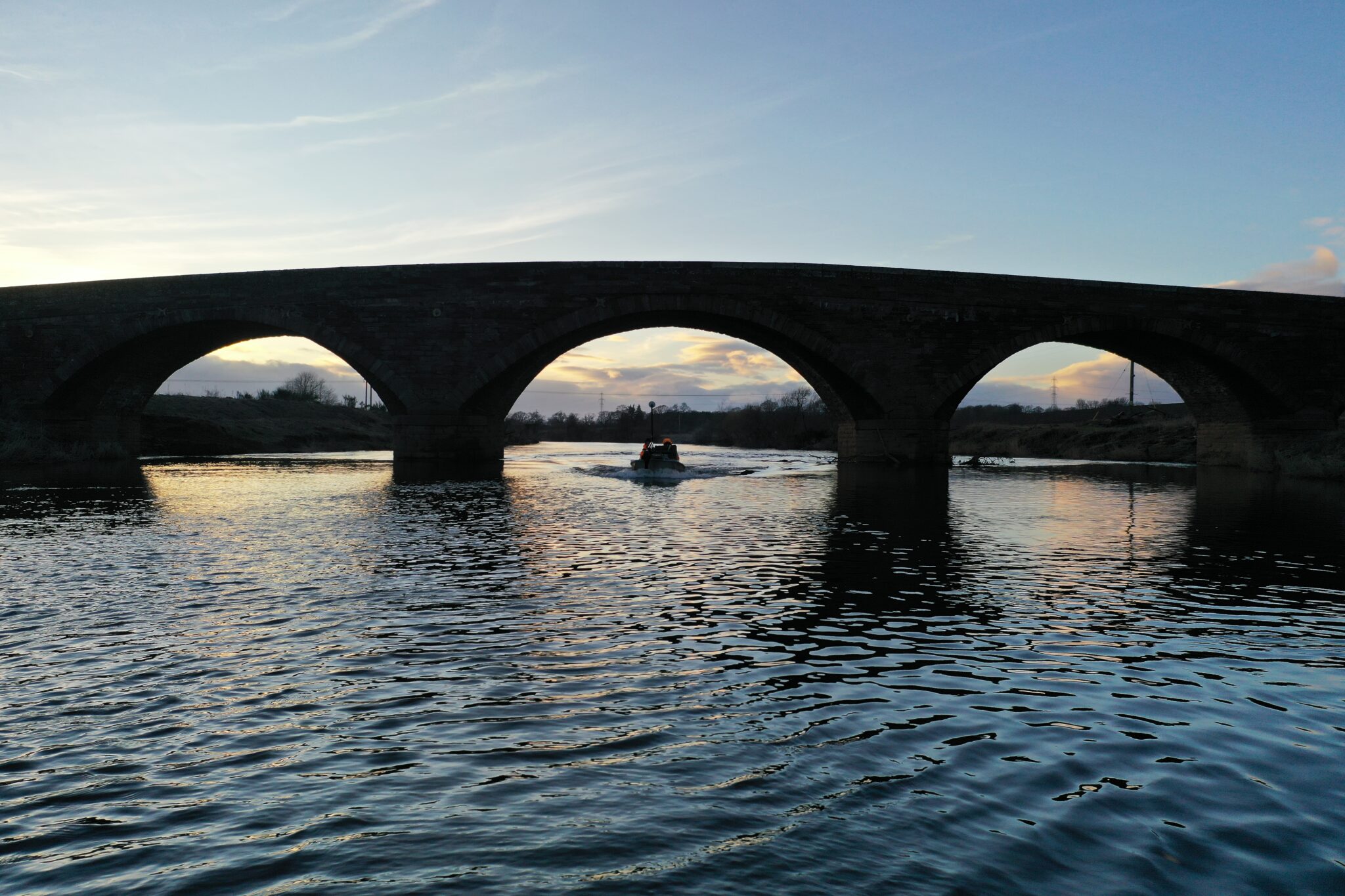
The surveyors completed a 12km survey above and below water on the River Ericht and River Isla.
To locate Beaver burrows beneath the water line and also understand how above water photogrammetry and LiDAR could enhance the deliverables and provide a point in time survey of the Beaver habitat.
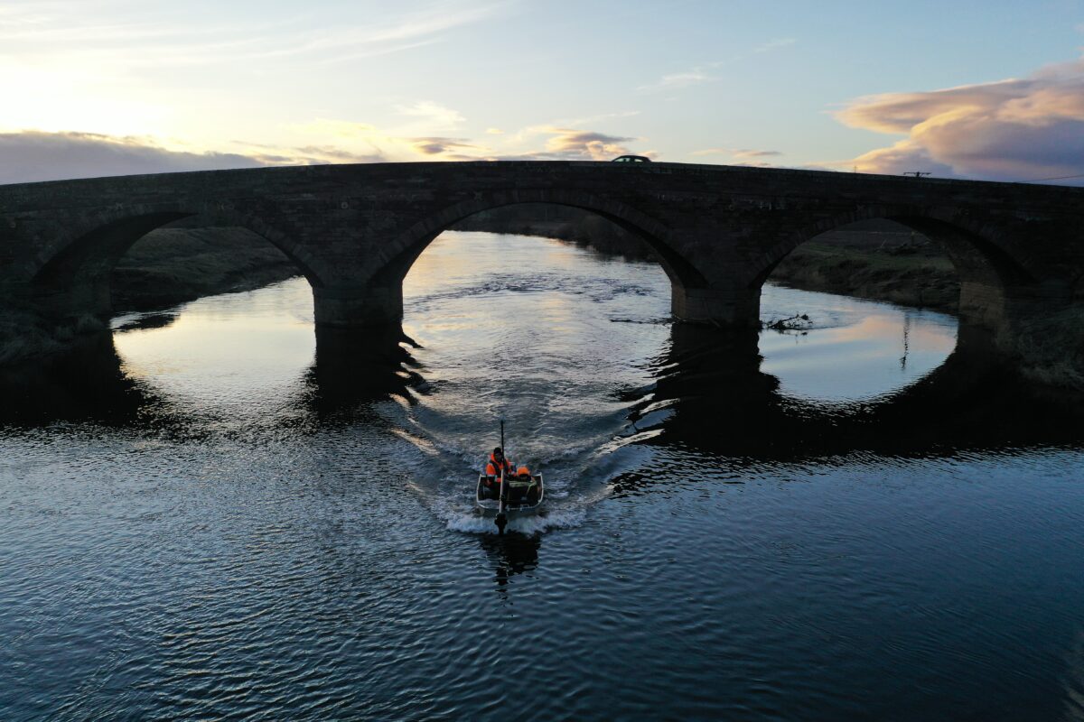
Bathymetric survey of the riverbed and banks was undertaken using a high resolution multibeam system fitted to a small, shallow draft work vessel. This allowed the team to complete survey in those shallower areas of the river and provide complete coverage.
This data was enhanced with aerial LIDAR and photogrammetry to create a River Digital Twin of this river corridor.
The Results
The raw data was processed, cleaned and interrogated with possible locations identified and recorded in a spreadsheet. The point cloud geolocations on possible beaver burrows above and below the water line were imported into the JBA-developed field app and web-based management which will facilitate decision making and allow the beaver burrows to be effectively managed.
Recent News

From Dee to Data: Storm Delivers Dynamic River Data
What’s Driving Our Success in Surveys & Leadership?
