Precision Surveying of Reservoirs Across the West Midlands
The Background
- Date
- October 2024
- Client
- Land & Water
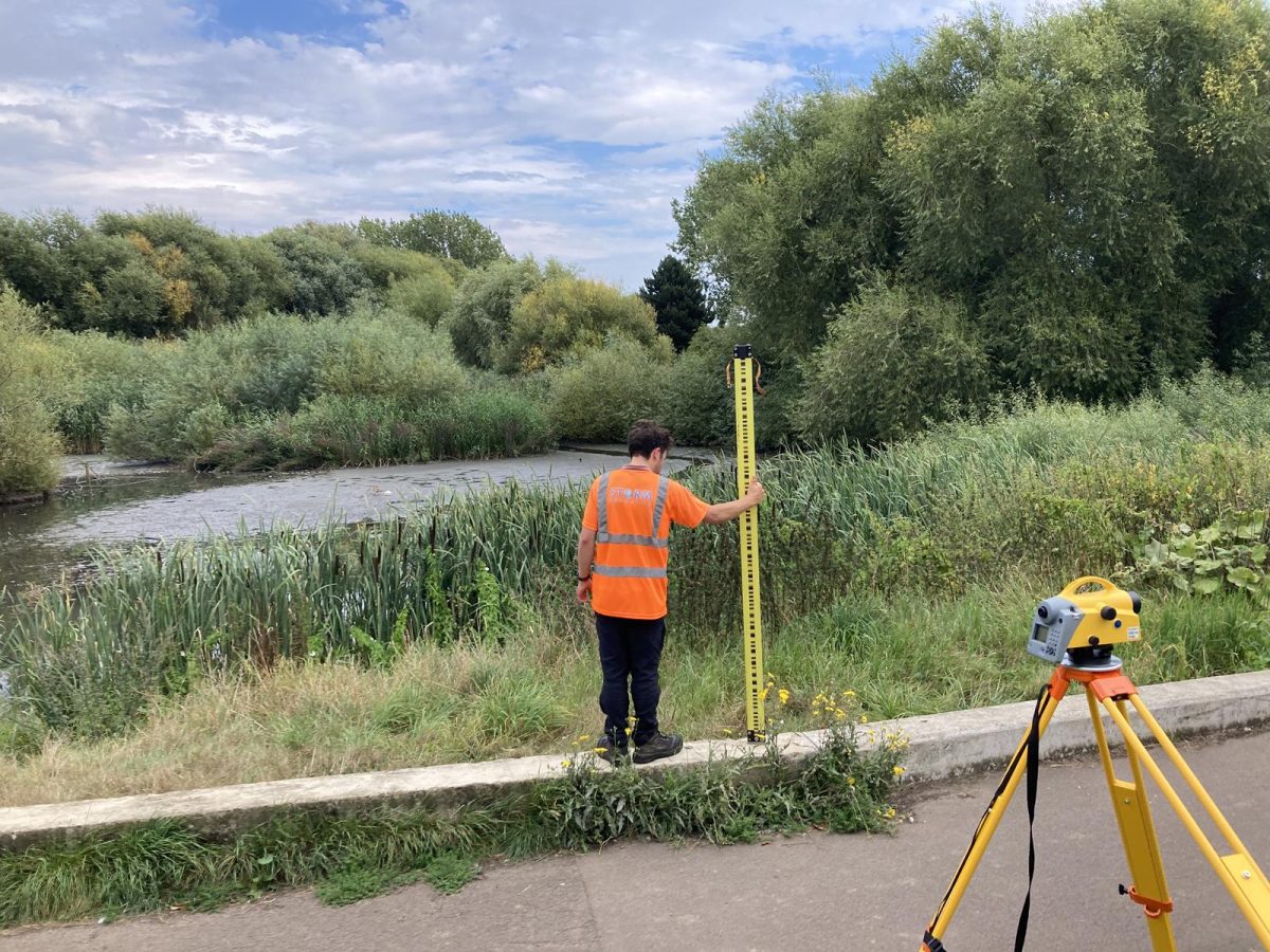
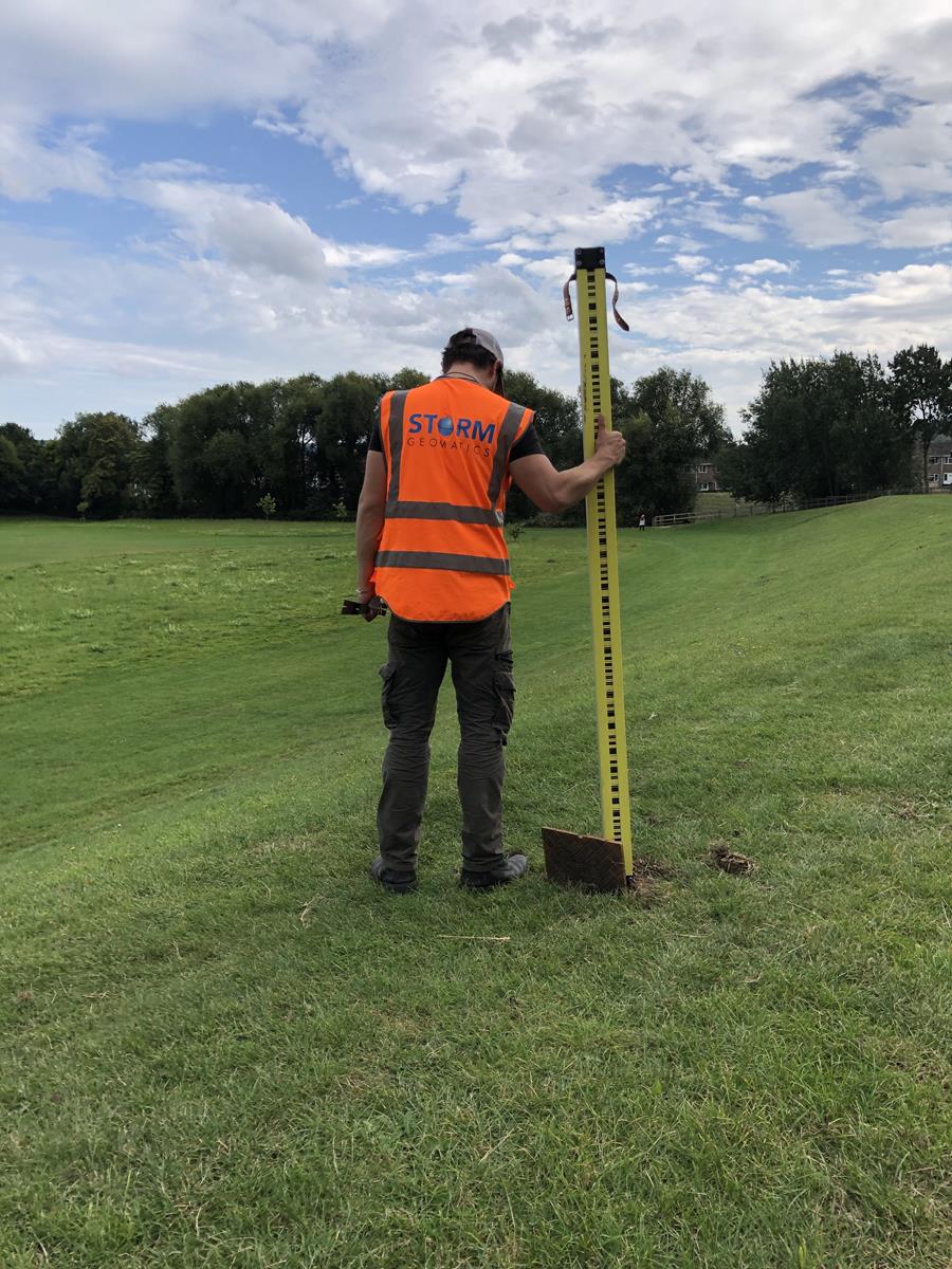
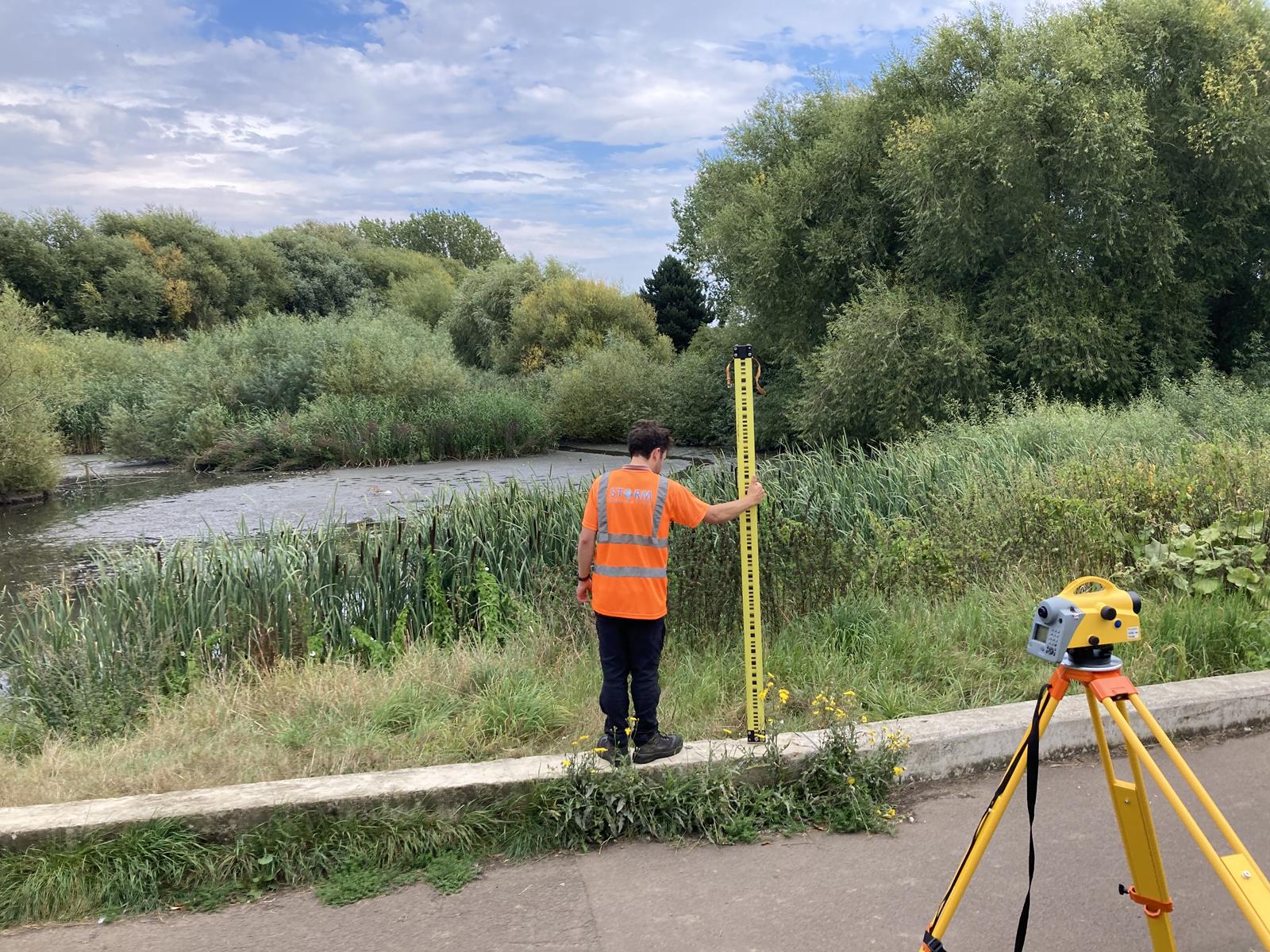
During the dry UK Autumn, Storm Geomatics’ surveyors, led by Josh Humphriss, undertook a large-scale asset condition and deformation survey across seven reservoir sites in the West Midlands. The project required exceptional accuracy, leveraging technology and the team’s expertise to meet stringent tolerances and ensure hyper intelligent data for long-term asset management.
The team was tasked with performing:
- Precise levelling with extremely low tolerance for error.
- Topographic surveys for detailed mapping.
- Cross-sections for condition analysis and trend comparisons.
The Challenge
A key challenge lay in achieving accuracy across hundreds of monitoring points. Each point had a unique identifier, with data comparisons required and comparisons are made with data from previous years, making accuracy critical to ensure consistency and reliability.
The meticulous nature of the task meant that even the smallest deviation could compromise results, underscoring the need for an impeccable approach.
The survey team took the following course of action to create a solution for their client:
- Identification and Verification
To streamline the process, each monitoring point was flagged with a unique number. This system provided clear identification, reduced the risk of errors, and ensured every point was correctly documented throughout the survey.
- Precision Equipment
Using the Trimble DiNi digital level with an accuracy of 0.3mm per kilometre, the team adhered to strict tolerances, achieving the precision demanded by the project.
- Base RTK GNSS Configuration
To maintain consistency with previous surveys, the team used a base RTK GNSS system to tie the new data seamlessly to previously established control points. This ensured continuity across datasets, enabling accurate year-on-year comparisons.
- Replicable Cross-Section Surveys
Cross-section and long-section surveys were aligned with historical survey lines, allowing for direct overlays and precise analysis of structural changes or deformation.
The Results
Storm Geomatics delivered hyper intelligent data and clear, actionable insights to the client:
- A detailed spreadsheet with all monitoring points, historical values, and current measurements, highlighting any detected movement.
- Cross-sections and long sections, clearly illustrating areas of potential concern.
- A comprehensive report, summarising findings and providing essential information to guide maintenance and management decisions.
Storm’s client can now to maintain their critical assets using the data and actionable information.
Recent News

From Dee to Data: Storm Delivers Dynamic River Data
What’s Driving Our Success in Surveys & Leadership?
