Mastering Land Access: Storm Geomatics Leads the Charge
The Background
- Date
- April 2024
- Client
- Stantec
For Storm Geomatics, negotiating land access has become an integral part of project management. In this case study, discover how Storm Geomatics leveraged their expertise and experience to overcome land access challenges and deliver exceptional results for their client.
Long standing client Stantec approached Storm with a requirement to quantify the effects on the Rivers Balder and Tees of small releases of water from Hury Reservoir to test valve equipment on a regular basis.
The Challenge
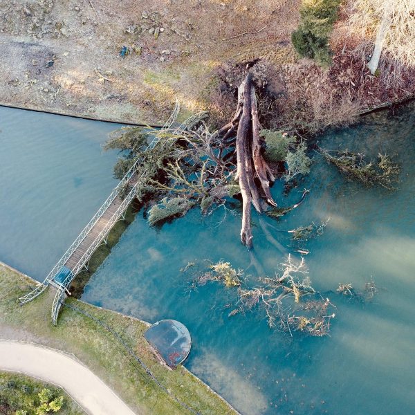
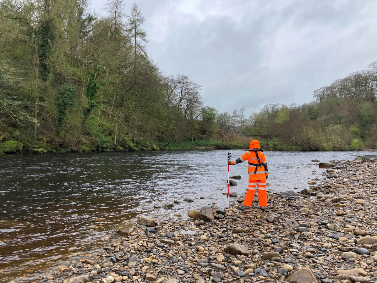
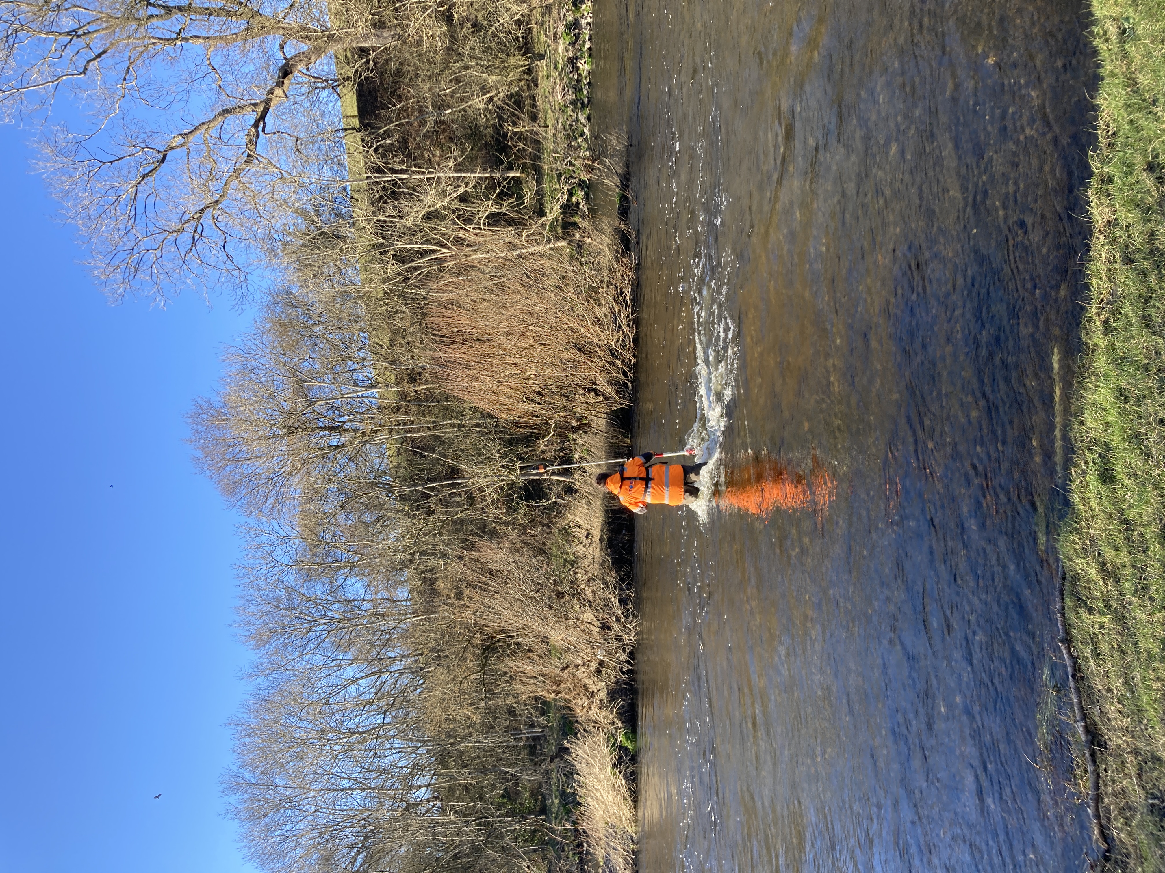
To achieve this, accurate geometry of the River Balder & River Tees was needed to create a hydraulic model of the river system for assessment. However, time was of the essence as the project required LiDAR data to be collected before the spring growth obscured the vital ground levels.
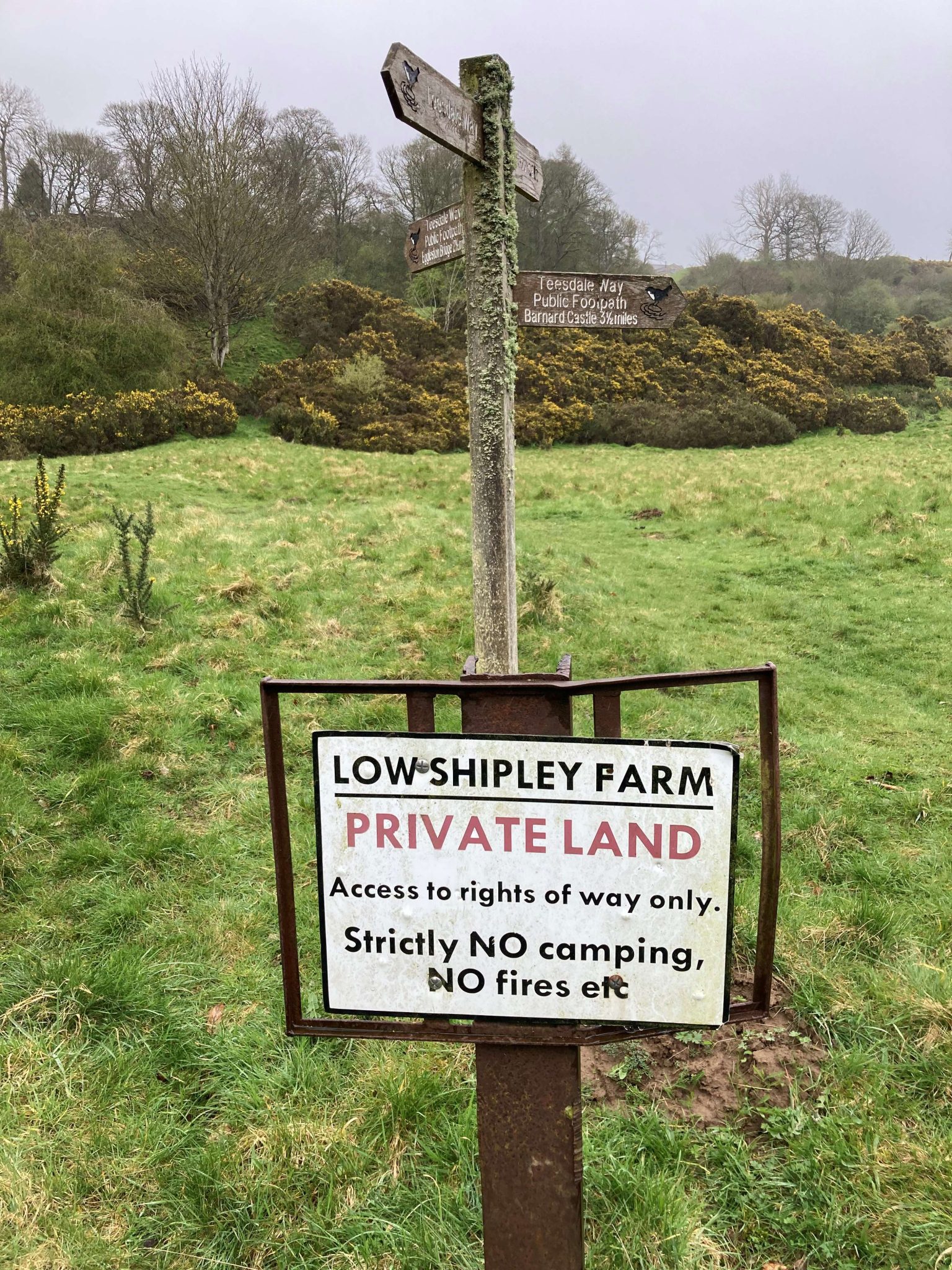
Additionally, notifying and obtaining access from all landowners along the rivers presented a significant logistical hurdle. The usual procedure for Stantec was to employ a third-party company to achieve access. Often a lengthy and costly process, so on this occasion it was agreed Storm Geomatics would approach landowners directly.
The Solution
Leveraging a well versed, streamlined processes, Storm proposed a faster and more cost-effective approach to land access. By offering a one-stop-shop solution—from land access to surveying —eliminating the need for third-party involvement, saving valuable time and resources.
Storm Geomatics identified all landowners along the Rivers Balder and Tees, created physical letters and addressed envelopes. Letters were posted within 24 hours of appointment – providing 2 weeks’ notice to all landowners.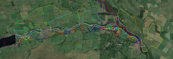
A landowner parcel map was created to successfully identify who needed to be contacted. A project manager was appointed to field inquiries from landowners, ensuring clear and timely communication throughout the process.
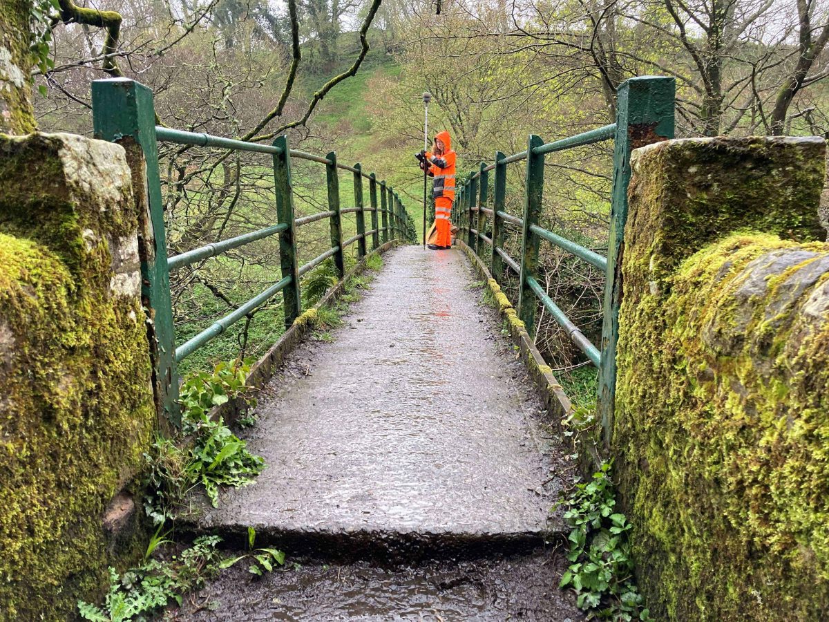
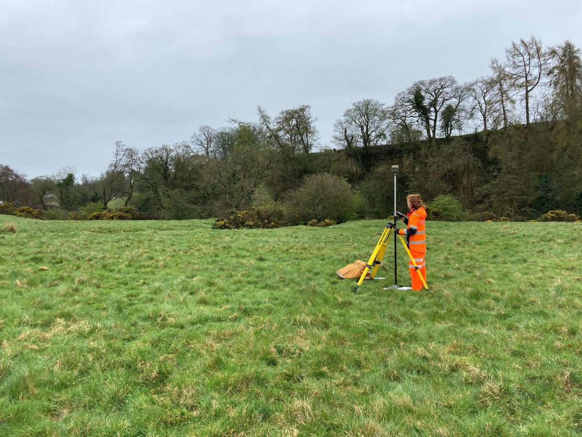
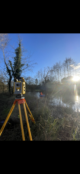
With land access secured, the survey team mobilised within two weeks and capitalised on the optimal “bare tree” conditions for LiDAR data collection.
Armed with precise land access and state-of-the-art equipment, our surveyors meticulously captured the river valley geometry for the required hydraulic model.
The Results
Thanks to the proactive approach to land access and efficient project execution, Storm Geomatics successfully delivered the required LiDAR data within the tight timeframe. Achieved by eliminating the delays and complexities associated with traditional land access methods.
In the realm of survey, land access is often the linchpin that determines the success or failure of a project. Often it can be a “showstopper” interruption that costs money.
Through proactive approach Storm Geomatics has established itself as a leader in navigating the complexities of land access. Whether it’s a small survey or a large-scale surveying project, clients can trust Storm Geomatics to deliver results, on time and within budget, every time.


- Mike Hopkins
Managing DirectorRecent News
From Dee to Data: Storm Delivers Dynamic River Data
What’s Driving Our Success in Surveys & Leadership?