How Did Storm Geomatics Tackle a Tidal River Challenge?
The Background
- Date
- November 2024
- Client
- JBA Consulting
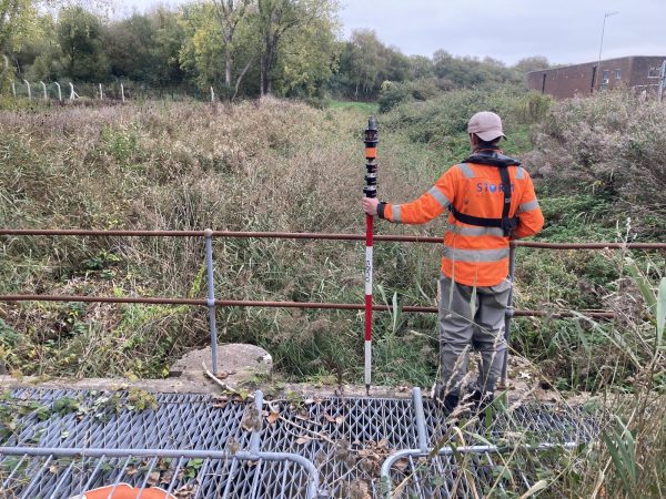
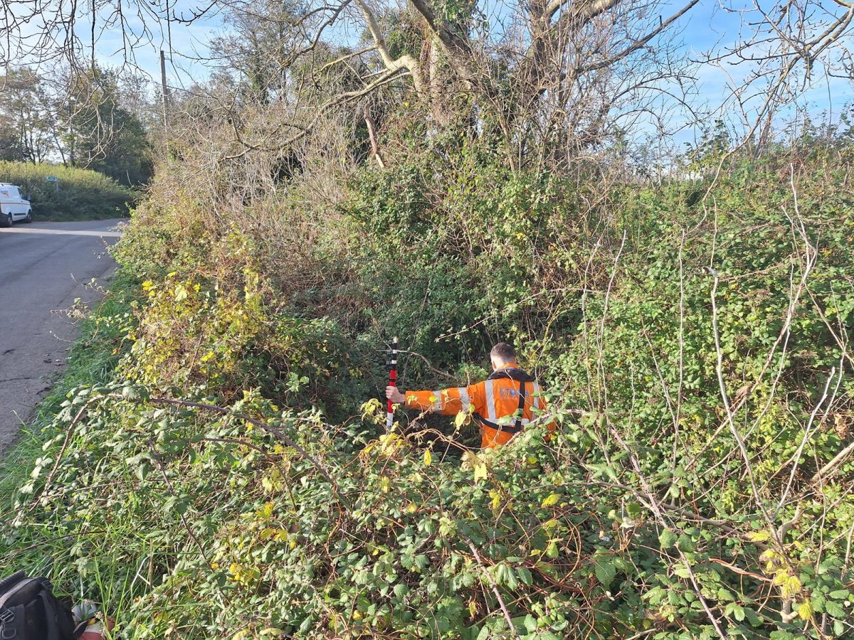
Storm Geomatics was tasked with conducting a channel survey along the Rivers Stor, Chilt and Arun to assist the Environment Agency assess the flood risk in the Lower Arun catchment. The primary focus of the survey was a 30km stretch of the River Arun with work mainly concentrating on the larger structures spanning the river. Additional survey was required on some smaller watercourses as well as a topographical survey on a privately owned pond.
The Challenge
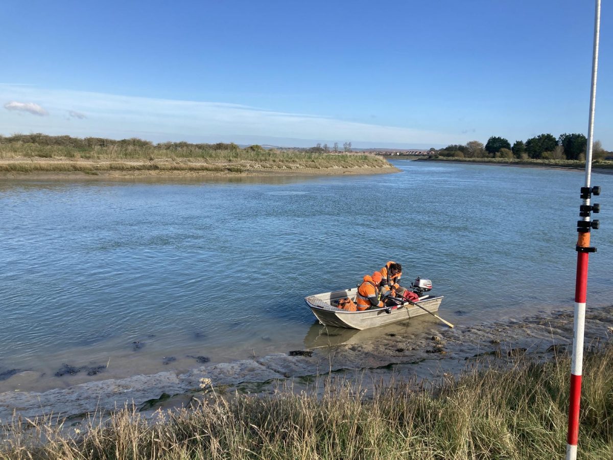
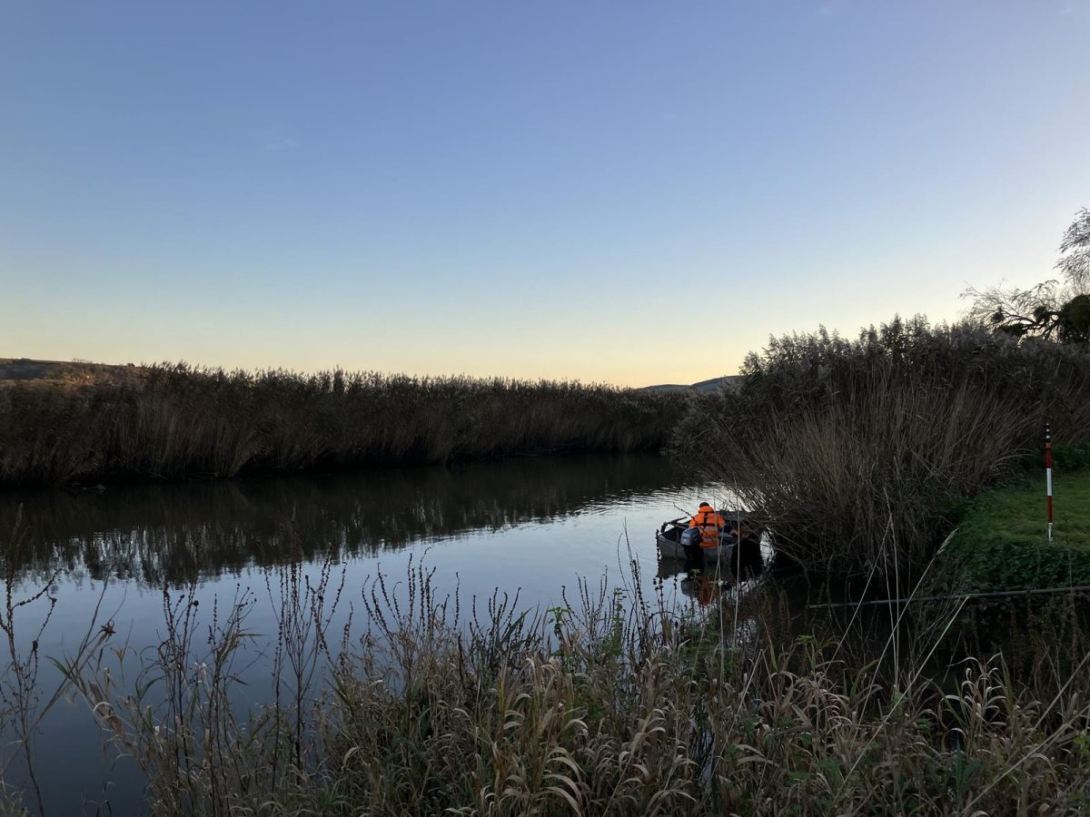
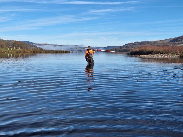
The logistics of the survey posed several challenges. The Arun is a tidal river, with water levels fluctuating as much as 6 meters due to tidal movements. This meant careful planning was required to ensure that the correct structures were surveyed at the right times, avoiding the risk of getting grounded or carried out to sea.
The river’s depth and swift current presented further difficulties when surveying both soft and hard river bed levels. In areas where manual poling was unsafe, a single-beam echosounder was deployed to gather data, offering an effective alternative.
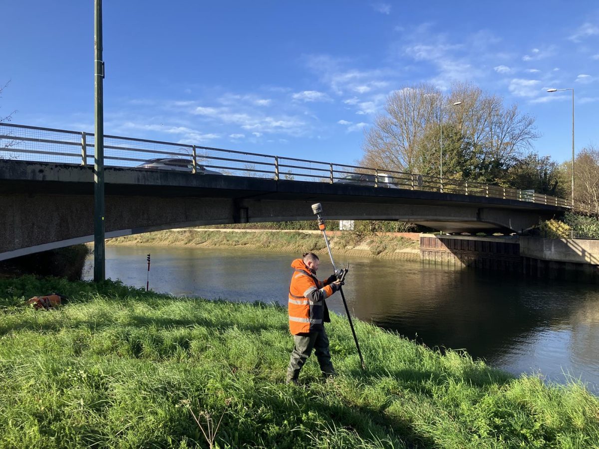
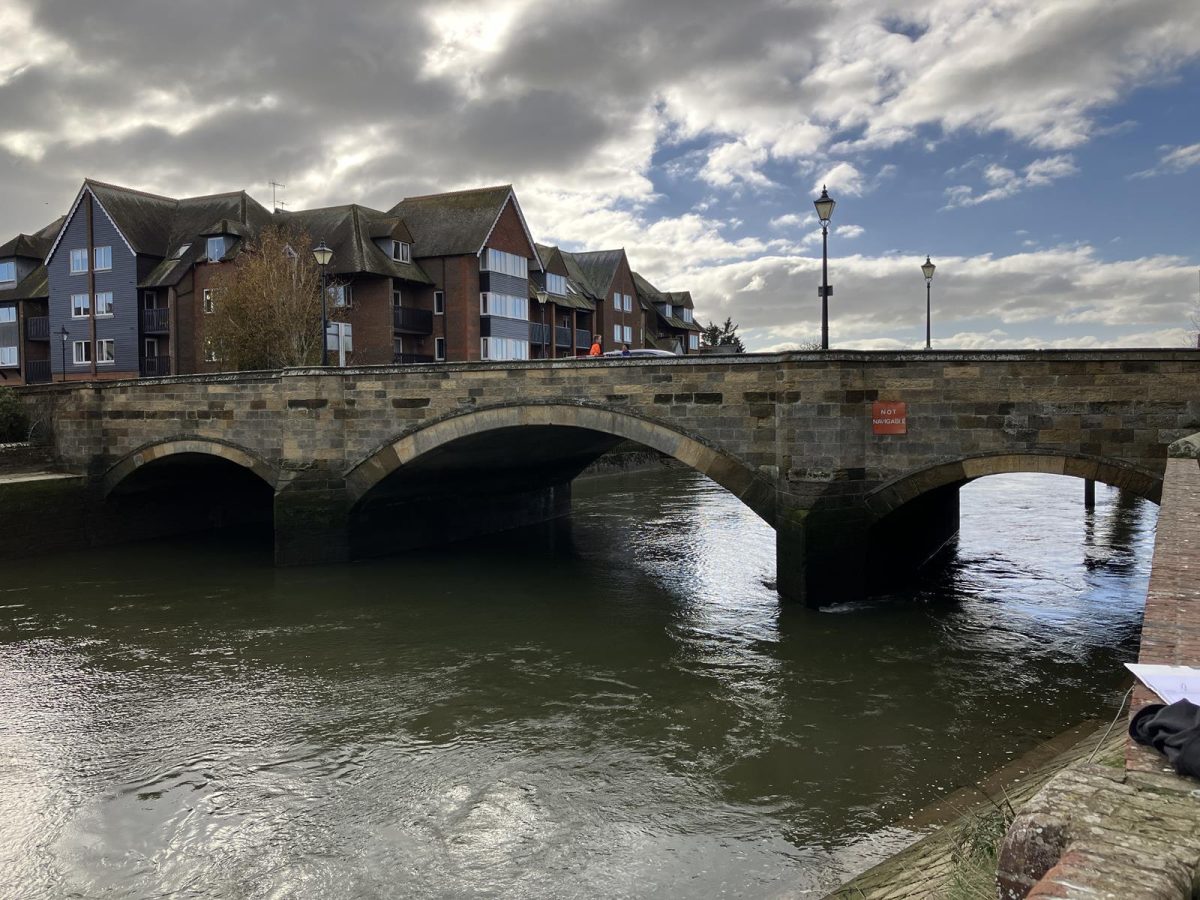
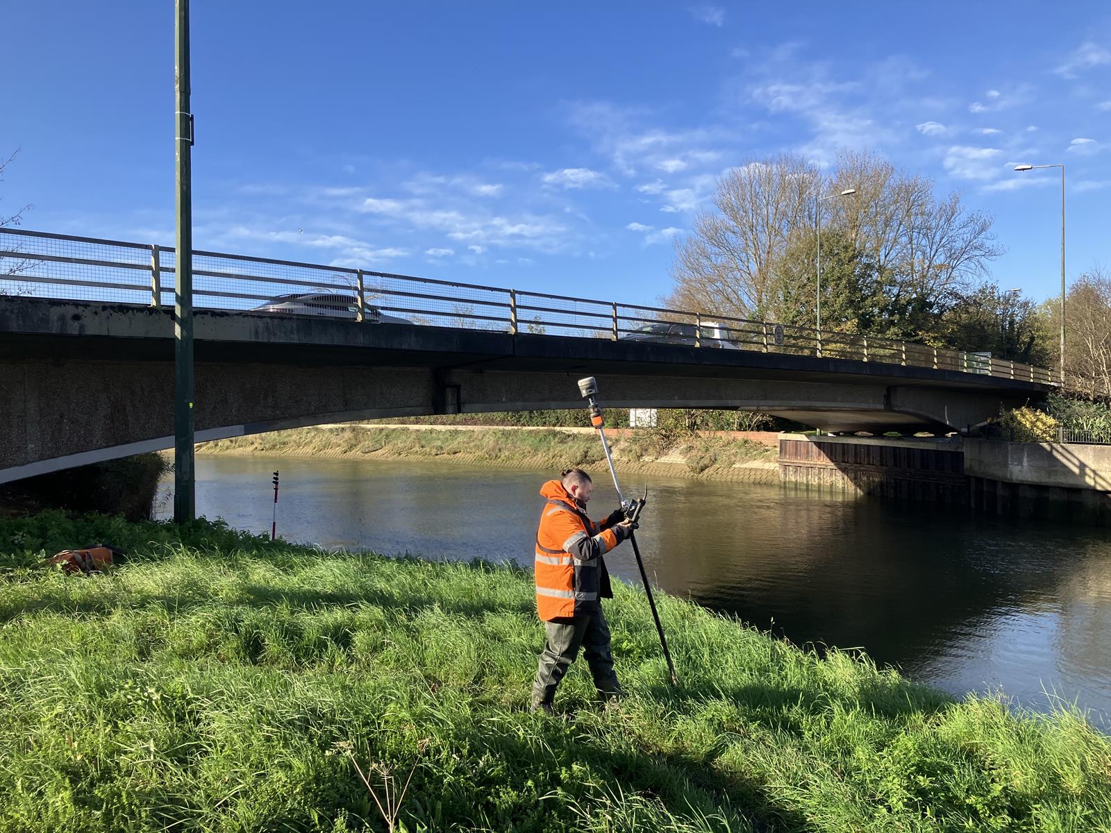
Storm surveyors were also tested by the scale of the structures that appeared on the river. Large bridges, in particular, required careful planning to ensure every angle was surveyed. With such large-scale structures, the potential for missing key details was high. Each Total Station setup had to be planned meticulously to gather as much data as possible.
Project Lead Surveyor, Tom Isaac commented “It can be very easy for something to slip your mind when surveying such a large bridge as it can take so long but it helps having your survey team with you who are also thinking about what needs to be surveyed and can give you a nudge in the right direction if you end up side-tracked on something else.”
The Results
Upon completion of the survey, the collected data was processed into CAD drawings. These included all necessary data exports such as cross-sections and information on both hard and soft river bed levels. Additionally, 11 control stations were established, spaced approximately 2km apart along the surveyed reaches.
This project was delivered with a quick turnaround to a high standard as it is vital for the Environment Agency to have this data at their disposal to make their best judgements on the area’s flood risk.
As the challenges of flood risk persist, Storm Geomatics will continue providing bulletproof data that will positively impact the way this country can deal with the risks associated with flooding.
Recent News
That’s A Wrap: 2025 River Surveys & Festive Resilience
Storm Claudia vs Storm Geomatics: When Nature Tests
