Innovative Solutions for New Wetlands Through Survey
The Background
- Date
- August 2024
- Client
- Milestone Environmental
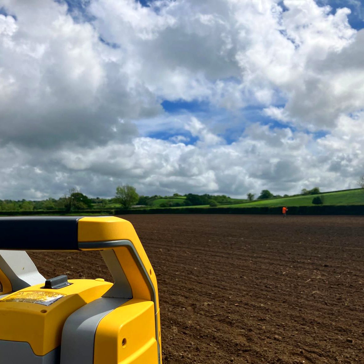
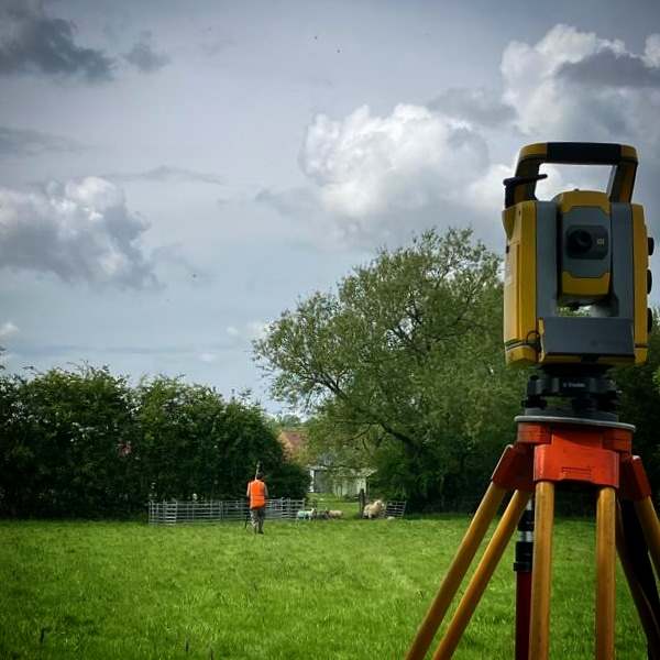
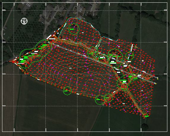
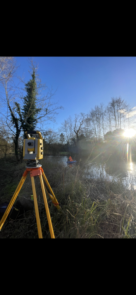
Storm Geomatics were tasked with carrying out a topographic and channel survey of large area of greenfield land in East Chinnock, Somerset, to inform a proposal set to convert arable land into constructed wetland in order to treat water from the adjacent Chinnock Brook. The Topographic survey included the channel, any structures present, culverts, bridges, surface changes, overhead services, boundaries, vegetation, all trees, and a 10m level grid.
Surveyor’s encountered dense vegetation, hindering access to the channel, but the expertly trained surveyors kept the project along it’s critical path and to deadline.
The Challenge
Tree density posed another challenge, however a site walk with the client prior to commencing survey works allowed for a fuller picture of the conditions on the ground and minor specification adjustments were made by mutual agreement to meet the project requirements efficiently.
The survey team, led by surveyor Ben Frimley, initially encountered issues with RTK VRS connection and GNSS during the commencement of the survey, the usual method of establishing relative position and elevation, married with common point adjustments. Therefore the surveyors set up interim control stations and commenced traversing between them. Once GNSS coverage was restored, the team observed the interim control points and converted the measured data from a local, arbitrary coordinate system onto OS grid, providing Morgan (Trainee Surveyor) with insight into traditional surveying methods and a valuable ability in any Surveyors skillset!
On occasion it can prove impossible to obtain a cross section due to various issues such as time constraint or denied land access. However if a topographical survey is completed the cross section can then be extracted from that data.
This method was used to avoid the repetition of measurements and create maximum efficiency on site.
The Results
A digital terrain model was created from the measured topographic data, then, surveyors worked with Virtual Surveyor to extract the cross sections by importing the DXF and exporting the result as a CSV file for editing in GeoRiver®, this method is relatively new in terms of workflow. Constant communication throughout each stage of the project with the client ensured that hyper intelligent data was delivered within budget.
Recent News

From Dee to Data: Storm Delivers Dynamic River Data
What’s Driving Our Success in Surveys & Leadership?
