Can Precise Surveys Tame the UK Rivers?
The Background
- Date
- January 2025
- Client
- JBA Consulting/ Environment Agency
The Bungay Model Update project is a critical survey initiative aimed at improving hydraulic modelling for the River Waveney and its tributaries, including Chainbridge Beck. Commissioned as part of the Environment Agency’s efforts to enhance flood risk assessment and management, the project was led by JBA Consulting and executed by Storm Geomatics.
The primary objective was to update the river model by conducting a comprehensive River Cross Section Survey, ensuring that the latest data informs flood mitigation strategies and asset management.
Storm Geomatics are a premier approved supplier to JBA Consulting holding a full suite of accreditations.
The Challenge
The survey presented several challenges due to the complexity and scale of the project. The primary hurdles included:
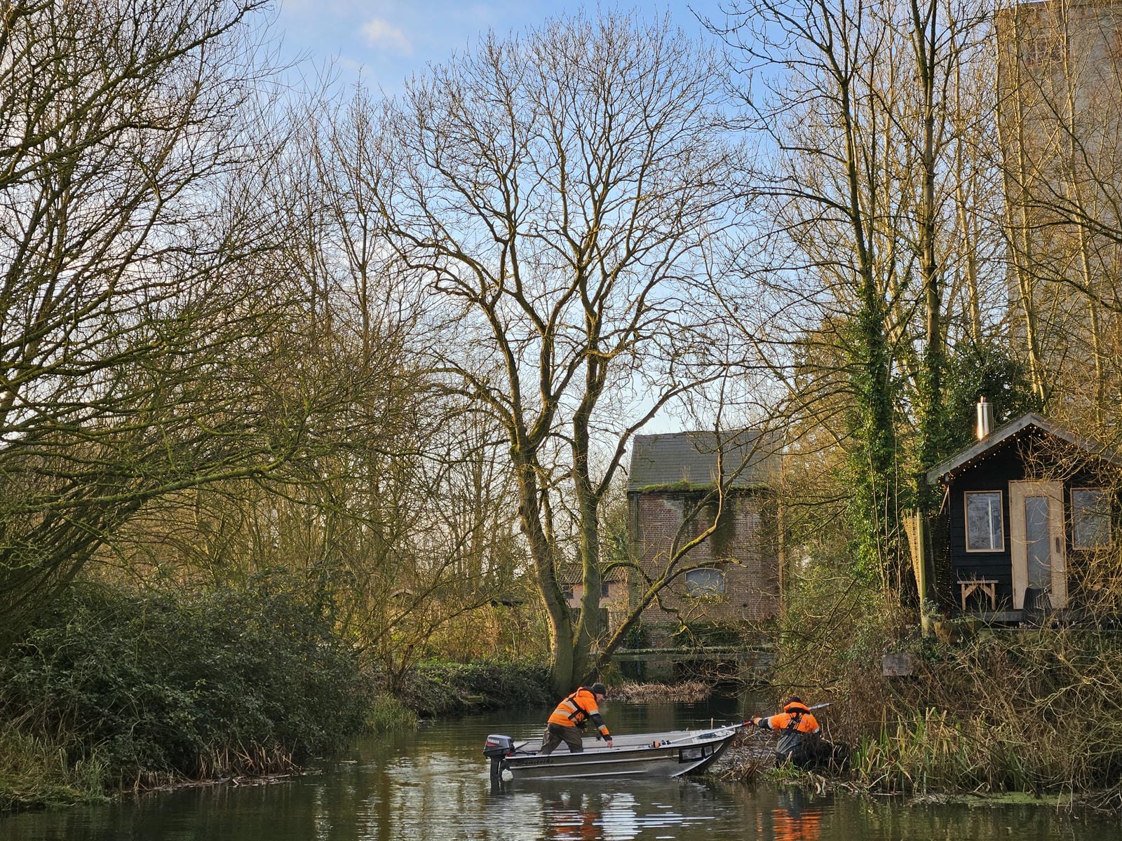
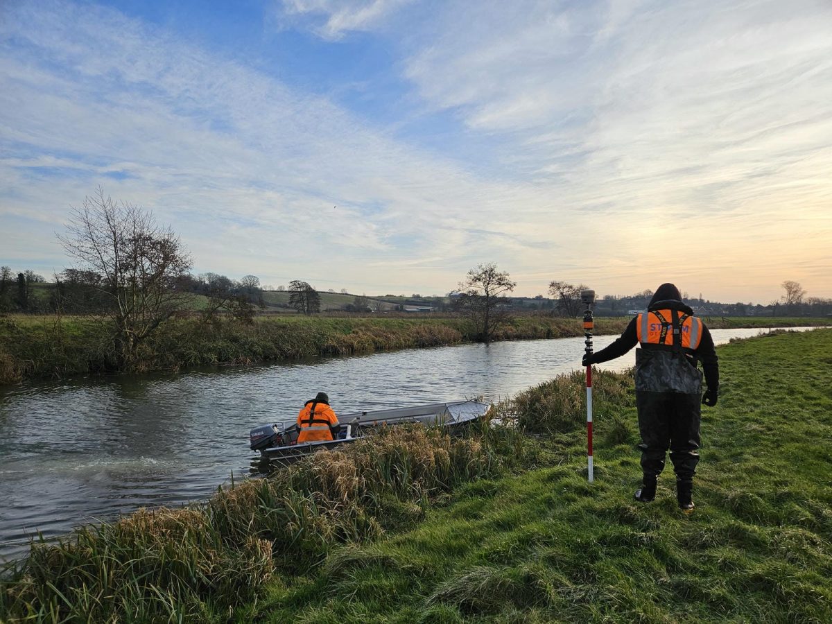
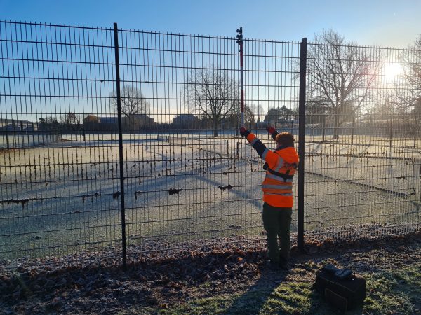
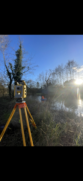
- Access and Navigation: With over 4 km of river to survey across multiple watercourses, obtaining access permissions from landowners and navigating restricted areas required careful planning and communication.
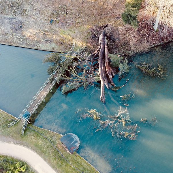
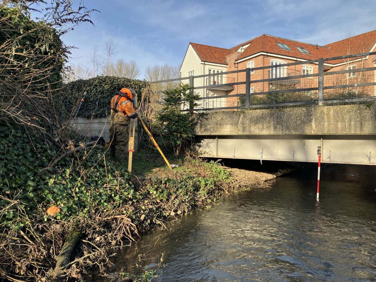
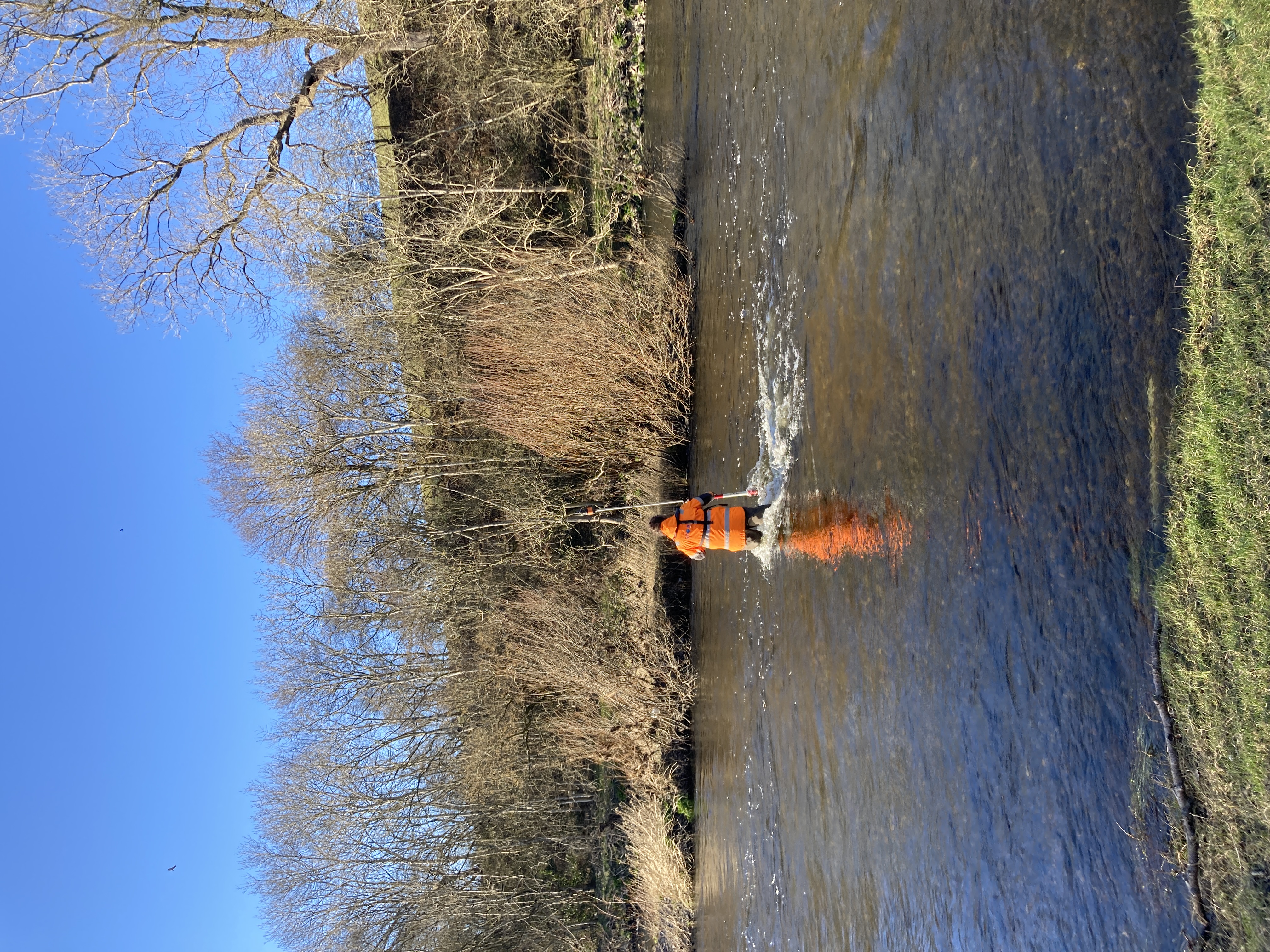
- Surveying in Varied Conditions: Sections of the River Waveney and Chainbridge Beck were accessible only by boat, requiring specialist equipment and trained surveyors to ensure safe and efficient data collection.
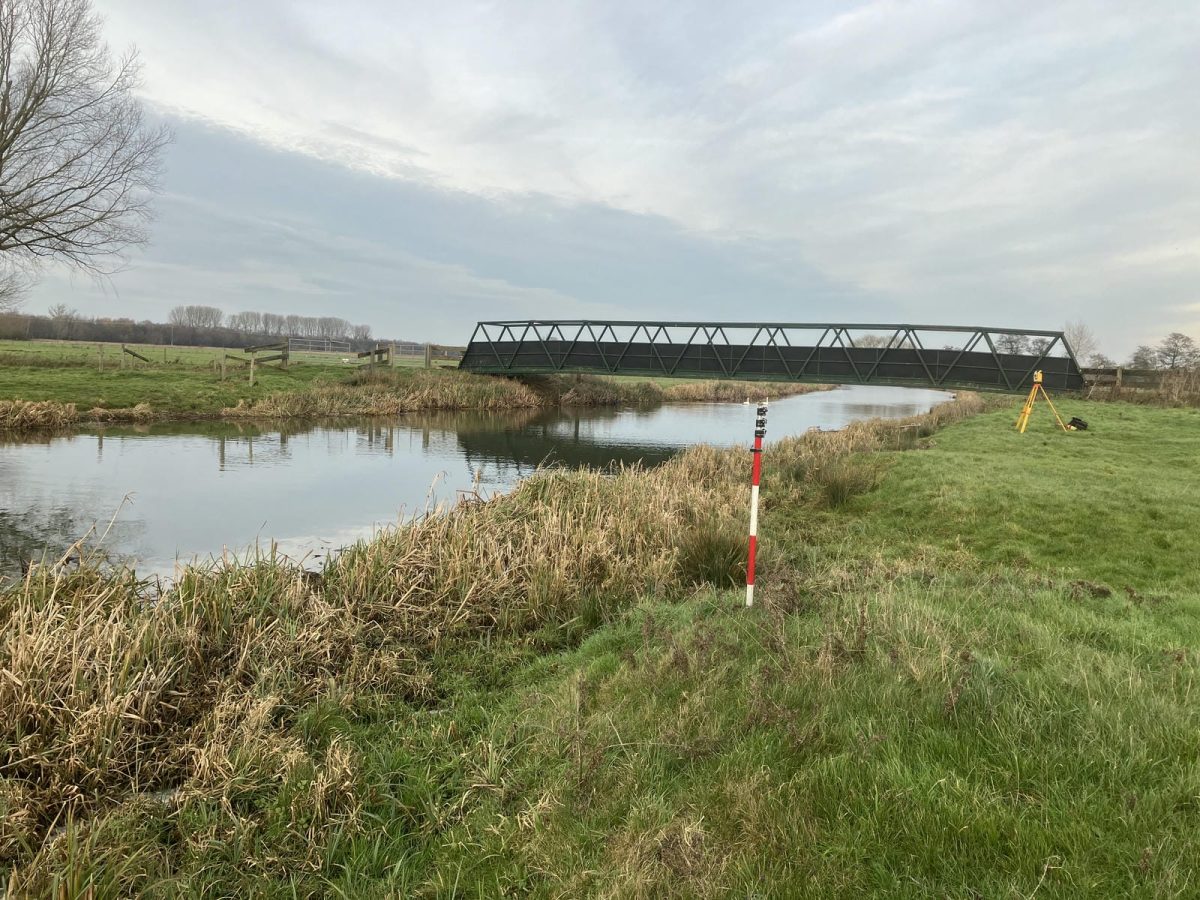
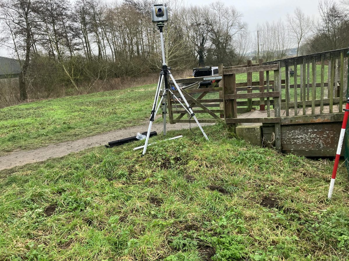
- Structural Complexity: The survey included 67 cross sections, covering open channels, bridges, culverts, weirs, and complex hydraulic structures such as Bungay Sluice. The sluice required a detailed scan to capture its operational parameters, including gate heights and radial dimensions.
- Hydrological Variability: Given the winter season, water levels and tidal influences posed challenges in maintaining consistency across data points, necessitating close monitoring of conditions to optimise data accuracy.
The Results
This survey met with Environment Agency’s National Standard Technical Specification for Surveying Services (v5.01). Key achievements of the project included:
- Comprehensive Data Collection: The team surveyed 43 open channel cross sections, 21 bridge and culvert structures, one weir, and two complex hydraulic structures, providing essential data for hydraulic modelling.
- Advanced Methodologies: Using a combination of boat-based surveys, wading techniques, and 3D laser scanning, the team captured high-resolution data for Bungay Sluice, enabling precise modelling of its operational dynamics.
- Seamless Integration with Modelling Software: The survey data was processed using GeoRiver® software, ensuring compatibility with major hydraulic modelling packages such as Flood Modeller Pro, TUFLOW, HEC-RAS, and MIKE11. In line with the client’s required data output.

- Tom Atkinson
Senior SurveyorRecent News
From Dee to Data: Storm Delivers Dynamic River Data
What’s Driving Our Success in Surveys & Leadership?