Bristol Canal Regeneration- A Bathymetric Survey
The Background
- Date
- January 2024
- Client
- Geoterra Ltd
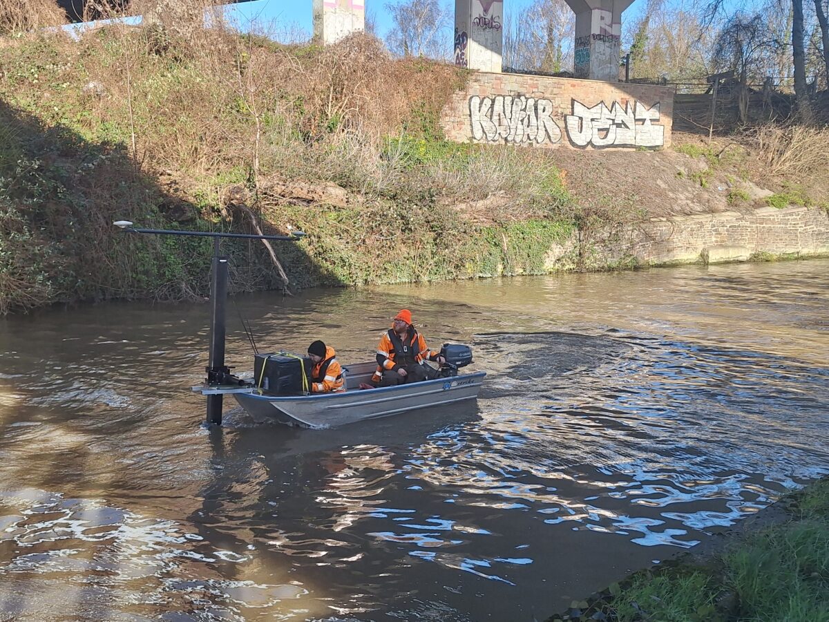
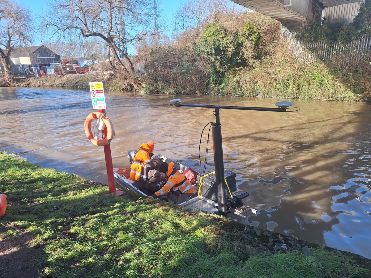
A survey team led by Senior Surveyor Laurence Washbrook carried out a bathymetric survey of the Bristol canal as the area is due to be regenerated in the near future. Before regeneration work commenced a survey to assess the stability of the canal walls was required. An attempt by a dive team to collect the data had been unsuccessful due to the turbidity of the canal. Hence the requirement for Storm to conduct this survey.
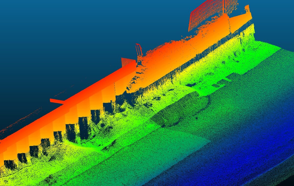
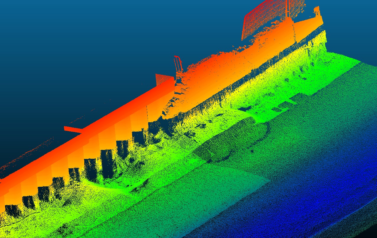
Storm Geomatics were contracted to produce above and below water point cloud data to visualise the walls and identify any damaged areas.
The Challenge
With any site such as this strict launch and landing procedures must be adhered to. Storm’s experienced team were deployed with DREFA Water & Flood Awareness Safety Level 2 training. This is the case on all projects Storm carry out.
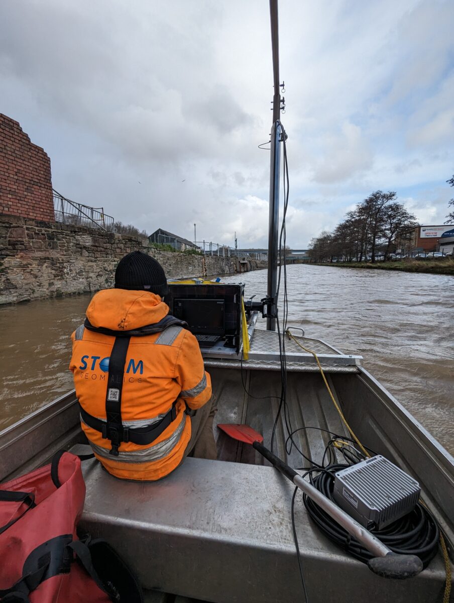
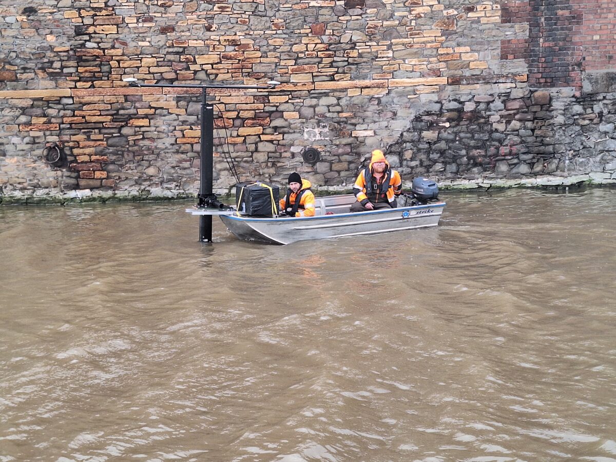
Storm deployed a combination laser scanning with the Trimble SX10 for above water point cloud generation. A Norbit iWBMS Multibeam system was mounted onto a small survey vessel to survey below the water line. These point clouds were combined into one model to provide to the client as a .laz file for easy interpretation of the data within the requested data output method.
The Results
Using a true multibeam allowed for clearer resolution of the wall providing a higher quality data set.
The merged point clouds allowed context to be given to the engineers when making site visits and ensure they are able to make better informed decisions to their engineering solutions for the regeneration project of this area.
A true multibeam being used allowed for clearer resolution of the wall providing a higher quality data set.
This project was another successful collaboration with strategic partners Geoterra Ltd.
Recent News

From Dee to Data: Storm Delivers Dynamic River Data
What’s Driving Our Success in Surveys & Leadership?
