Behind the Survey: Overcoming River Risks
The Background
- Date
- May 2024
- Client
- Stantec
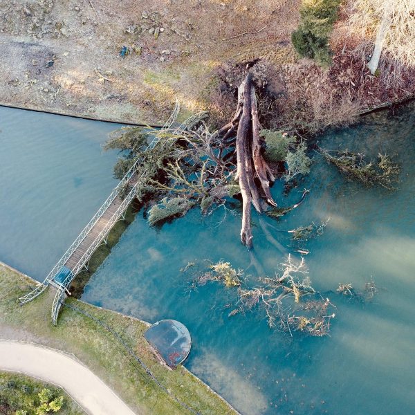
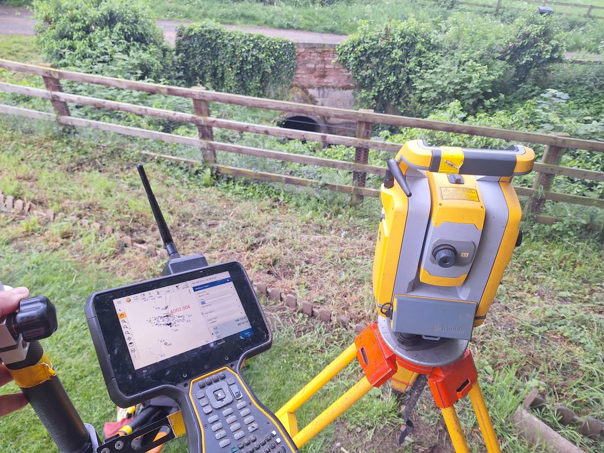
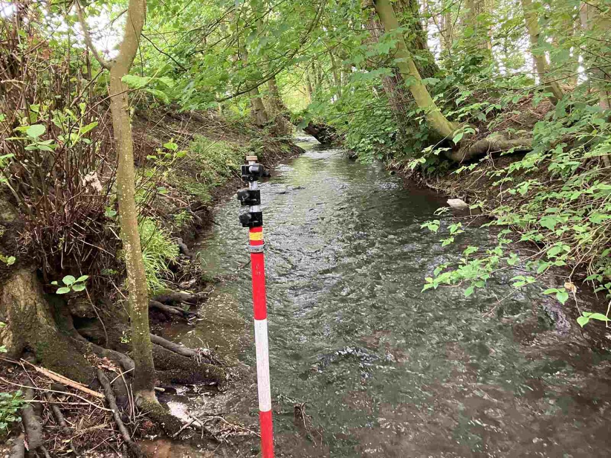
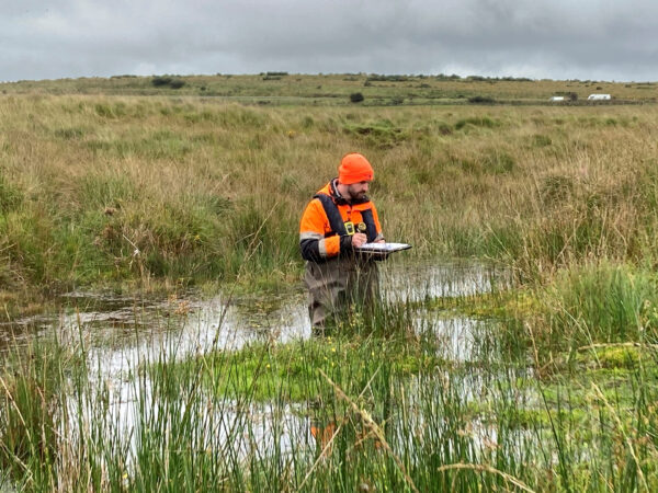
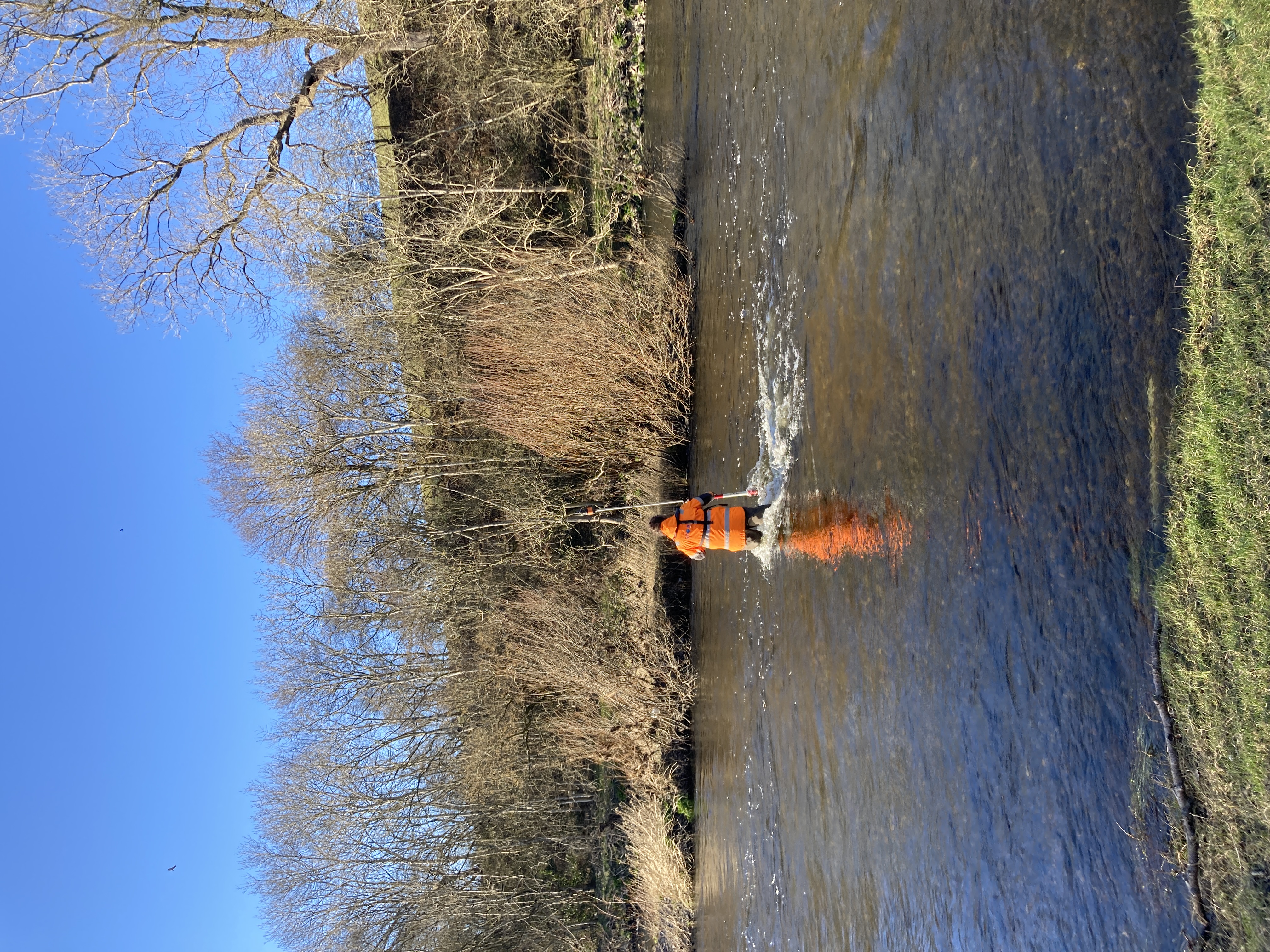
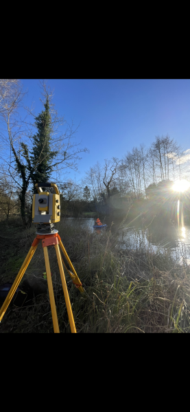
Storm were contacted to carry out a survey of the Ladywell watercourse in North Yorkshire, the specification included a full survey of the river channel including bank levels, bridges, sluices and weirs. The data was required to help inform a hydraulic model that was to support a flood risk assessment study. The client was specifically interested in channel capacity and high and low points of the banklines.
Key survey outputs include:
- Survey report with photos, control information and water phosphate levels
- Long section and location plan
- Cross section drawings
- Channel survey data with CES data
- XYZ Coordinate data
The Challenge
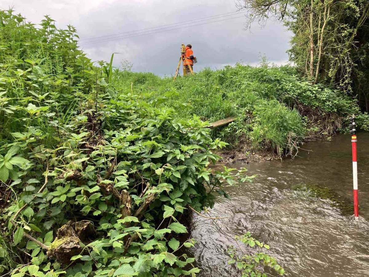
Storm Geomatics know the success of a job begins in the diligent preparation. The survey team completed a full desktop study before deployment, site specific RAMS were written, the weather forecast; water levels checked, and an extensive landowner identification carried out. It is these actions that help the survey team to formulate their most effective approach to performing the survey.
The survey area consisted largely of arable and pasture ground; the survey team were able to collaborate with landowners to gain access at all cross section locations, structures and banklines, resulting in a seamless hydraulic model.
Heavy rainfall during site work posed several significant challenges. Water levels must first be assessed using data from nearby gauging stations, weather forecasts and on-site observations. The surveying team use this information to calculate the level of risk and proceed accordingly. Fortunately, the water levels in the Ladywell River were not affected enough to pose an increased risk and a cease in channel work, however, working in the natural environment you have to be very adaptable and plan ahead, it had therefore been planned that if the heavy rainfall were to continue, and the Ladywell River water levels increased significantly, then the surveying team would collect the out of bank and structure data whilst water levels receded to a safe level. The heavy rainfall can also increase the risk of slipping/tripping, especially when working in a steep sided watercourse, this is where a suitable pair of waders is required. At Storm, safety is taken seriously, employing the saying ‘Safety first data later’ and therefore all surveyors are supplied the correct and well-maintained PPE, including waders with ankle support and grip.
The Results
Despite the challenges presented on the Ladywell project, the organisation, adaptability and awareness of the survey team ensured the works were completed to schedule.
GeoRiver® software was used in the creation of survey deliverables providing the data in the client’s desired format significantly reducing the time required to create the hydraulic model.
- Sam Middlecote
Trainee SurveyorRecent News
From Dee to Data: Storm Delivers Dynamic River Data
What’s Driving Our Success in Surveys & Leadership?