A River Digital Twin® Supports Floodplain Reconnection
The Background
- Date
- November 2024
- Client
- RJ Bull Limited
The idea behind a River Digital Twin® is to capture both bathymetric data of the channel itself, as well as LiDAR data of the floodplain which surrounds it. Combining the manual and aerial survey data into one smooth model is what makes the RDT so appealing. The visual element of being able to view the entire site as one point cloud in a single model is transforming stakeholder engagement for sites, and from the same model, measurements and cross sections can be extracted at any point along the river which informs potential interventions to reduce flooding or improve natural habitat.
The Challenge
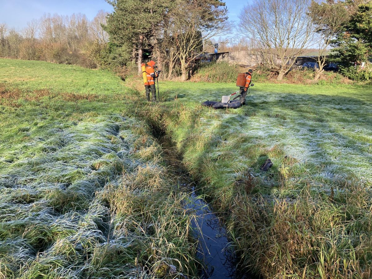
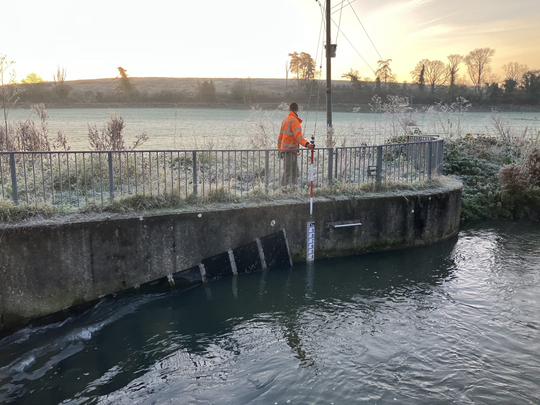
This project was particularly interesting as the river was in flood from the recent Storm Bert. Where the LiDAR data usually picks up the top of bank along the river, large parts were underwater and since LiDAR cannot reliably penetrate water, the banks were unable to be captured remotely. Due to the topography of the surrounding floodplain, there were also patches of standing water in the fields. These had to be manually surveyed to fill in areas where the LiDAR would usually cover, adding time onto the job and increasing the complexity of the processing. However, this was essential for creating a complete and accurate model.
Another deliverable for this project was a 2D orthomosaic photograph of the whole site, a geotiff which is formed from stitching together hundreds or sometimes thousands of high-quality overlapping aerial images. Not only is this a useful reference for the client, but it also helped surveyors pick up data that could not be collected manually. Soft detail features such as fences, verges and foliage lines that could not be accessed on site could be picked out on survey processing software using the high quality 2D orthomosaic image. The accuracy of this data was not compromised using this technique and allowed us to survey features that otherwise would have been missed.
The Results
During data processing, the lowest points of the LiDAR point cloud were identified and classified into a ground layer, forming the foundation of the RDT. A grid of elevation points was extracted from this ground point cloud at 4-meter intervals and imported into CAD software. This data was then integrated with bathymetric point data to produce a Digital Terrain Model (DTM). While the River Digital Twin® serves as a valuable deliverable, the workflow remains versatile, enabling Storm to provide clients with traditional topographic drawings and 3D models, as per their expectations.
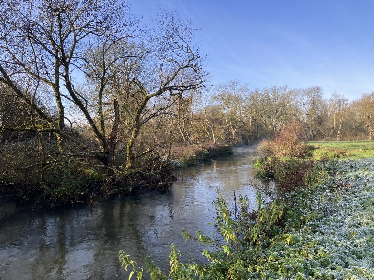
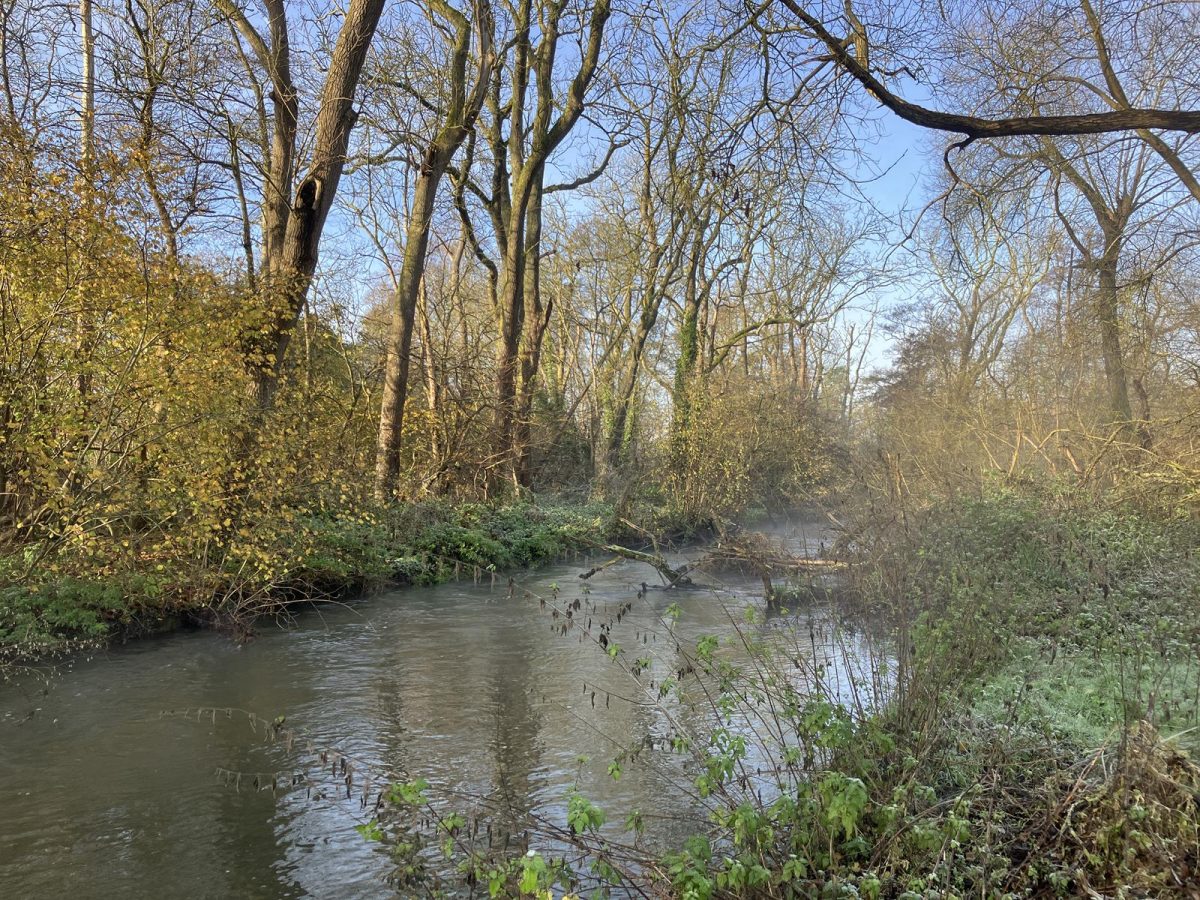
The River Lea is a valued asset to the rural Hertfordshire community and is used for fishing and other recreational activities. The data delivered by Storm will to be used to advise floodplain reconnection works, which will increase the biodiversity of the river whilst also reducing the flood risk in urban areas.
Recent News

From Dee to Data: Storm Delivers Dynamic River Data
What’s Driving Our Success in Surveys & Leadership?
