2021, Dedication + Motivation = Success!
January has whizzed by for all the team at Storm Geomatics. After a very well-deserved rest and a quieter than normal Christmas, the team hit the ground at some pace with a full schedule of new and exciting projects. The winter months can often bring weather that disrupts the logistical plans and survey schedule for Storm. However, the extensive kit and personnel resources available have ensured Storm are able to react and adapt when the weather conditions dictate.
Reacting to recent flooding in South Wales two teams were deployed to undertake essential post flood surveys. Accompanied by an engineering team, who would be using the data to calibrate flood risk models, surveyors sought to observe all locations that indicated the extent of the flood water. This included dirty water lines against buildings, wrack debris and even using ‘peak flood level’ photographs provided by the public to survey distinguishable features. The engineers will be using this data to improve their understanding of the conveyance of flood water within the catchment.[nbsp]
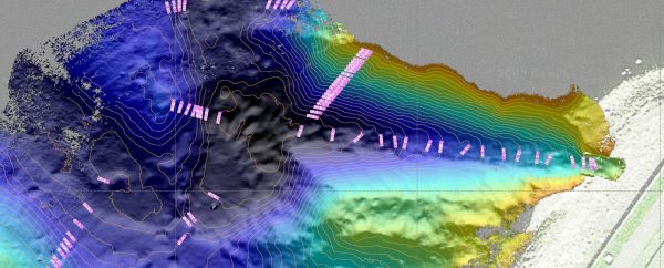
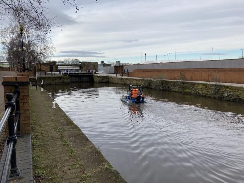
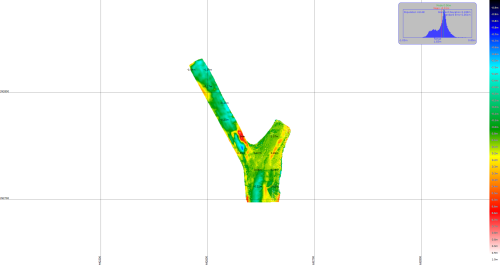
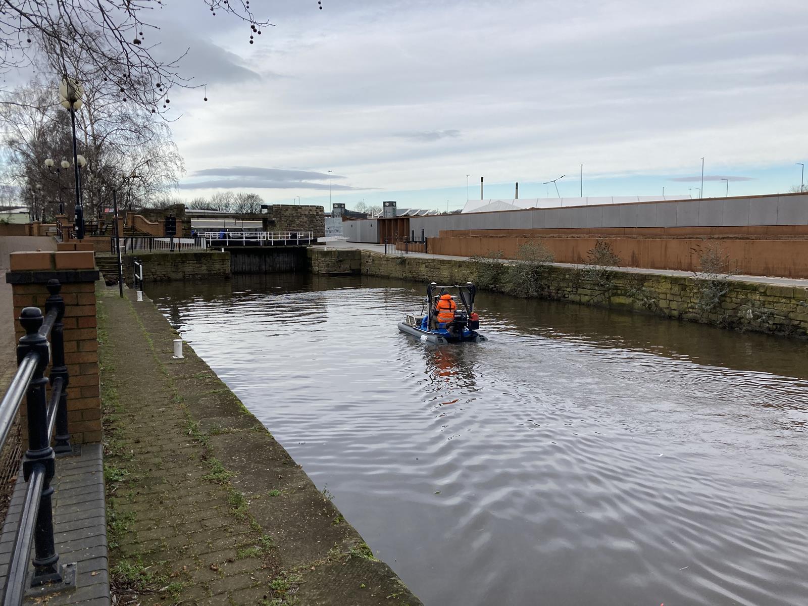
Storm Geoswath 1 is proving to be in ever increasing demand with two full-time teams now dedicated to conducting both bathymetric and traditional surveys. The Geoswath squad were deployed to Brown Cuts Canal in Rotherham town centre back in June 2020 and again this January to undertake a repeat survey to check silt levels in the area after dredging work had been carried out. The purpose of the survey was to quantify the sediment removed from the dredging process that was carried out by the Canal [&] River Trust by comparing the pre- and post-dredge surveys.
The Interferometric Survey vessel, Geoswath 1, is working well since the recent investment in a new Ekinox-D Inertial Navigation System. The improved accuracy of Roll, Pitch, Heave and Heading was noticeable and aided in carrying out the survey. Along with the improved navigation data, the training received on the software and different survey techniques, has facilitated greater efficiency and accuracy in acquiring survey data on site and reducing the processing time in the office. This improved equipment and knowledge is a result of requests from clients for survey data in more inaccessible areas.
During January senior surveyors and surveyors alongside the management team took part in first line manager training.[nbsp] The purpose of the course was to empower themselves and others to be more focused and productive during their working day. Additionally, the course gave advice on how to provide motivation and encouragement to colleagues whom they maybe managing during a survey project. Discussion around providing clear and engaging direction to team members took place. Encouraging them to offer feedback to team members on their performance.
As January ended the order book remains full of more new clients coming aboard for Storm, so to follow the adventures out on the diverse projects please do check into the many social media channels to see how Storm continue to deliver their clients surveys and assist in flood management through geospatial innovation and good honest traditional survey methods.
Until next time …stay safe everyone…carry on surveying!
Other News
Storm brings in the Big Guns…

From Dee to Data: Storm Delivers Dynamic River Data
