Why, When, What for?
Storm Geomatics have a regional office in the South West of England – why, when, what for?
During the winter of 2017 senior surveyor Steve Drew decided to relocate to South Gloucestershire – an hour and 15 minutes from the office. As a valued and vital member of the Storm team the directors were keen to retain Steve; discussions ensued how this could be achieved.[nbsp] With an increase of survey work in the South West of England a new regional office was opened with Steve at the helm. Over the past four years a strong and expert team of surveying staff has been created and the office goes from strength to strength in providing geospatial services to existing and new clients.
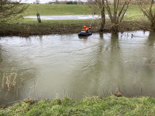
During February, the South West office were commissioned to complete a survey on the River Evenlode at Pudlicote, Oxfordshire. The purpose of the survey was to help consulting engineers assess and design areas of the floodplain to create higher biodiversity. The landowner had been growing arable crops on the fields for many years but had found that the lower lying parts of the fields were being flooded several times a year so he was keen to turn the areas into natural wetlands where nature could thrive again instead of trying to grow crops which were not returning a high enough yield to warrant all the work involved.
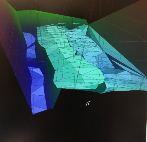
After several discussions with the client Storm agreed on a suitable specification which would deliver the results within their budget. This involved a topographic survey of 2 ponds, 3 fields and 16 cross sections on the River Evenlode and associated watercourses to give the client the data they needed to make critical decisions.
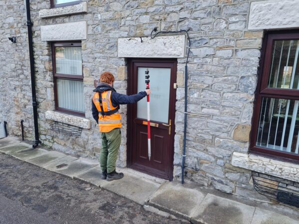
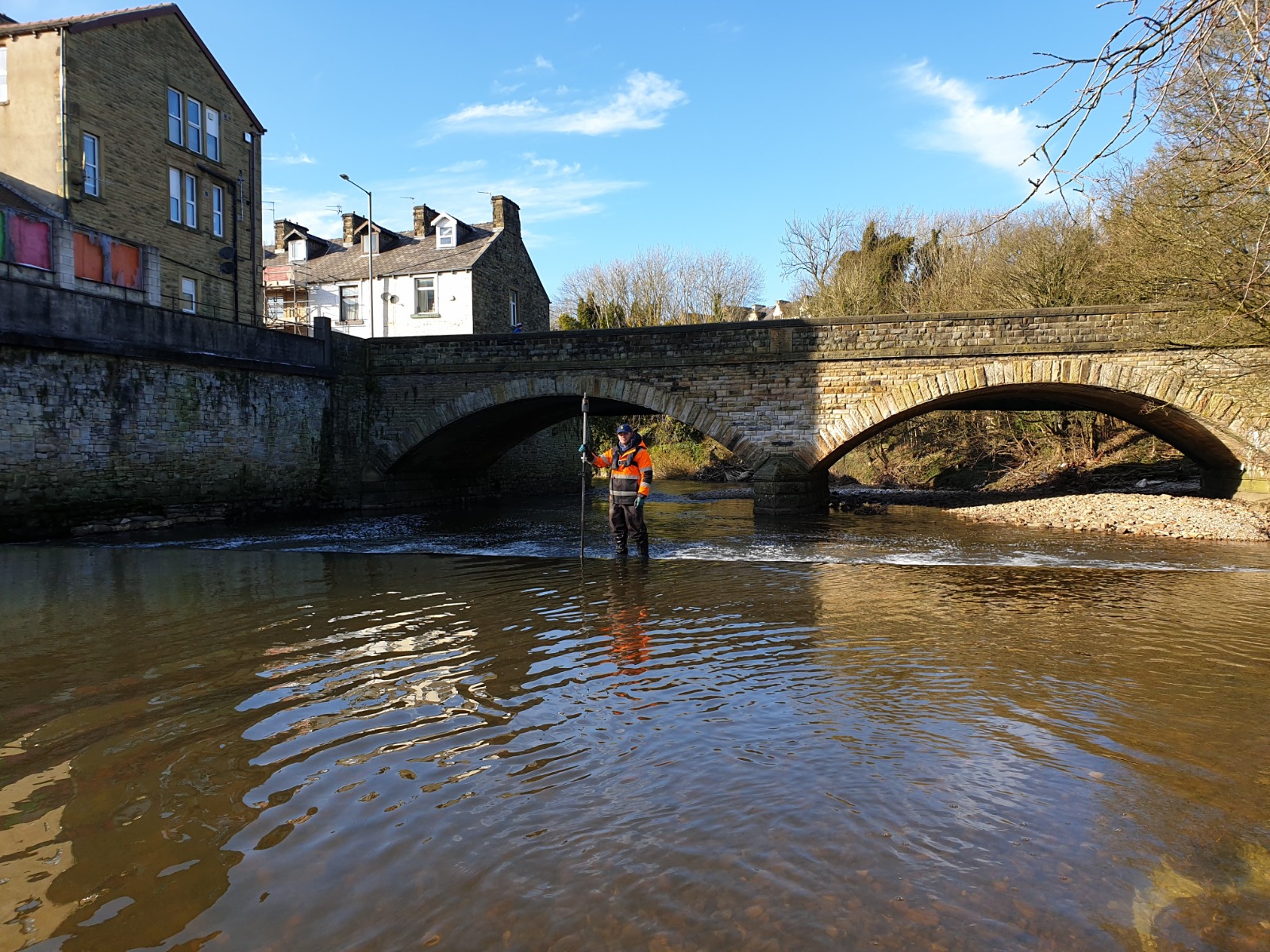
Also during February the South West team were approached by a new client to conduct a topographic survey of the weir south of Station Road in Padiham as well as several river channel cross sections. Because of the quick and clear communication, the team were able to mobilise onto the job quickly and deliver the job within a week of being requested to survey it. Originally the client had asked for a smaller number of cross sections, however, after full discussion of their end requirement and Storm’s knowledge and experience of geospatial river data, a revised specification with more cross sections was settled on. This allowed Storm to gather sufficient data from a larger area to aid the client’s modelling, including surveying of manholes on the riverbank.[nbsp]
The survey was completed without incident and where the cross sections extended into private gardens, caution was taken regarding access due to the current COVID-19 guidelines. Remote survey methods were used to obtain sufficient data up to the crests of the river to fulfil the requirements for modelling without having to risk entering properties. Downstream of the weir, deep water meant access was not possible via wading from downstream, moreover, the flow of water over the crest of the weir meant that using a flotation device was not feasible. To counter the issue, surveyors accessed downstream toe levels of the weir by poling from the weir crest. Walking on the weir crest was achieved in a safe manner owing to surveyors having appropriate PPE, as well as being able to assess the risk and determine it was safe to walk. This was achieved using skills learnt from the recently completed DEFRA Working in Water course that all surveyors attended in October with the Bristol Maritime Academy.
[nbsp]In other news this month, Storm are proud to announce Senior Surveyor Toby Moyse achieved his Full Member status of the Chartered Institute of Civil Engineering Surveyors, a superb achievement as Toby began his survey career with Storm in 2016 and is now a prominent member of the senior survey team. Meanwhile the three recently recruited trainee surveyors Alex, Jack and Josh all completed their DEFRA Water Safety Awareness Level 2 Course, a mandatory requirement when becoming a Storm employee.
The drier weather in late February was welcomed by the Storm Survey teams and allowed good access to all projects in the Storm schedule ensuring all the teams produce maximum capacity output.
Spring 2021 brings a full order book and some exciting developments in our environmental services capabilities. To catch up on the surveying adventures of Storm’s surveyors please do check out all our social media channels.
[nbsp]
Other News
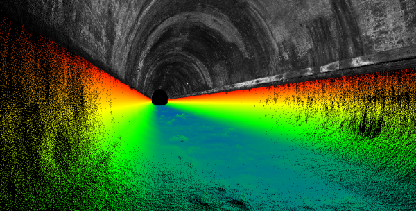
London’s Underground Tunnels bring out the Rockstar’s of Geospatial Survey
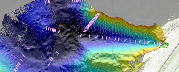
Positioning a Syphon Pipe in Winter? Tough Guy Surveyors get it done.
