Chipping Campden, Gloucestershire
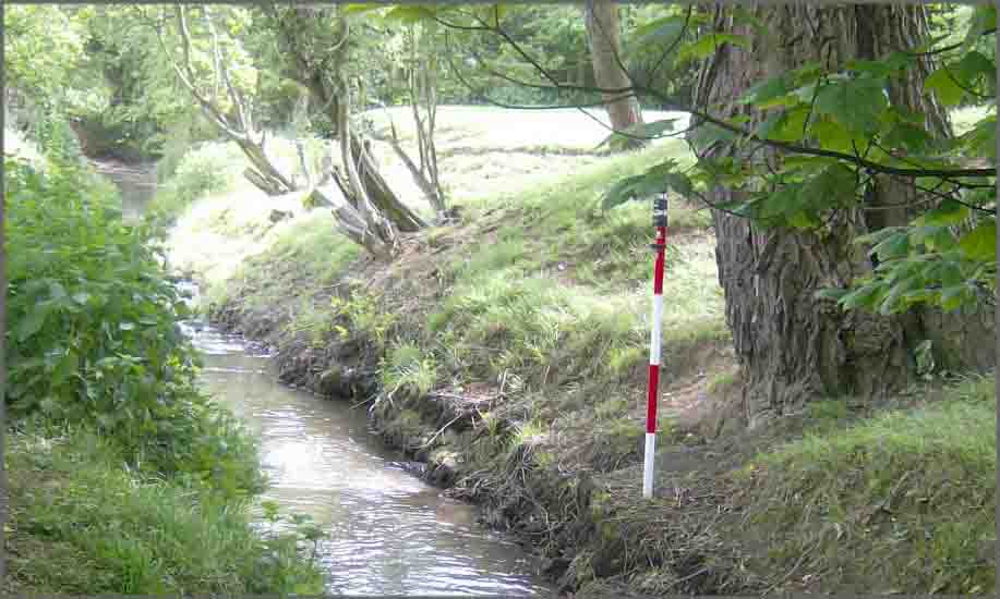
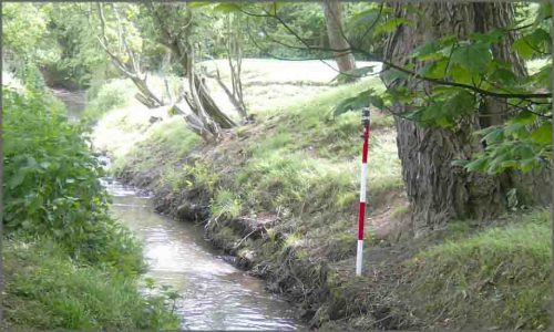
Storm Geomatics have completed a local project in the town of Chipping Campden, Gloucestershire. Over 3km of the idealic River Cam and tributaries were surveyed to create a hydraulic model which will help calculate existing channel capacities and highlight any areas with scope to alleviate flooding.
Setting-out work continued on the PassivHaus at Barton-on-the-Heath as the project gets closer to the concrete pour for the base slab in mid-June.
Additional survey was carried out at a major new recycling plant near Ettington in Warwickshire. Levels were taken in adjacent fields to check the new construction doesn?t interfere with flood storage capacities on the flood plains of the nearby brook.
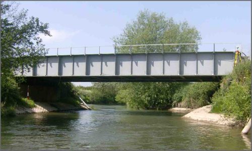
Work has been carried out on a flood plain near Wellington in Herefordshire. The flood plain is interrupted by a railway embankment passing through it. Storm Geomatics surveyors have measured cross sections on the river and produced elevation drawings of the embankment for hydraulic engineers to work with. The engineers will use the data to assess flow capacities through the embankment.
Surveyors and assistants have been on several courses this month. All site staff are now Royal Yacht Association (RYA) Powerboat Level II and RYA First Aid qualified. Staff with Personal Track Safety (PTS) also went on an optional communications course. The course was led by a retired British Army soldier and was useful in improving the survey teams field communications.
Other News
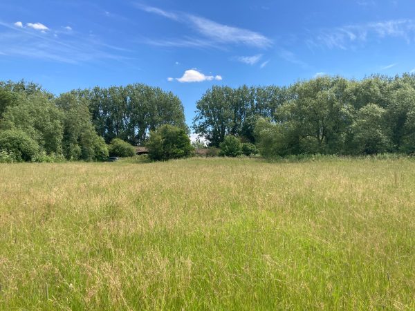
Midsummer Species Count Brings Diversity to the Meadow
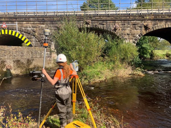
Pioneering River Digital Twin® Innovation and Optimal Survey Season Insights
