January’s Surveying Surge: Holding Back the Flood
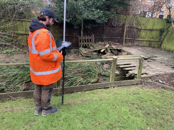
Traditionally January marks a significant surge of enquiries for Storm’s expert surveying services as flooding budgets are allocated and spent. This year has been no exception. Paul Nicholls, Storm’s Operations Coordinator, has exercised all his skills to successfully plan and deploy Storm’s arsenal of manpower, technology and fleet of specialist vehicles to keep all 30 current live projects on their critical path.
Paul though not originally from a geospatial background, was hand picked because of his previous experience. Alongside Paul other members of Storm’s team include Software Engineer Nethra Viswanathan who is responsible for the development of key applications that support smooth running of each and every project. Meanwhile, keeping the vehicle fleet, accreditations and external training on course is office manager Britt Hounslow. It is these core skills within the team that set Storm Geomatics as the UK’s go to company for river and still-water geospatial surveys.
The diverse individual skill set at Storm collaborates into one aim, to help reduce flooding and improve natural habitat.
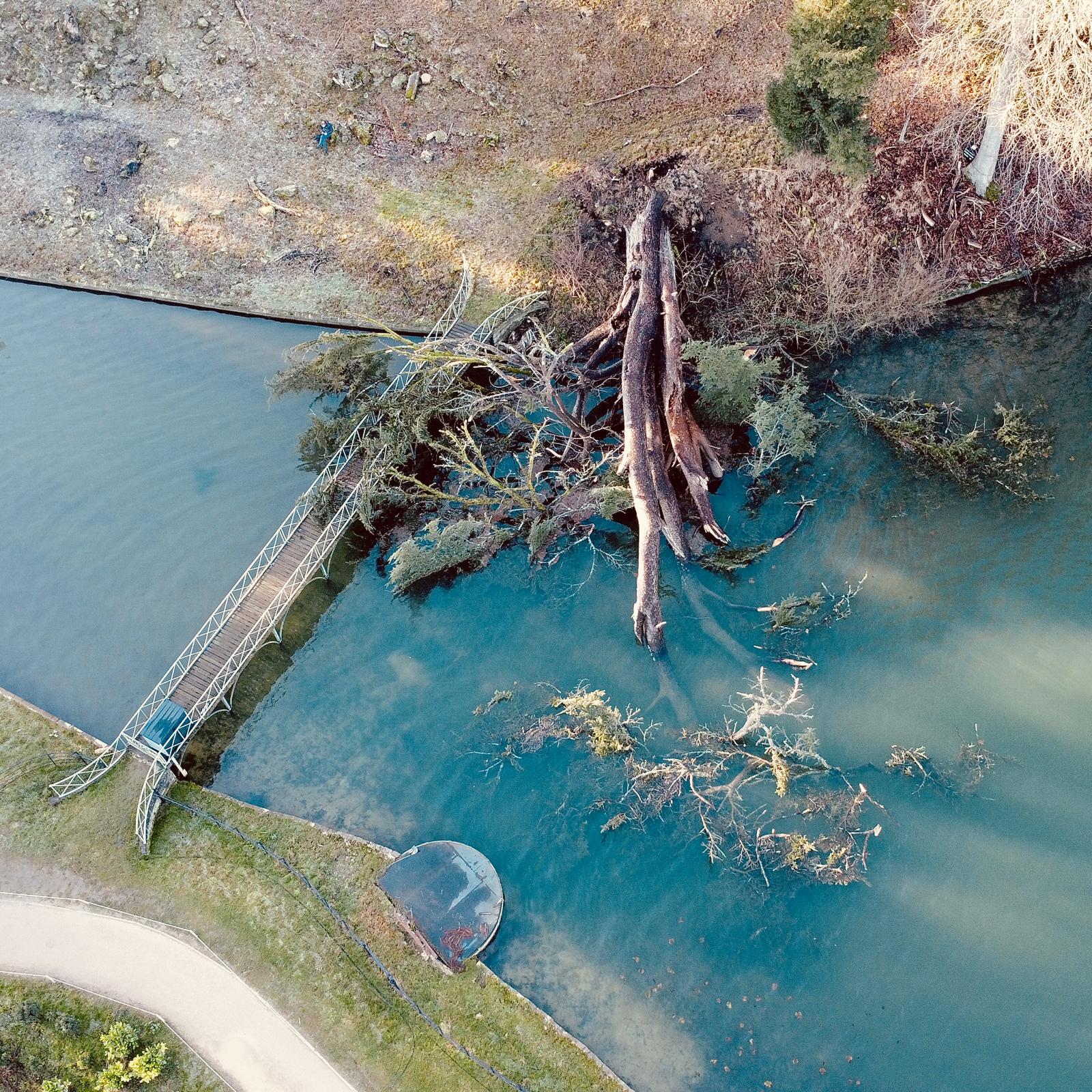
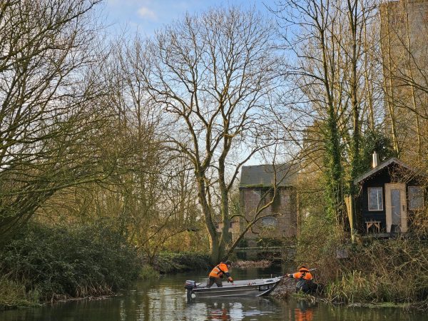
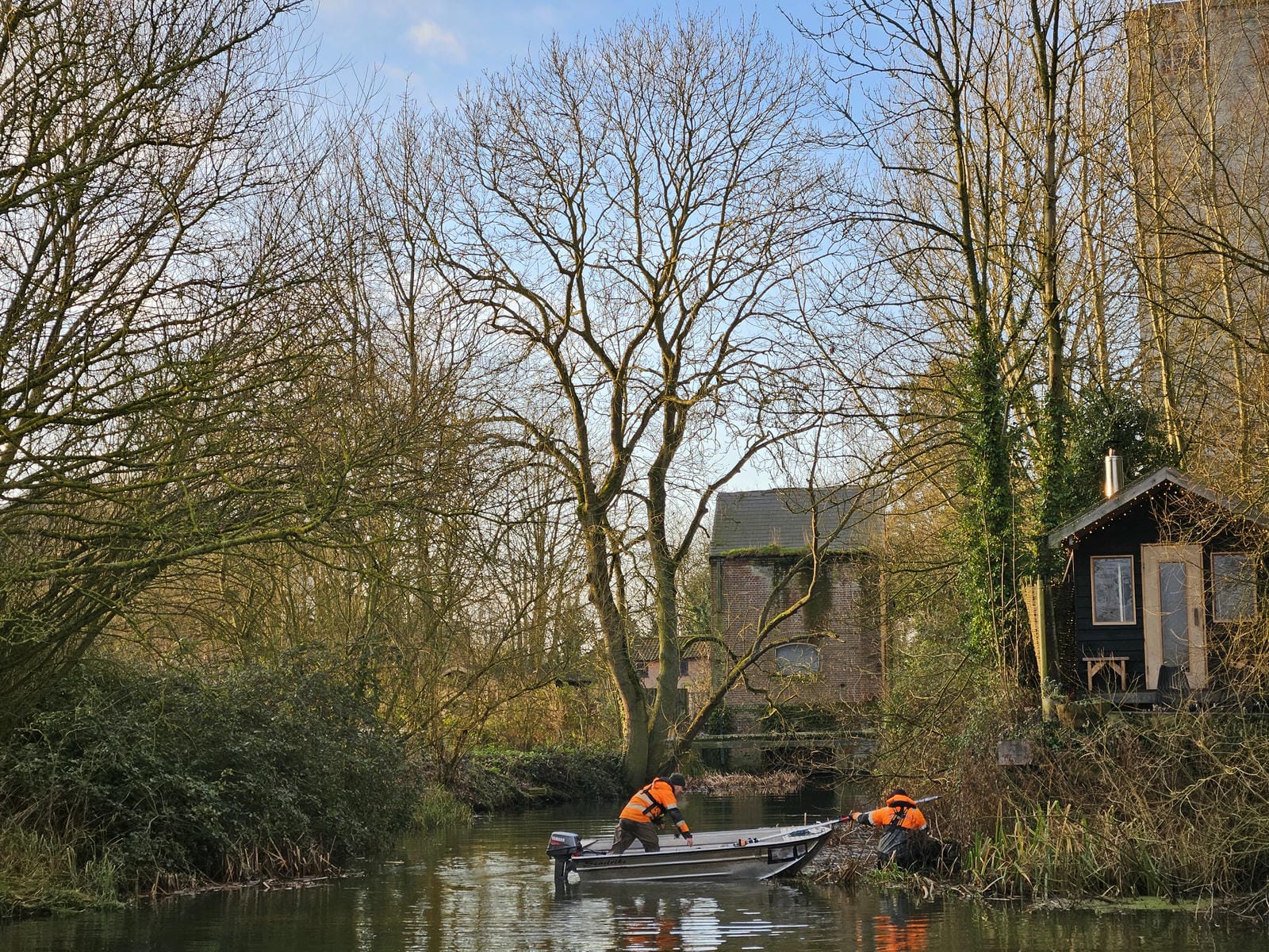
Storm’s rapid-response efforts in January saw two survey teams dispatched to the East Midlands following an urgent request from the Environment Agency for post-flood data collection. Surveyor Caitlin Tonge led the teams in capturing crucial flood level data, ensuring that authorities had the accurate information necessary for flood analysis and mitigation planning. Such was the urgency of the task that even Technical Director Anthony Pritchard stepped into operations, spending a day in the field collecting data himself.
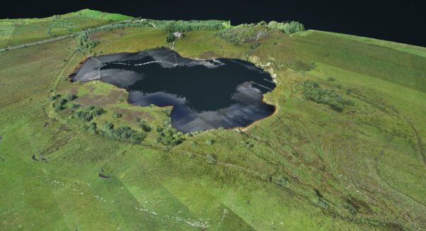
Storm implemented a streamlined real-time data processing system. This approach significantly reduced turnaround time, reinforcing Storm’s commitment to providing timely and high-quality geospatial insights. This case study delves deeper into this cutting-edge workflow.
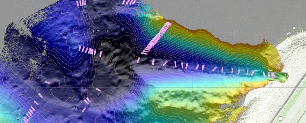
Another significant January project was The Bungay Model Update Project. The primary objective was to update the river model River Waveney and it’s tributaries. A challenging project for many reasons including some complex hydraulic structures including the Bungay Sluice. Leading the project was Senior Surveyor Tom Atkinson who commented “The updated model will support future flood risk planning, incident response, and asset investment decisions, ultimately improving resilience for communities along the River Waveney.”
The start of the year has already demonstrated Storm Geomatics’ commitment to delivering hyper-intelligent geospatial data solutions under tight deadlines and challenging conditions. By integrating technological advancements, expert manpower, and responsive project management, Storm continues to play a vital role in flood risk mitigation and environmental improvement across the UK.
As we progress through the year, Storm Geomatics remains dedicated to pushing the boundaries of geospatial excellence, ensuring that communities, authorities, and stakeholders receive the best possible data for informed decision-making.
Sustainability is more than a commitment – it’s embedded in how we operate. Storm are Driving Real Change: Not GreenWashing , follow our path to a sustainable future.
Our social media channels are always buzzing with our “wet n wild” adventures so please do follow us LinkedIn

Other News
Stormin’ Fun in the Sun
Collaborative Survey Techniques offer Next Level Solutions