Structural Slippage and Scouring Risk on River Wyre
The Background
- Date
- September 2024
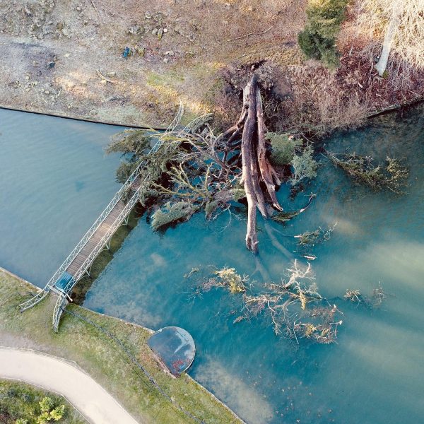
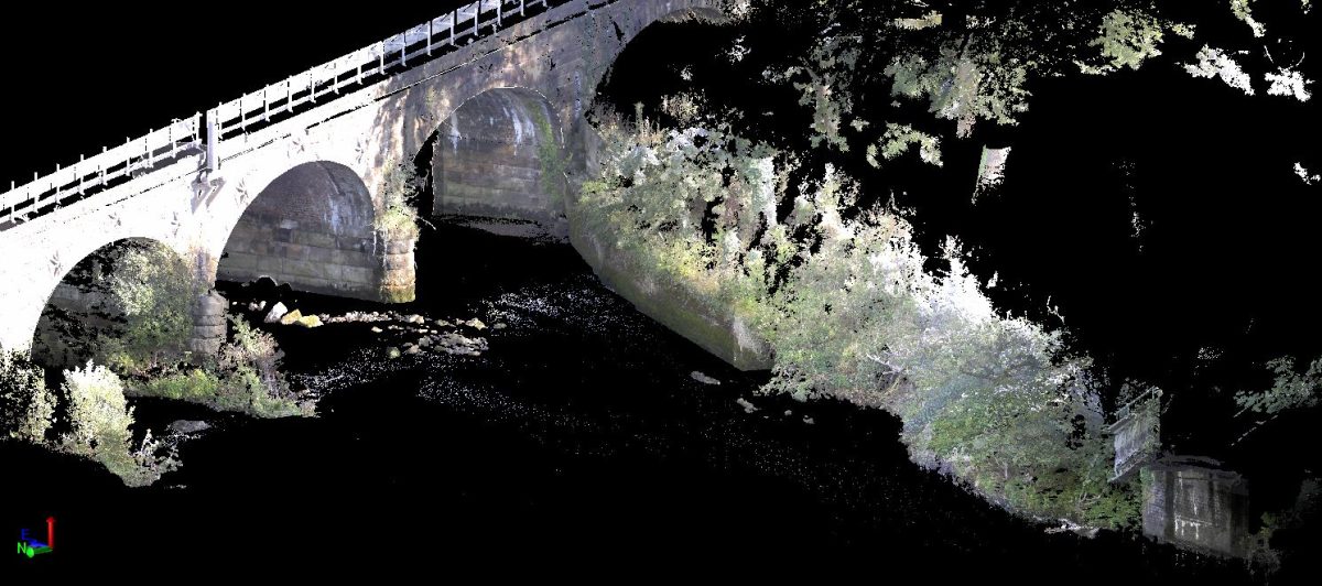
In September 2024, a long-standing client reached out to Storm Geomatics, known for their expertise in watercourse surveys, to tackle an urgent issue involving structural slippage. A channel bank and supporting wall along the River Wyre in Scorton, Lancashire, had collapsed into the watercourse, posing significant risks to the surrounding infrastructure. The collapsed wall, now submerged, required precise measurements to model the scouring effects on the riverbed.
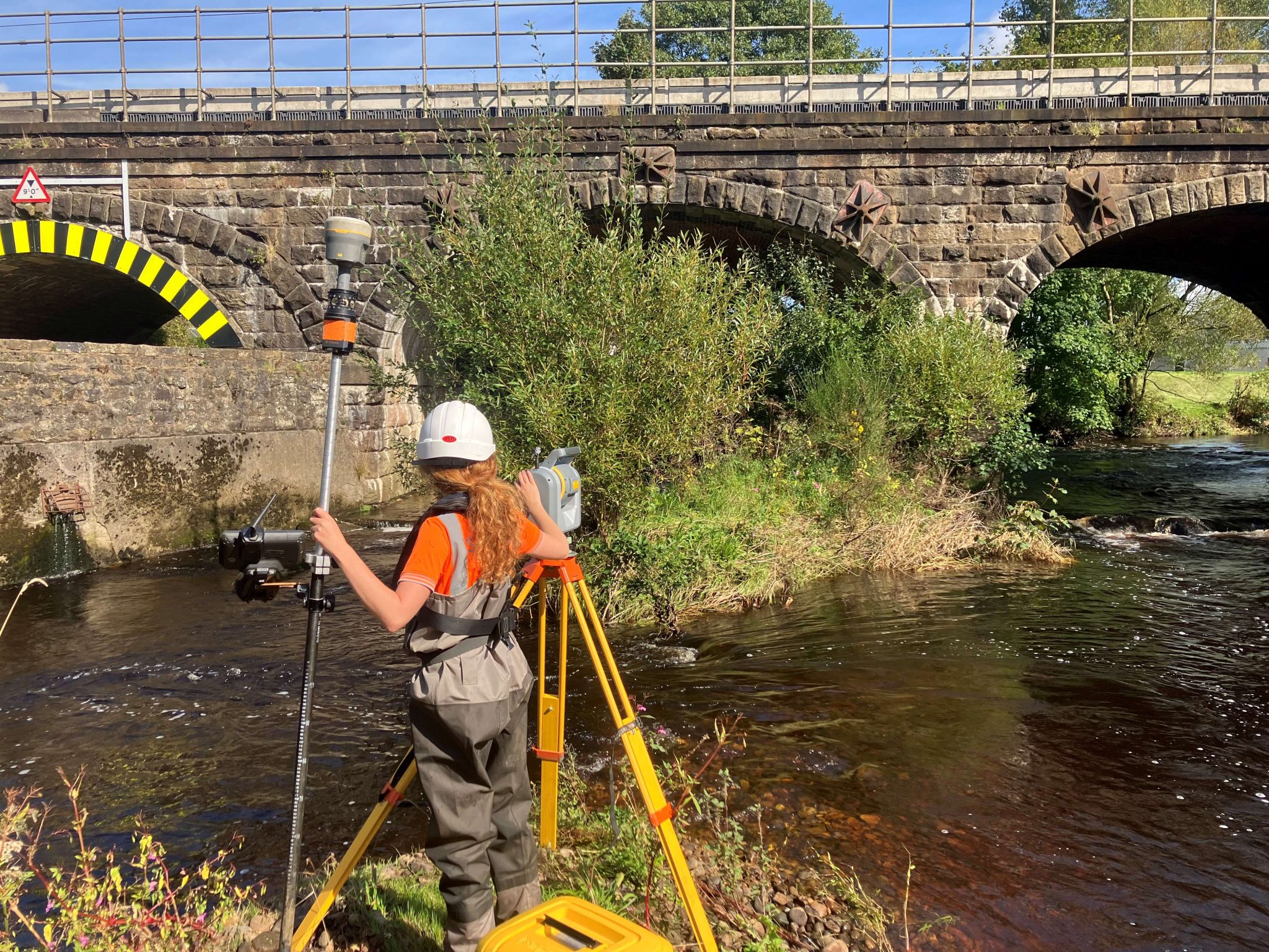
This critical project was further complicated by its proximity to Network Rail assets, an active road bridge, and the fluctuating September water levels of the River Wyre. To address these challenges, Storm Geomatics deployed their highly skilled survey team, aided by superior technology.
The Challenge
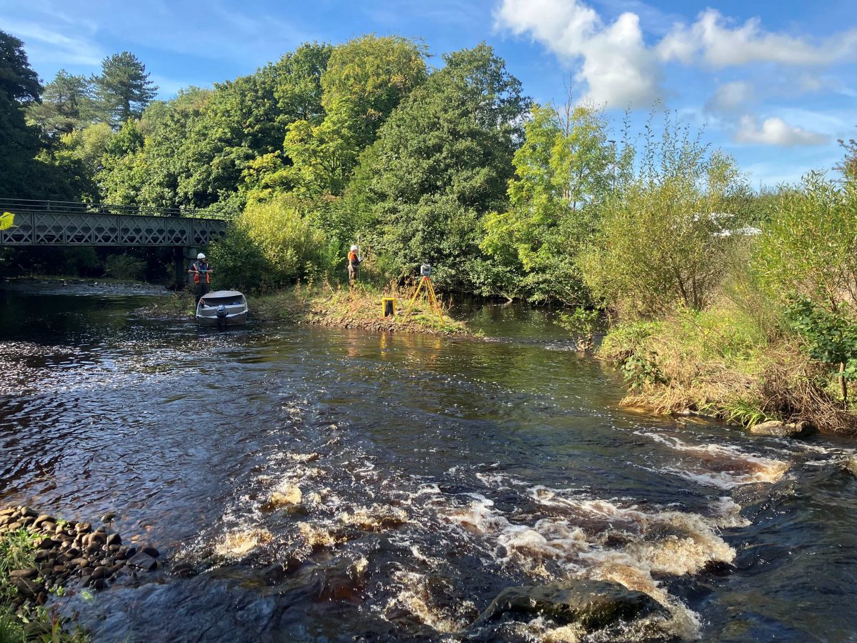
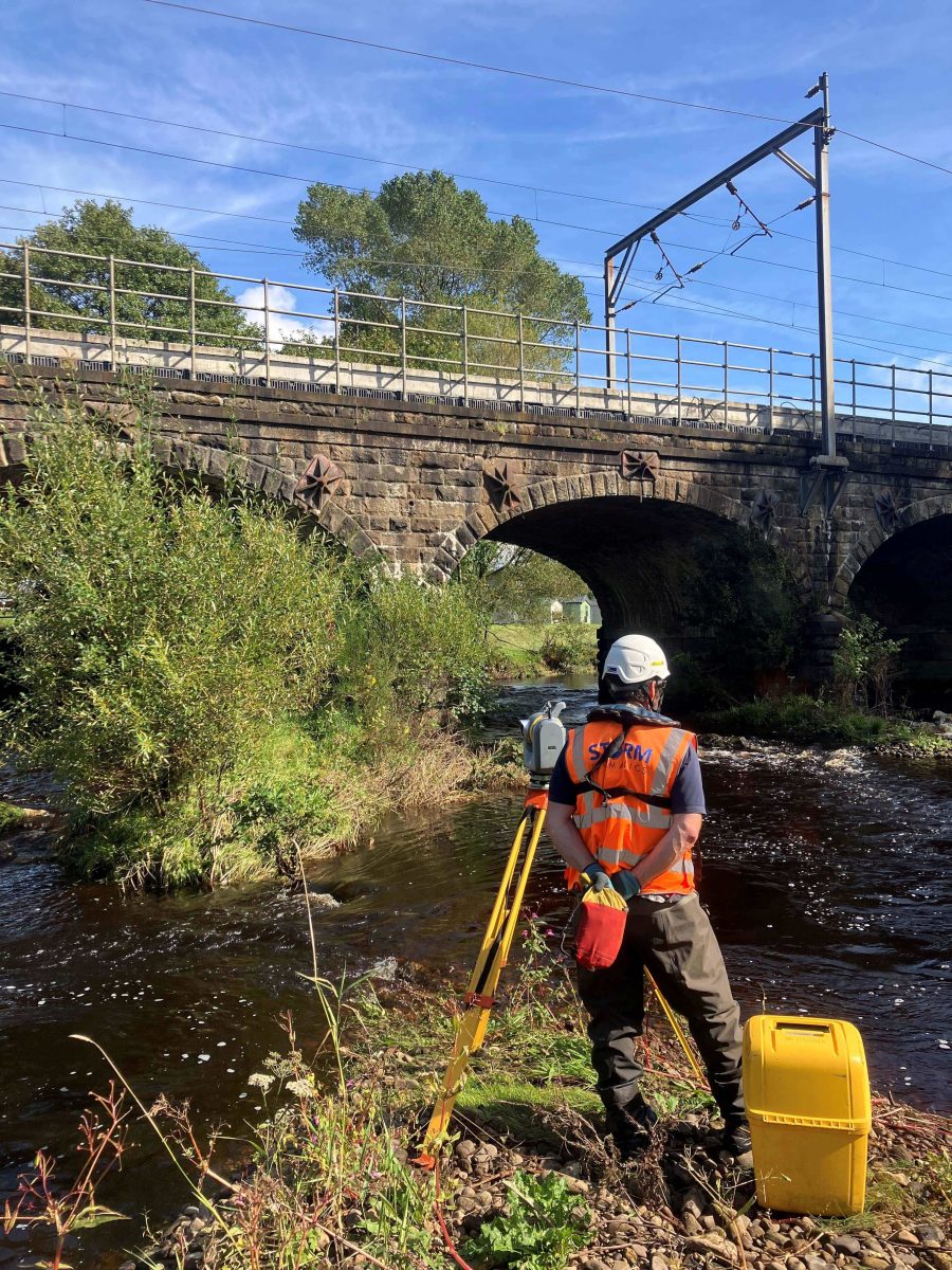
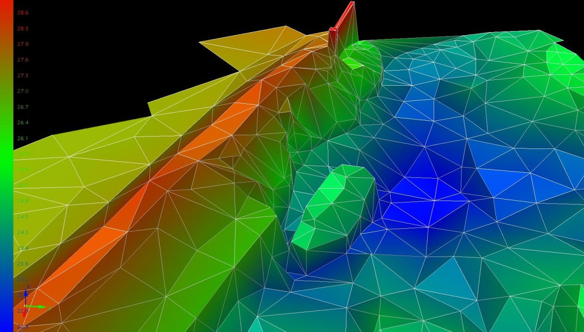
Given the instability of the collapsed bank and wall, the survey team employed a robotic Trimble SX10 terrestrial laser scanner, ensuring the team’s safety by operating from the opposite riverbank. The survey of the riverbed and submerged supporting wall was conducted on a detailed 2.5m grid, with even finer measurements in critical areas, to deliver a highly accurate representation of the affected river channel.
The team also utilised the Seastrike aluminium survey vessel to manually collect precise bathymetric data on the submerged debris, providing critical insights into how the slippage had impacted the river flow and scour patterns.
Due to the urgent nature of the project, the team from Storm Geomatics mobilised swiftly. After the project award, the team was on-site, inducted, and actively surveying by mid-morning. In just under two days, surveyors had completed the installation of control points, bathymetric measurements, and laser scans of the site.
The Results
By the next day, Senior Surveyor Jon Teall had delivered a full set of detailed results to the client, ensuring fast, reliable data for critical decision-making on riverbed stability and asset protection.
Deliverables included:
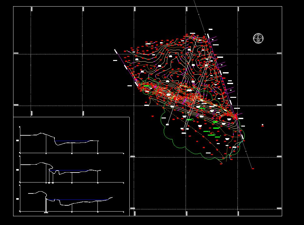
- Detailed topographic drawings that integrated both wet and dry surveys
- Cross-sectional drawings of the river channel and wall collapse, including three key representative cross-sections of the slippage area
Recent News

From Dee to Data: Storm Delivers Dynamic River Data
What’s Driving Our Success in Surveys & Leadership?
