Silt & Surveys : What’s occurring in the River Idle?
The Background
- Date
- July 2024
- Client
- Land & Water
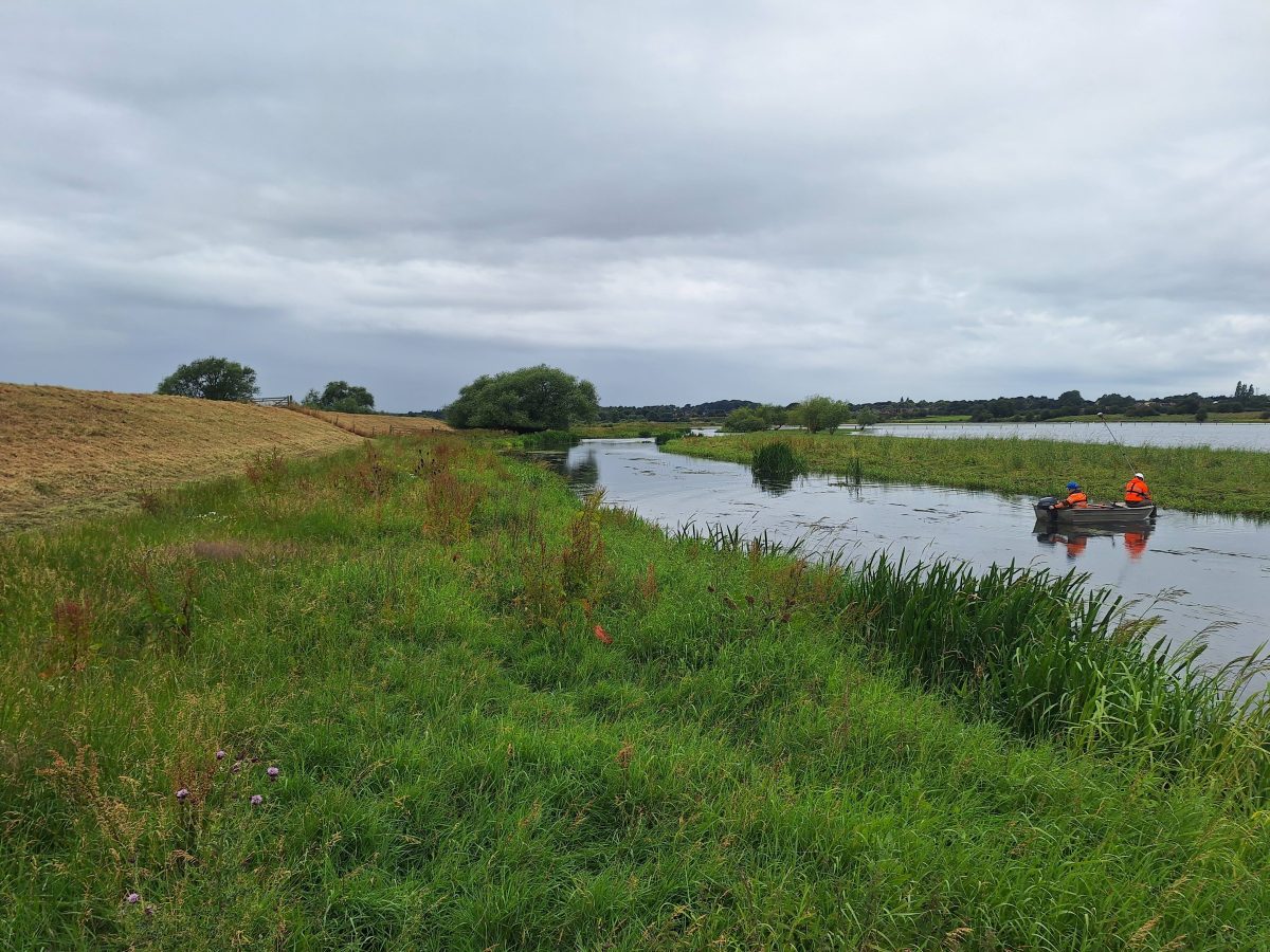
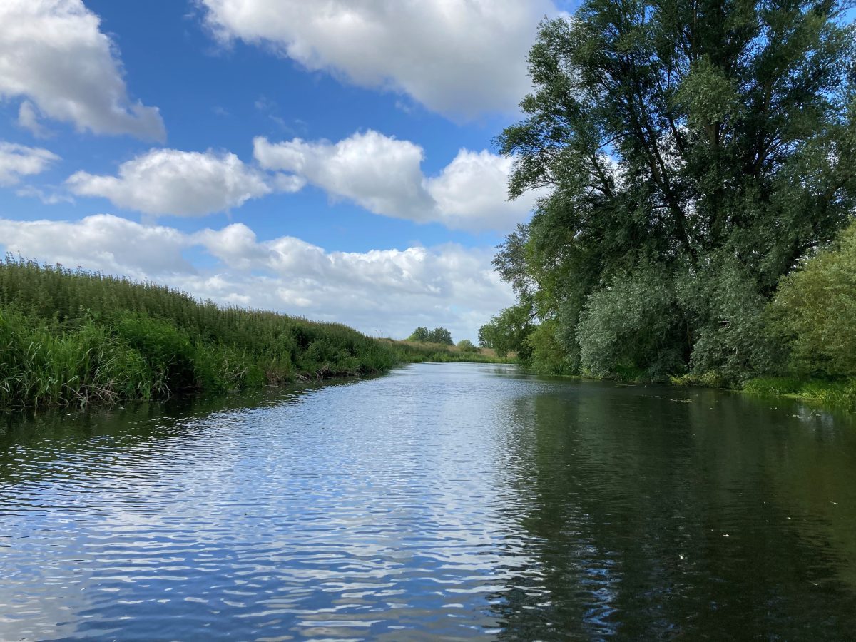
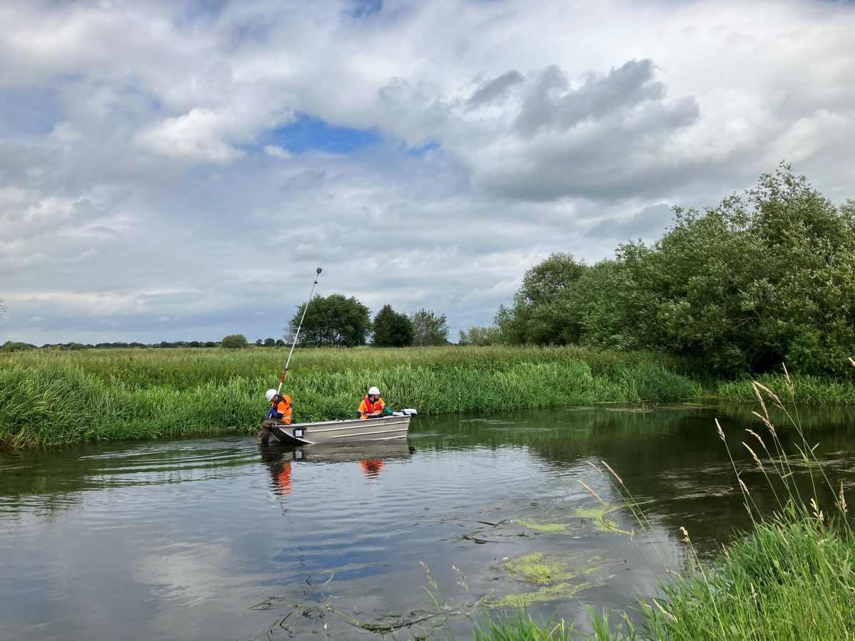
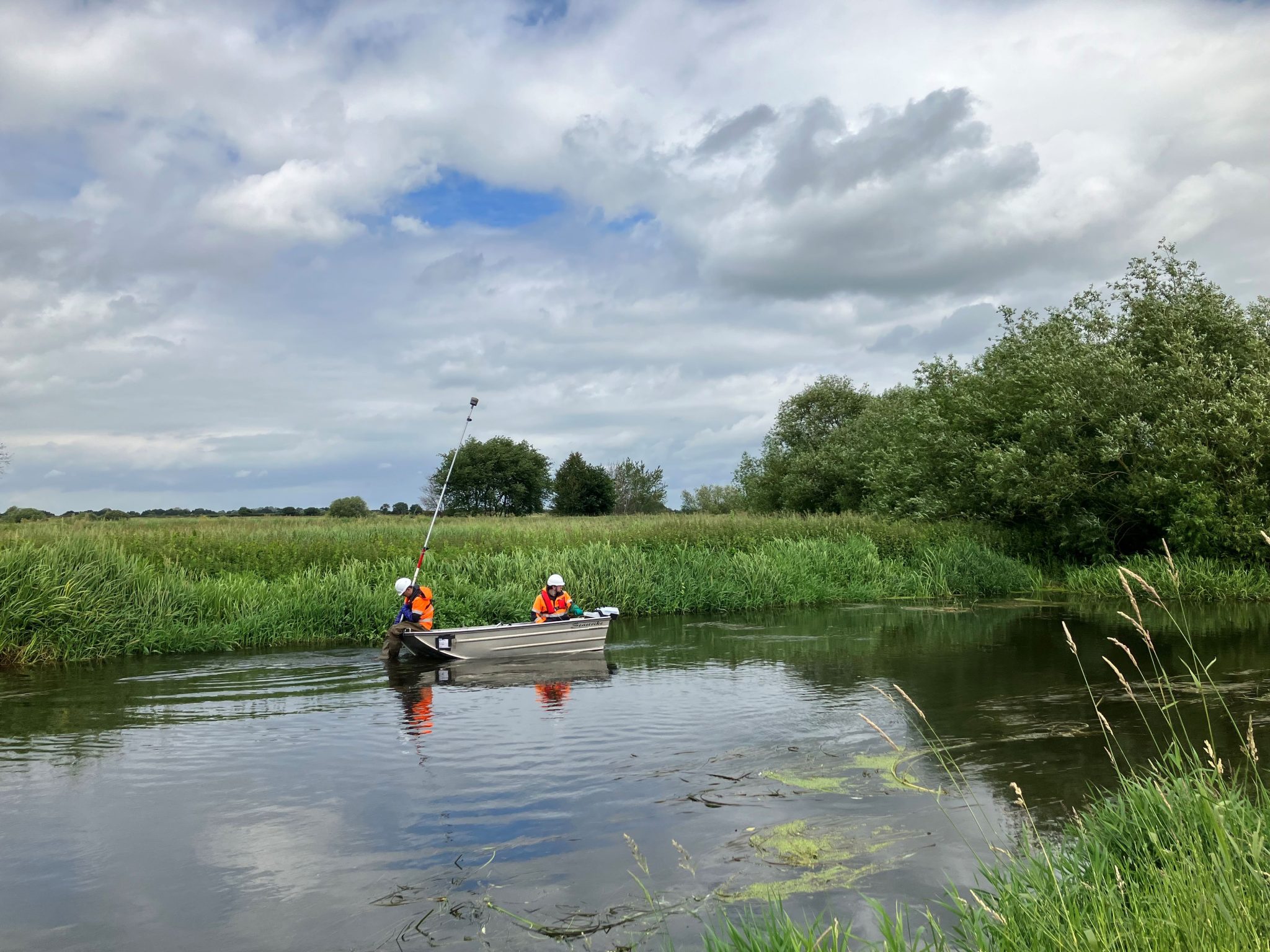
In July Storm Geomatics were tasked to conduct a bathymetric survey of a near 10km stretch of the River Idle near Misson, Nottinghamshire. This required surveyors to take soft and hard bed levels across the river at 25m intervals totalling 372 survey locations.
The area is currently in flood in places and has been for over three years. The purpose of the bathymetric survey is to calculate how the silt volume and how badly it is affecting the capacity of the river. Then, in the future look to dredge parts of it to help lower the water level.
The Challenge
The biggest challenge faced by the survey team was the size of the area to be surveyed. Luckily Storm are well versed at such projects and logistical planning is paramount with a project such as this. Having a streamlined method outlined before deployment meant the teams could hit the ground running when they arrived on site. The 45 sections per day target, was achieved through mobilising two separate teams of surveyors.
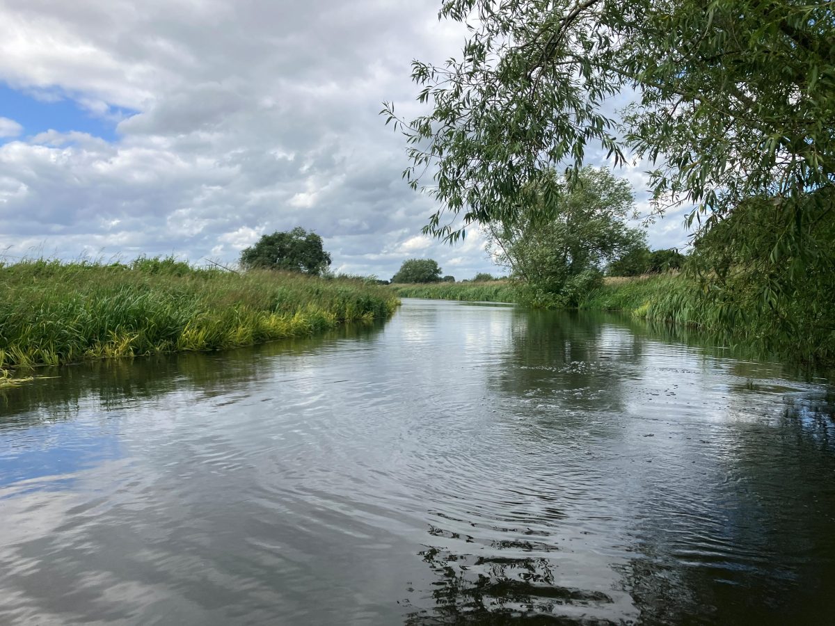
Carrying out this survey at the height of summer brought the additional challenge of tree cover. Using the Trimble R12i GNSS Receiver kept the project on it’s critical path. This piece of kit allowed surveyors to work efficiently without having to worry about getting the pole vertical as the tilt compensator executed that. However, this method was challenging at times due to overhanging tree cover on the channel, making survey difficult owing to the lack of clear sky visibility and it was also dangerous when trying to navigate through tree branches. Decisions had to be made on site as to what was achievable. Either moving sections away from trees or stopping some short of tree cover. In areas where long sections of the banks were covered in trees, one team redeployed the following week to utilise a total station setup and fill in data gaps left from the original attempt.
One section of the survey (750m) was in a Site of Special Scientific Interest (SSSI). This was due to the diversity of waterfowl it attracts. Lead Surveyor Tom Isaac and the team carried out a below the water level survey – to mitigate the risk of disturbing any nests – using the ePropulsion electric outboard motor. In doing so, the surveyors made sure to leave the SSSI exactly as they found it, and created minimal disturbance during the survey operation.
The Results
After five days on site the two survey teams achieved both hard and soft bed detail on nearly 10km of the survey reach. This data was processed to produce a plan drawing of the entire reach, 372 cross section drawings and a long section drawing with an all-important silt volume calculation.
These deliverables were completed within 2 weeks as GeoRiver® software was used to process the raw data into workable files very efficiently, eliminating many manual steps thus creating efficiency and high quality, error free data.
Recent News

From Dee to Data: Storm Delivers Dynamic River Data
What’s Driving Our Success in Surveys & Leadership?
