Midsummer Species Count Brings Diversity to the Meadow
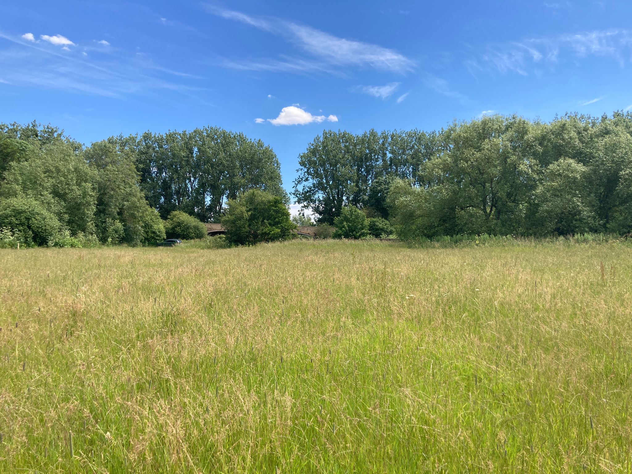
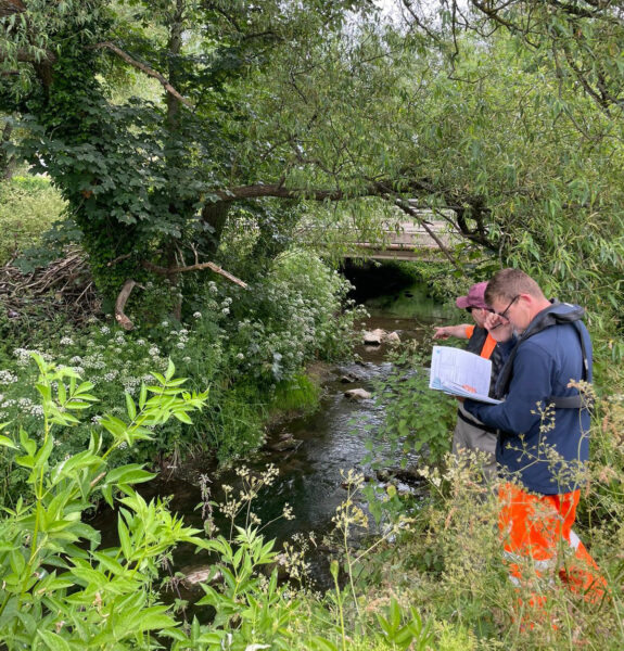
As mid-summer approached, four lucky surveyors were deployed to Storm Wildlife’s very own Halford Flood Meadow for a species count. A wildflower seed mix planted in September 2023 is now in full bloom, making June the perfect time for the annual species survey.
To ensure consistency year after year, our surveyors used What3Words to create precise sampling areas, helping us track the meadow’s transformation over time. The Photo Mapp app was invaluable for geolocating plant photos, ensuring accurate records for each quadrat. After the count, PlantNet identified the various species.
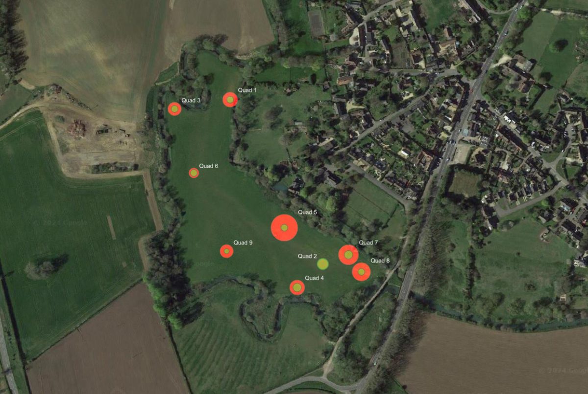
This year, there has been 110% increase in species compared to 2023! The meadow now boasts plants such as Ox-eye daisy, crested dogstail, and lesser trefoil. A heat map was created highlighting the most diverse areas, revealing that regions of a slightly higher elevation had the highest species count. The team are ever hopeful these numbers will continue to rise next year.
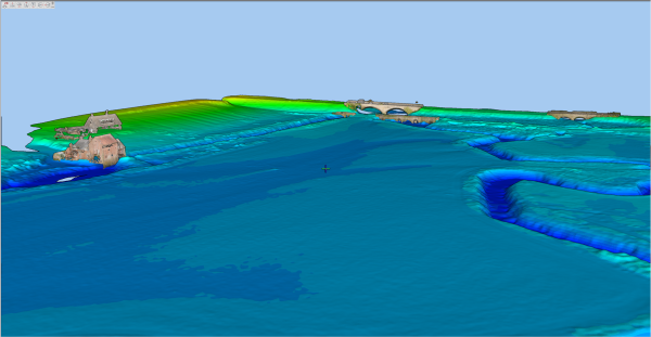
Interest is surging in Storm’s River Digital Twin® (RDT®) models, designed for a variety of projects. In a recent article co-written by Toby Moyse & Mike Hopkins, they explain that a RDT® is a comprehensive digital representation of a physical river system. Storm is pioneering unique surveying techniques to create these bespoke models. The most exciting aspect? The possibilities are endless and evolving! RDT® models integrate faster data collection and LIVE river level & flow monitoring data. Read the article here.
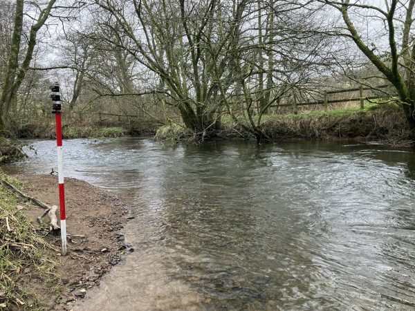
A team of Storm surveyors undertook a river channel survey of the Ladywell watercourse in North Yorkshire to help inform a hydraulic model that was to be prepared for a flood risk assessment study. A full case study can be read here to understand how the team overcame risks this watercourse posed.
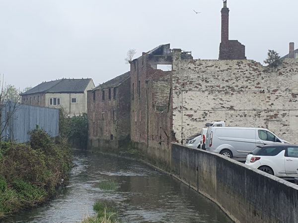
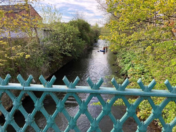
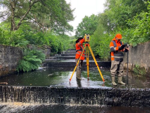
Also, during June Storm were contracted to survey an urban stretch of the River Skerne, through Darlington. After a previous survey company had encountered numerous obstacles due to the urban setting of steep walls & restricted access points; Storm’s expertise was required to overcome the issues using water safety trained surveyors. To discover if the team successfully captured all the required data read the case study here.
It was a month for Storm to visit various events with a team of specialist RPAS, Utility and BNG surveyors attending the annual UK geopspatial event GeoBusiness. The team took the opportunity to experience emerging technologies & attend seminars that enhance their specialist surveying skills. Polly Hopkins was also in attendance in her role as a Survey Association Council member, taking the opportunity to network with other members to learn about their experience’s of TSA membership. Meanwhile Mike Hopkins & Toby Moyse attended Flood & Coast Conference in Telford, Shropshire. This opportunity led to some exciting conversations with clients about their survey requirements and how innovations such as River Digital Twins® can enhance their projects.
In early July Mike Hopkins is hosting a webinar alongside ecologists from Gavia Environmental about the hot topic of biodiversity net gain and the benefits of using a geospatial river surveyor skills when approaching this subject. Please do look out for the webinar recording next month. Or please email mike.hopkins@storm-geomatics.com should you wish to know how these benefits can maximise your planning application potential.
As summer rolls on Storm are looking forward to a clear run of exciting projects as election fevers simmers down in early July. And more importantly the most pressing question: will Storm win their annual cricket match they play against local side Ilmington CC? Check back next month to find out….
Other News
2024: Storm Set for a New Era of Exceptional Survey Services
Inclement Weather Tests Storm’s Technology
