Services
Stillwaters
Scroll
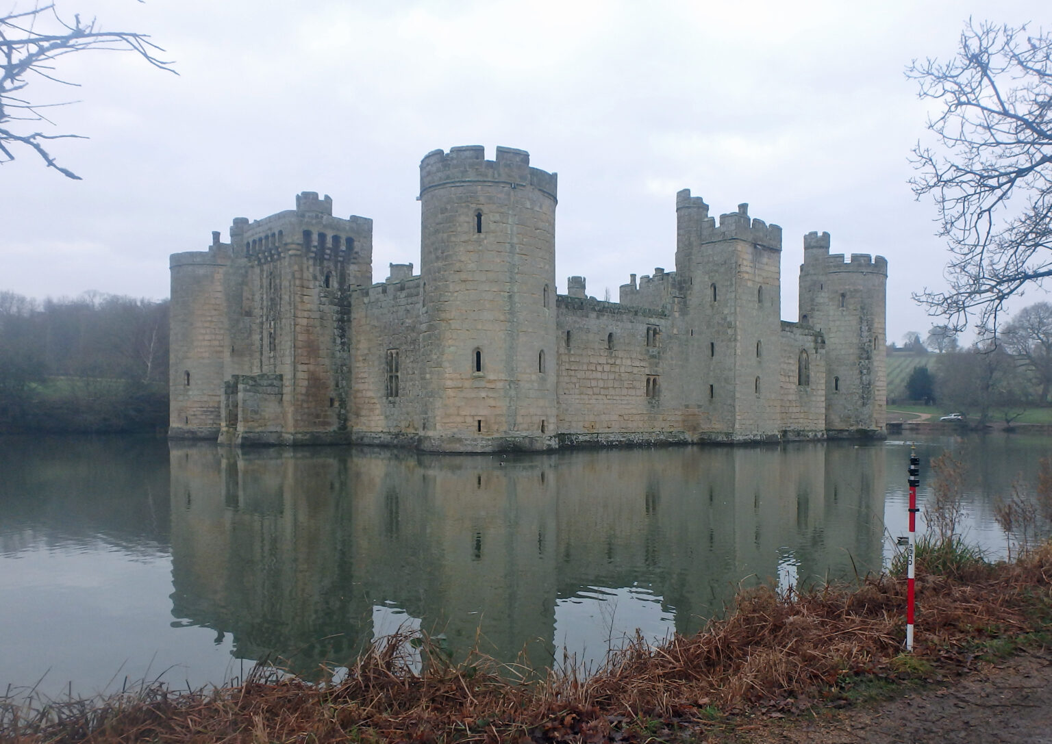
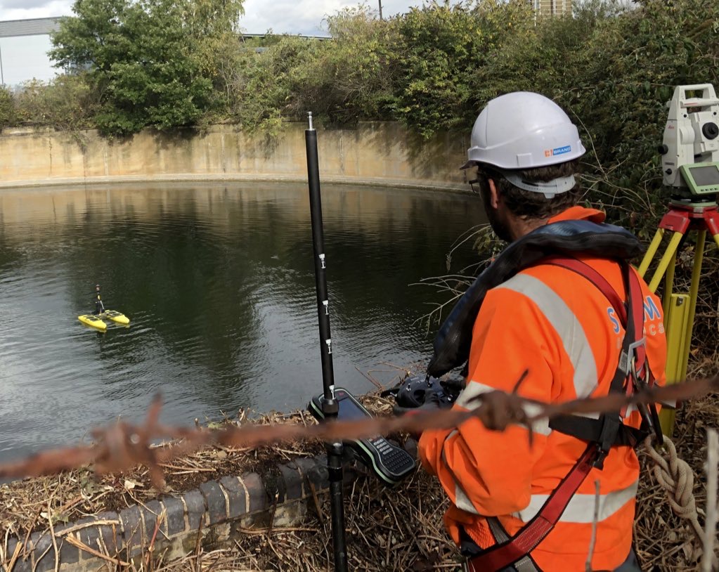
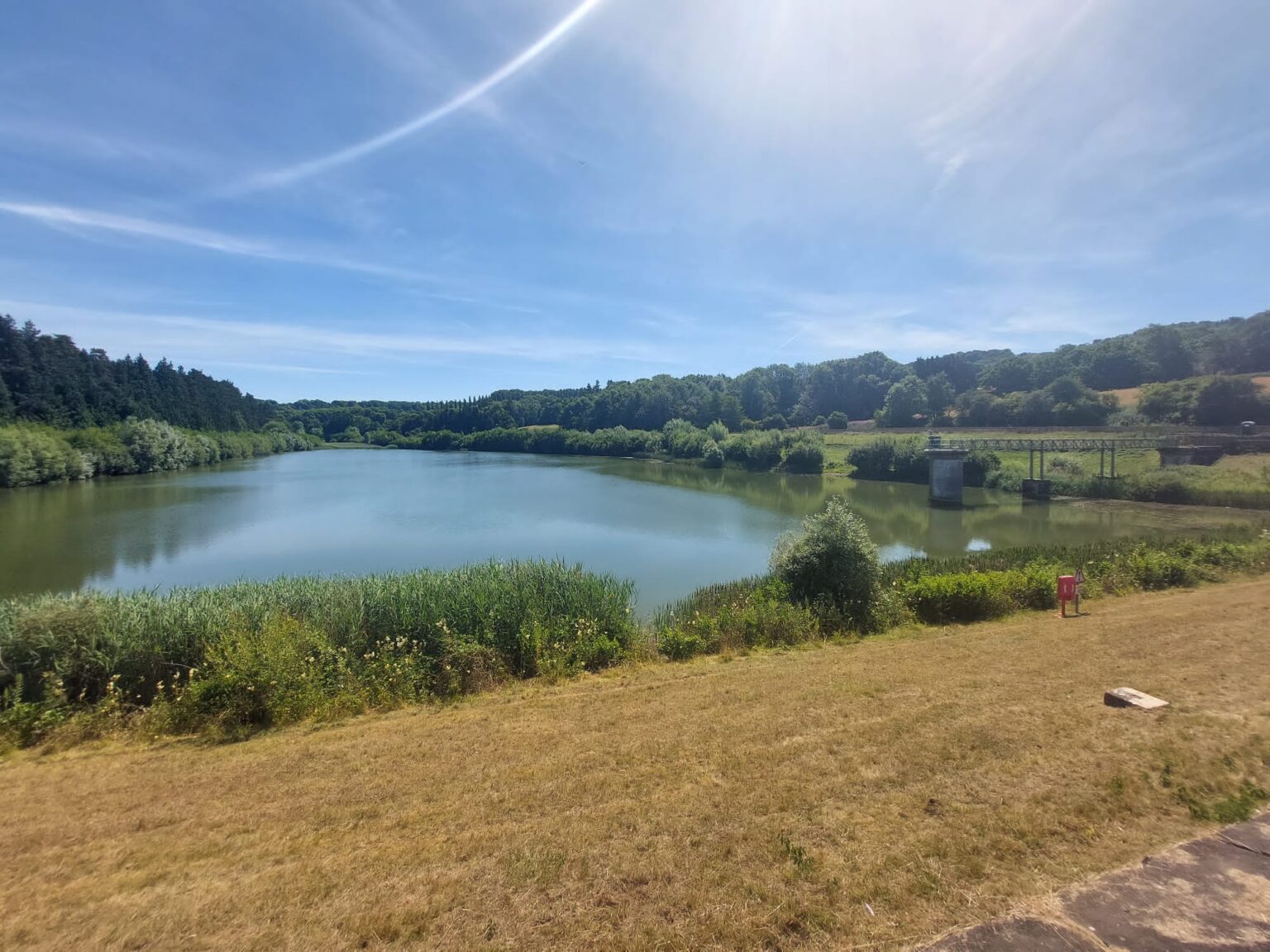
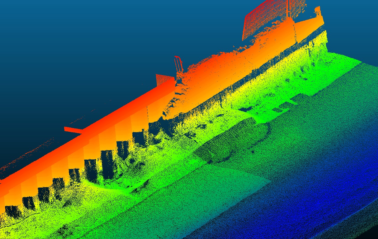
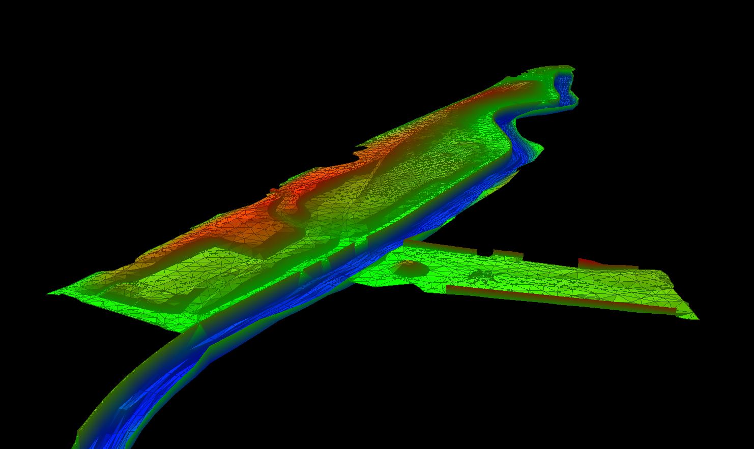
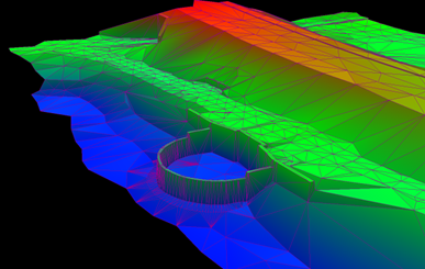
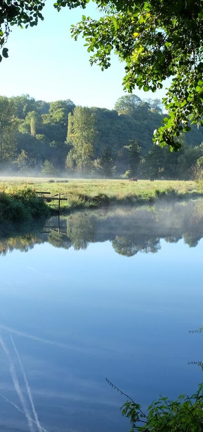
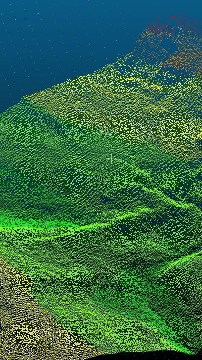
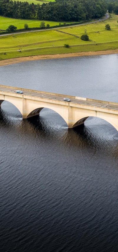
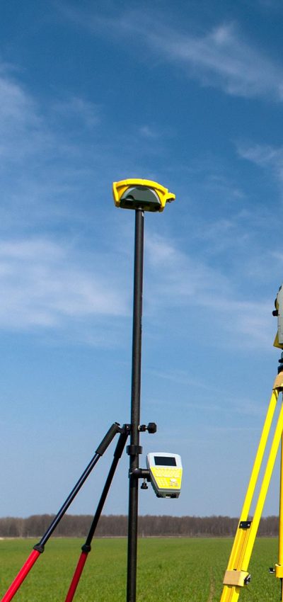
Stillwaters of all sizes can be surveyed to provide bed topography information and volume calculations for different levels of water. Vast and deep waters can be surveyed quickly using a single or multi-beam echo sounder and real-time kinematic GNSS. Lakes and reservoirs that are inaccessible with a normal car, can be accessed with a 4×4 or quad bike. Silt surveys can be undertaken of lakes to establish hard and soft bed levels and subsequent silt volumes can be calculated. Stillwaters are presented as contour drawings or coloured by elevation to represent any bed features.

Expert Tip
Recent News

From Dee to Data: Storm Delivers Dynamic River Data
Spring is the optimum season for geospatial surveys, channel surveys, bathymetric survey for flood mapping & hydraulic modelling.
What’s Driving Our Success in Surveys & Leadership?
February was a whirlwind at Storm Geomatics, with demand for our expert services showing no signs of slowing down
January’s Surveying Surge: Holding Back the Flood
Traditionally January marks a significant surge of enquiries for Storm’s expert surveying services as flooding budgets are allocated and...


